Toggle navigation
LMEC Home
Exhibitions
Georeferencing
Tools for Teachers
Collections
My Favorites
Sign Up / Log In
Search
Search the map portal
Map Collection
Map Collection
Map Sets
Search
Search
Search for
Search In
All Fields
Creator
Title
Subject
Place
Search All Digital Collections
Advanced Search
1101 Results
My Search
Start Over
More Like
commonwealth:mc87s701v
Remove constraint More Like: commonwealth:mc87s701v
Filter your Search
Place
North and Central America
1,097
United States
1,092
Suffolk (county)
1,077
Boston
1,076
Massachusetts
774
Roxbury
59
South End
56
Fens
41
more
Place
»
Topic
Boston (Mass.)--Maps
752
City planning--Massachusetts--Boston--Maps
418
Urban renewal--Massachusetts--Boston--Maps
253
Real property--Massachusetts--Boston--Maps
136
Land use--Massachusetts--Boston--Maps
102
Buildings--Massachusetts--Boston--Maps
94
Landowners--Massachusetts--Boston--Maps
79
Local transit--Massachusetts--Boston--Maps
58
more
Topic
»
Date
Date range begin
–
Date range end
Current results range from
1743
to
2023
View distribution
Creator
Boston Redevelopment Authority
386
Geo. H. Walker & Co
27
Boynton, George W., d. 1884
21
Sampson, Davenport & Co
21
Sampson, Murdock & Co
20
Bromley, George Washington
18
Bromley, Walter Scott
17
Lufkin, Richard F. (Richard Friend)
17
more
Creator
»
Format
Maps/Atlases
1,100
Manuscripts
9
Drawings/Illustrations
3
Prints
1
Georeferenced
Yes
98
No
1,003
Collection
Boston and New England Maps
921
Urban Maps
821
Norman B. Leventhal Map & Education Center Collection
680
Boston Redevelopment Authority Collection
448
American Revolutionary War-Era Maps
25
Mapping Boston Collection
20
Massachusetts Real Estate Atlases
12
William L. Clements Library Collection
10
more
Collection
»
Available to use
No known restrictions
1,033
Creative Commons license
34
Search Constraints
Sort by relevance
relevance
title
date (asc)
date (desc)
Number of results to display per page
20 per page
10
per page
20
per page
50
per page
100
per page
View results as:
grid view
map view
Search Results
261.
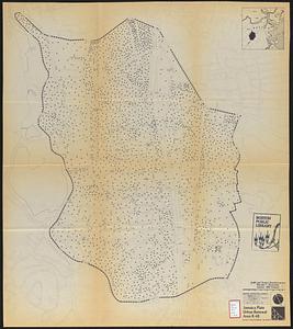
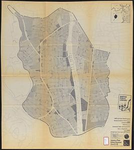
Jamaica Plain urban renewal area r-49 : existing population density
262.
Jamaica Plain urban renewal area r-49 : existing and proposed community facilities
263.
Jamaica Plain urban renewal area r-49 : proposed land use
264.
Jamaica Plain urban renewal area r-49 : existing land use
265.
Jamaica Plain urban renewal area r-49 : proposed treatment and title I projects
266.
Land use New York streets - South Cove 1953
267.
Long Wharf DEM/BRA master plan : master plan scheme
268.
Long Wharf DEM/BRA master plan : proposed dredging scheme
269.
Long Wharf phase II illustrative plan
270.
Longwood Medical Area
271.
Map of Boston naval shipyard, Boston, Mass. showing conditions on Jan. 1, 1966
272.
Mattapan project : building deficiencies
273.
Mattapan project : property map
274.
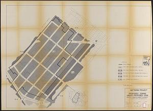
Mattapan project : proposed zoning under proposed code
275.
Mattapan project : right-of-way adjustment plan
276.
Mattapan project : land use and disposition plan
277.
Mattapan project : existing zoning under proposed code
278.
Mattapan project : existing land use
279.
Mattapan project : proposed zoning
280.
Mattapan project : existing zoning
‹ Prev
Next ›
1
2
…
10
11
12
13
14
15
16
17
18
…
55
56