Toggle navigation
LMEC Home
Exhibitions
Georeferencing
Tools for Teachers
Collections
My Favorites
Sign Up / Log In
Search
Search the map portal
Map Collection
Map Collection
Map Sets
Search
Search
Search for
Search In
All Fields
Creator
Title
Subject
Place
Search All Digital Collections
Advanced Search
8775 Results
My Search
Start Over
More Like
commonwealth:m900rb21v
Remove constraint More Like: commonwealth:m900rb21v
Filter your Search
Place
North and Central America
6,070
United States
4,992
Massachusetts
2,107
Europe
1,359
Suffolk (county)
1,255
Boston
1,228
Canada
448
Asia
422
more
Place
»
Topic
Boston (Mass.)--Maps
741
United States--Maps
273
Real property--Massachusetts--Boston--Maps
252
City planning--Massachusetts--Boston--Maps
189
Landowners--Massachusetts--Boston--Maps
169
Massachusetts--Maps
163
North America--Maps--Early works to 1800
103
New England--Maps
101
more
Topic
»
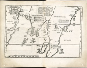
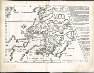
Date
Date range begin
–
Date range end
Current results range from
1482
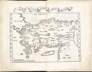
to
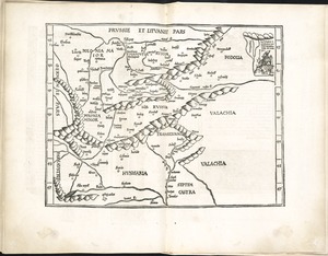
2023
View distribution
Creator
United States. Hydrographic Office
594
Boston Redevelopment Authority
194
O.H. Bailey & Co
148
Des Barres, Joseph F. W. (Joseph Frederick Wallet), 1722-1824
124
United States. Post Office Dept
120
Ptolemy, 2nd cent
100
Walling, Henry Francis, 1825-1888
94
Geological Survey (U.S.)
87
more
Creator
»
Format
Maps/Atlases
8,716
Manuscripts
215
Prints
56
Books
36
Objects/Artifacts
10
Drawings/Illustrations
8
Posters
4
Georeferenced
Yes
885
No
7,890
Collection
Norman B. Leventhal Map & Education Center Collection
8,576
Boston and New England Maps
2,361
Urban Maps
2,090
Maritime Charts and Atlases
1,081
American Revolutionary War-Era Maps
638
Boston Redevelopment Authority Collection
226
Massachusetts Real Estate Atlases
38
Mapping Boston Collection
20
more
Collection
»
Available to use
No known restrictions
8,553
Creative Commons license
69
Search Constraints
Sort by date (asc)
relevance
title
date (asc)
date (desc)
Number of results to display per page
20 per page
10
per page
20
per page
50
per page
100
per page
View results as:
grid view
map view
Search Results
61.
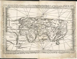
[World map]
62.
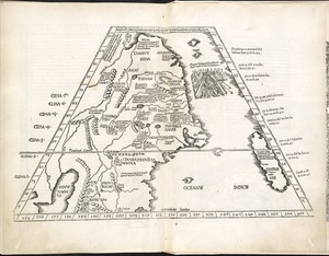
II Tabula moderna Aphrice
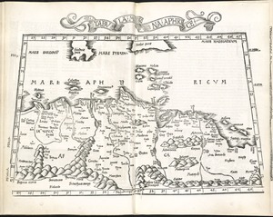
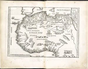
63.
Libyae interioris pars
64.
Oceani occidetalis seu terre nove tabula
65.
Orbis typus universalis iuxta hydrographorum traditionem exactissime depicta 1522 L.F
66.
Ta. here. Helve
67.
Ta. mo. Galliae
68.
Ta. mo. Germa
69.
Ta. moder. Bossinae, Serviae, Graeciae, et Sclavoniae
70.
Ta. no. Italiae
71.
Ta. superioris Indiae et Tartariae maioris
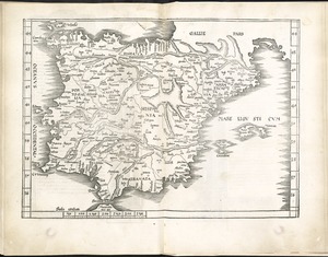
72.
Tab. mo. Hispan
73.
Tab. mo. primae partis Aphricae, et tabula secunde partis Aphricae
74.
Tab. mo. secundae partis Aphricae
75.
Tab. moderna Indiae
76.
Tab. nova Norbegiae et Gottiae
77.
Tabu. Asiae minoris
78.
Tabu. moderna Hungariae, Poloniae, Russiae, Prussiae et Valachiae
79.
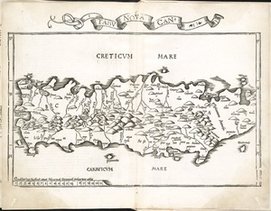
Tabu. nova Can
80.
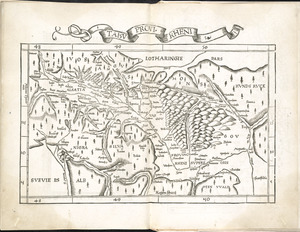
Tabu. provi. Rheni
‹ Prev
Next ›
1
2
3
4
5
6
7
8
…
438
439
![[World map]](https://bpldcassets.blob.core.windows.net/derivatives/images/commonwealth:st74cz00d/image_thumbnail_300.jpg)