Toggle navigation
LMEC Home
Exhibitions
Georeferencing
Tools for Teachers
Collections
My Favorites
Sign Up / Log In
Search
Search the map portal
Map Collection
Map Collection
Map Sets
Search
Search
Search for
Search In
All Fields
Creator
Title
Subject
Place
Search All Digital Collections
Advanced Search
8928 Results
My Search
Start Over
More Like
commonwealth:m900r861d
Remove constraint More Like: commonwealth:m900r861d
Filter your Search
Place
North and Central America
6,159
United States
5,075
Massachusetts
2,140
Europe
1,396
Suffolk (county)
1,274
Boston
1,247
Canada
449
Asia
438
more
Place
»
Topic
Boston (Mass.)--Maps
753
United States--Maps
282
Real property--Massachusetts--Boston--Maps
254
City planning--Massachusetts--Boston--Maps
192
Landowners--Massachusetts--Boston--Maps
170
Massachusetts--Maps
166
New England--Maps
104
North America--Maps--Early works to 1800
103
more
Topic
»
Date
Date range begin
–
Date range end
Current results range from
1482
to
2023
View distribution
Creator
United States. Hydrographic Office
595
Boston Redevelopment Authority
194
O.H. Bailey & Co
148
Des Barres, Joseph F. W. (Joseph Frederick Wallet), 1722-1824
124
United States. Post Office Dept
120
Ptolemy, 2nd cent
100
Walling, Henry Francis, 1825-1888
94
Geological Survey (U.S.)
87
more
Creator
»
Format
Maps/Atlases
8,868
Manuscripts
215
Prints
56
Books
36
Objects/Artifacts
10
Drawings/Illustrations
8
Posters
5
Georeferenced
Yes
885
No
8,043
Collection
Norman B. Leventhal Map & Education Center Collection
8,726
Boston and New England Maps
2,398
Urban Maps
2,181
Maritime Charts and Atlases
1,083
American Revolutionary War-Era Maps
638
Boston Redevelopment Authority Collection
229
Massachusetts Real Estate Atlases
38
Mapping Boston Collection
20
more
Collection
»
Available to use
No known restrictions
8,705
Creative Commons license
70
Search Constraints
Sort by relevance
relevance
title
date (asc)
date (desc)
Number of results to display per page
20 per page
10
per page
20
per page
50
per page
100
per page
View results as:
grid view
map view
Search Results
2041.
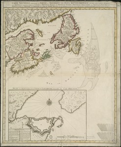
Carte nouvelle contenant la partie d'Amerique la plus septentrionale, ou sont exactement dêcrites les provinces suivantes...
2042.
Carte nouvelle de l'Amérique Angloise contenant tout ce que les Anglois possédent sur le continent de l'Amérique...
2043.
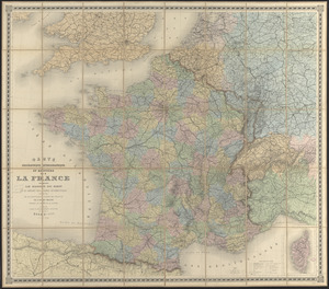
Carte orographique hydrographique et routière de la France : comprenant le bassin du rhin et la région des Alpes occidentales...
2044.
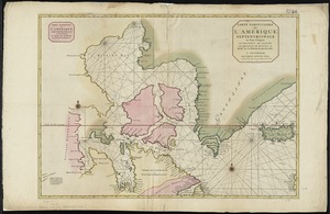
Carte particuliere de l'Amerique septentrionale ou sont compris le Destroit de Davids, le Destroit de Hudson, &c
2045.
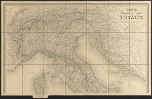
Carte physique & routière de l'Italie indiquant les distances d'un relais à l'autre et les dernières divisions politiques
2046.
Carte physique et routière de la France, de la Suisse, et de l'Italie septentrionale, indiquant aussi les relais, leurs...
2047.
Carte physique et routière du royaume des Pays-Bas : indiquant les canaux de différentes classes, les relais de poste et...
2048.
Carte physique, politique, statistique et comparative de l'Europe, dediée à S.E. le Lieutt. Génl. Comte Guilleminot pair de...
2049.
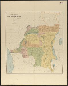
Carte politique de l'État Indépendant du Congo
2050.
Carte pour servir à l'itinéraire pittoresque du fleuve Hudson et des parties latérales de l'Amerique du Nord
2051.
Carte réduite de l'isle de Cube
2052.
Carte réduite des costes occidentale d'Afrique : seconde feuille, depuis le Cap Bojador jusqu' a la Riviere de Sierra Leona,...
2053.
Carte reduite des costes occidentales d'Afrique : seconde feuille depuis le Cap Bojador jusqu'a la Riviere de Sierra Léona
2054.
Carte routière de la France, dressée spécialement pour tous les guides du voyageur
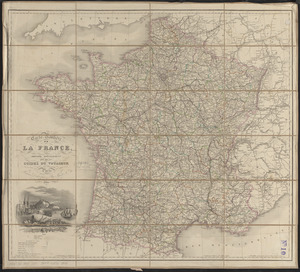
2055.
Carte routière des environs de Paris, divisés par departemens, arrondissemens communaux et cantons
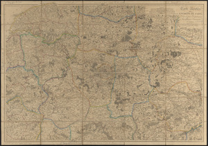
2056.
Carte scolaire de la Suisse
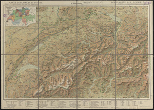
2057.
Carte Taride - routière no. 6 - Lorraine, Vosges
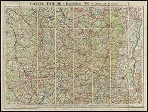
2058.
Carte topographique du Diocese de Sens divisé en ses cinq Archidiaconés et ses douze Doyennés
2059.
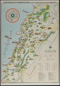
Carte touristique du Liban = Kharitat Lubnan almusawarat lilsiyaha
2060.
Carte von dem Hafen und der Stadt Boston : mit den umliegenden Gegenden und der Lägern sowohl der Americaner als auch des...
‹ Prev
Next ›
1
2
…
99
100
101
102
103
104
105
106
107
…
446
447