Toggle navigation
LMEC Home
Exhibitions
Georeferencing
Tools for Teachers
Collections
My Favorites
Sign Up / Log In
Search
Search the map portal
Map Collection
Map Collection
Map Sets
Search
Search
Search for
Search In
All Fields
Creator
Title
Subject
Place
Search All Digital Collections
Advanced Search
8932 Results
My Search
Start Over
More Like
commonwealth:m900r8027
Remove constraint More Like: commonwealth:m900r8027
Filter your Search
Place
North and Central America
6,163
United States
5,079
Massachusetts
2,145
Europe
1,396
Suffolk (county)
1,278
Boston
1,251
Canada
449
Asia
438
more
Place
»
Topic
Boston (Mass.)--Maps
753
United States--Maps
282
Real property--Massachusetts--Boston--Maps
254
City planning--Massachusetts--Boston--Maps
197
Landowners--Massachusetts--Boston--Maps
170
Massachusetts--Maps
166
Urban renewal--Massachusetts--Boston--Maps
107
New England--Maps
104
more
Topic
»
Date
Date range begin
–
Date range end
Current results range from
1482
to
2023
View distribution
Creator
United States. Hydrographic Office
595
Boston Redevelopment Authority
202
O.H. Bailey & Co
148
Des Barres, Joseph F. W. (Joseph Frederick Wallet), 1722-1824
124
United States. Post Office Dept
120
Ptolemy, 2nd cent
100
Walling, Henry Francis, 1825-1888
94
Geological Survey (U.S.)
87
more
Creator
»
Format
Maps/Atlases
8,872
Manuscripts
215
Prints
56
Books
36
Objects/Artifacts
10
Drawings/Illustrations
8
Posters
5
Georeferenced
Yes
885
No
8,047
Collection
Norman B. Leventhal Map & Education Center Collection
8,725
Boston and New England Maps
2,402
Urban Maps
2,186
Maritime Charts and Atlases
1,083
American Revolutionary War-Era Maps
638
Boston Redevelopment Authority Collection
234
Massachusetts Real Estate Atlases
38
Mapping Boston Collection
20
more
Collection
»
Available to use
No known restrictions
8,709
Creative Commons license
70
Search Constraints
Sort by relevance
relevance
title
date (asc)
date (desc)
Number of results to display per page
20 per page
10
per page
20
per page
50
per page
100
per page
View results as:
grid view
map view
Search Results
2081.
Centennial map of Concord, 1775-1875
2082.
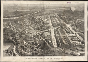
The Centennial-balloon view of the grounds
2083.
Center of New York, first city of the world
2084.
Central & Eastern Europe (nationalities)
2085.
Central Africa
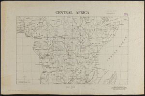
2086.
Central Africa
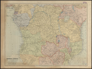
2087.
Central Africa
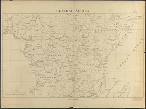
2088.
Central America, British Honduras, Belize Harbor : from a British Survey in 1829 & 30
2089.
Central America, north coast of Panama, Port Chagres : from a British survey in 1829 & 1840, and a survey in 1875 by the...
2090.
Central America, southern shore of the Caribbean Sea, Chiriqui Lagoon
2091.
Central America, west coast of Costa Rica, Ballena Bay (Gulf of Nicoya) : from a survey in 1885 by the officers of the U.S.S....
2092.
Central America, west coast of Costa Rica, El Rincon Harbor (Gulf of Dulce) : from a survey in 1885 by the officers of the...
2093.
Central America, west coast of Costa Rica, Gulf of Dulce
2094.
Central America, west coast of Costa Rica, Gulf of Nicoya
2095.
Central America, west coast of Costa Rica, Juanilla Bay : from a survey in 1885 by the officers of the U.S.S. Ranger, Commander...
2096.
Central America, west coast of Costa Rica, Murcielago Bay : from a survey in 1885 by the officers of the U.S.S. Ranger,...
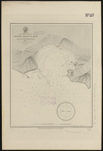
2097.
Central America, west coast of Costa Rica, Piedra Blanca Bay : from a survey in 1885 by the officers of the U.S.S. Ranger,...
2098.
Central America, west coast of Costa Rica, Port Culebra
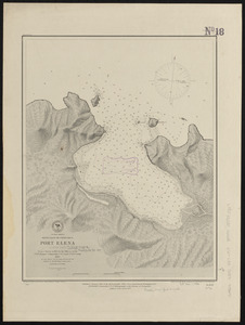
2099.
Central America, west coast of Costa Rica, Port Elena (Elena Bay) : from a survey in 1885 by the officers of the U.S.S. Ranger,...
2100.
Central America, west coast of Costa Rica, Potrero and Braxilito Bays : from a survey in 1885 by the officers of the U.S.S....
‹ Prev
Next ›
1
2
…
101
102
103
104
105
106
107
108
109
…
446
447