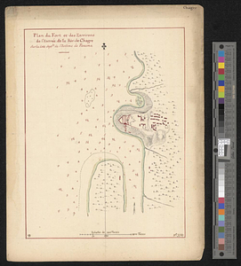
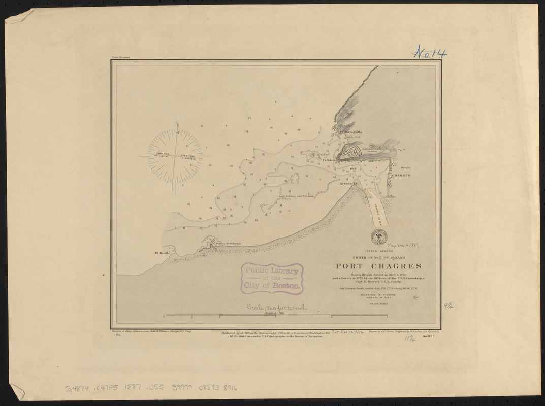
Central America, north coast of Panama, Port Chagres : from a British survey in 1829 & 1840, and a survey in 1875 by the officers of the U.S.S. Canandaigua, Capt. E. Barrett, U.S.N., comdg
Item Information
- Title:
- Central America, north coast of Panama, Port Chagres : from a British survey in 1829 & 1840, and a survey in 1875 by the officers of the U.S.S. Canandaigua, Capt. E. Barrett, U.S.N., comdg
- Title (alt.):
-
Port Chagres
- Issuing body:
- United States. Hydrographic Office
- Engraver:
- Gasch, H. E. (Herman E.)
- Draftsman:
- Pohlers, G. F. (George F.)
- Engraver:
- Sefton, W. P. (William P.)
- Name on Item:
-
drawn by G.F. Pohlers ; engraved by W.P. Sefton and H.E. Gasch
- Date:
-
1887
- Format:
-
Maps/Atlases
- Location:
-
Boston Public Library
Norman B. Leventhal Map & Education Center - Collection (local):
-
Norman B. Leventhal Map & Education Center Collection
- Subjects:
-
Harbors--Panama--Chagres--Maps
Nautical charts--Panama--Chagres
Chagres (Panama)--Maps
- Places:
-
PanamaColón (province)Nuevo Chagres
- Extent:
- 1 map ; 24 x 29 cm
- Terms of Use:
-
No known copyright restrictions.
No known restrictions on use.
- Publisher:
-
Washington, D.C. :
Hydrographic Office
- Scale:
-
Scale approximately 1:9,100
- Language:
-
English
- Notes:
-
Relief shown by shading, form lines and spot heights. Depths shown by soundings and isolines.
- Identifier:
-
06_01_015616
- Call #:
-
G9096.P5 svar .U55
- Barcode:
-
39999085938916