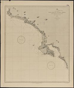
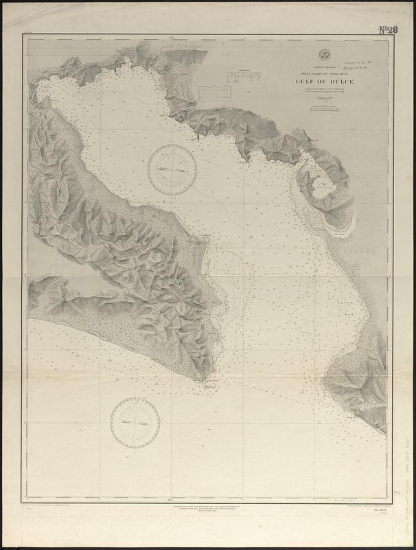
Central America, west coast of Costa Rica, Gulf of Dulce
Item Information
- Title:
- Central America, west coast of Costa Rica, Gulf of Dulce
- Issuing body:
- United States. Hydrographic Office
- Draftsman:
- Klakring, A. (Alfred)
- Engraver:
- Kübel, S. J. (Stephen J.)
- Engraver:
- Ruebsam, A. C. (Adolph C.)
- Name on Item:
-
surveyed by the officers of the U.S.S. Ranger in 1885, Commander C.E. Clark, U.S.N., comdg. ; drawn by A. Klakring ; engraved by S.J. Kübel and A.C. Ruebsam
- Date:
-
[1888]
- Format:
-
Maps/Atlases
- Genre:
-
Nautical charts
- Location:
-
Boston Public Library
Norman B. Leventhal Map & Education Center - Collection (local):
-
Norman B. Leventhal Map & Education Center Collection
- Subjects:
-
Dulce, Gulf of (Costa Rica)--Maps
Nautical charts--Costa Rica--Dulce, Gulf of
- Places:
-
Costa RicaPuntarenas (province)Dulce, Golfo (gulf)
- Extent:
- 1 map ; 78 x 62 cm
- Terms of Use:
-
No known copyright restrictions.
No known restrictions on use.
- Publisher:
-
Washington, D.C. :
Hydrographic Office
- Edition:
- Edition of August 1888
- Scale:
-
Scale approximately 1:73,300
- Language:
-
English
- Notes:
-
Relief shown by contours, shading and spot heights. Depths shown by soundings and isolines.
- Notes (date):
-
This date is inferred.
- Identifier:
-
06_01_017399
- Call #:
-
G9096.P5 svar .U55 no. 1037
- Barcode:
-
39999085959045