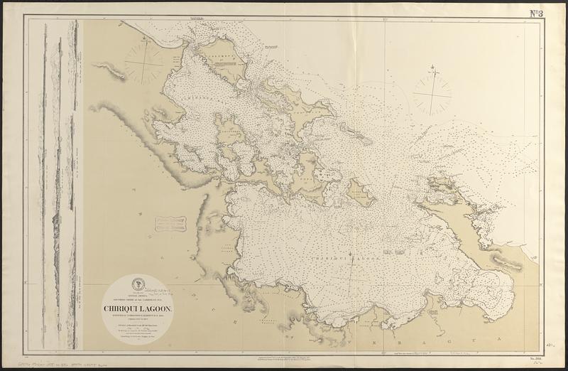
Central America, southern shore of the Caribbean Sea, Chiriqui Lagoon
Item Information
- Title:
- Central America, southern shore of the Caribbean Sea, Chiriqui Lagoon
- Issuing body:
- United States. Hydrographic Office
- Surveyor:
- Barnett, E. (Edward), 1799-1879
- Name on Item:
-
surveyed by Commander E. Barnett R.N. 1839, corrected to 1872
- Date:
-
1872
- Format:
-
Maps/Atlases
- Genre:
-
Nautical charts
- Location:
-
Boston Public Library
Norman B. Leventhal Map & Education Center - Collection (local):
-
Norman B. Leventhal Map & Education Center Collection
- Subjects:
-
Chiriquí Lagoon (Panama)--Maps
Almirante Bay (Panama)--Maps
Bocas del Toro Archipelago--Maps
Nautical charts--Panama--Chiriquí Lagoon
Nautical charts--Panama--Almirante Bay
- Places:
-
PanamaChiriquí, Laguna de (lagoon)
PanamaBocas del Toro (province)Almirante, Bahía (bay)
PanamaBocas del Toro (province)Bocas del Toro, Archipiélago de (archipelago)
- Extent:
- 1 map ; 60 x 92 cm
- Terms of Use:
-
No known copyright restrictions.
No known restrictions on use.
- Publisher:
-
Washington, D.C. :
Hydrographic Office
- Scale:
-
Scale approximately 1:108,000
- Language:
-
English
- Notes:
-
Relief shown by hachures and spot heights. Depths shown by soundings and isolines.
Includes 5 coastal views.
- Identifier:
-
06_01_017071
- Call #:
-
G9096.P5 svar .U55 no. 386
- Barcode:
-
39999085953600


