Search Constraints
Search Results
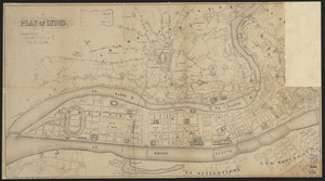
6641. Plan of Lyons

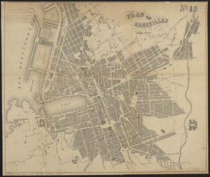
6644. Plan of Marseilles
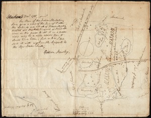
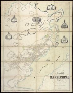
6645. Plan of Mashpee


6648. Plan of Milton Cemetery

6649. Plan of modern Rome

6650. Plan of modern Rome

6651. Plan of Mount Auburn