Toggle navigation
LMEC Home
Exhibitions
Georeferencing
Tools for Teachers
Collections
My Favorites
Sign Up / Log In
Search
Search the map portal
Map Collection
Map Collection
Map Sets
Search
Search
Search for
Search In
All Fields
Creator
Title
Subject
Place
Search All Digital Collections
Advanced Search
8892 Results
My Search
Start Over
More Like
commonwealth:m900r689p
Remove constraint More Like: commonwealth:m900r689p
Filter your Search
Place
North and Central America
6,136
United States
5,054
Massachusetts
2,151
Europe
1,388
Suffolk (county)
1,288
Boston
1,261
Canada
449
Asia
436
more
Place
»
Topic
Boston (Mass.)--Maps
747
United States--Maps
279
Real property--Massachusetts--Boston--Maps
254
City planning--Massachusetts--Boston--Maps
213
Landowners--Massachusetts--Boston--Maps
170
Massachusetts--Maps
165
New England--Maps
103
North America--Maps--Early works to 1800
103
more
Topic
»
Date
Date range begin
–
Date range end
Current results range from
1482
to
2023
View distribution
Creator
United States. Hydrographic Office
595
Boston Redevelopment Authority
220
O.H. Bailey & Co
148
Des Barres, Joseph F. W. (Joseph Frederick Wallet), 1722-1824
124
United States. Post Office Dept
120
Ptolemy, 2nd cent
100
Walling, Henry Francis, 1825-1888
94
Geological Survey (U.S.)
87
more
Creator
»
Format
Maps/Atlases
8,833
Manuscripts
215
Prints
56
Books
36
Objects/Artifacts
10
Drawings/Illustrations
8
Posters
4
Georeferenced
Yes
885
No
8,007
Collection
Norman B. Leventhal Map & Education Center Collection
8,668
Boston and New England Maps
2,405
Urban Maps
2,165
Maritime Charts and Atlases
1,083
American Revolutionary War-Era Maps
638
Boston Redevelopment Authority Collection
251
Massachusetts Real Estate Atlases
38
Mapping Boston Collection
20
more
Collection
»
Available to use
No known restrictions
8,669
Creative Commons license
70
Search Constraints
Sort by relevance
relevance
title
date (asc)
date (desc)
Number of results to display per page
20 per page
10
per page
20
per page
50
per page
100
per page
View results as:
grid view
map view
Search Results
3281.
Great Lew Chew and its dependencies
3282.
The great north woods tourist and fishing district of Wisconsin : ideal location for summer homes
3283.
Great Northern Railway and proprietary lines
3284.
The great overflow : inundated districts of the Mississippi Valey [sic]
3285.
Greater Macon
3286.
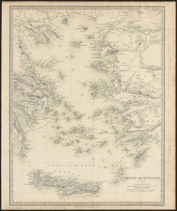
Grecian Archipelago (ancient)
3287.
The Grecian archipelago, from the latest surveys
3288.
Greece, Archipelago and part of Anadoli
3289.
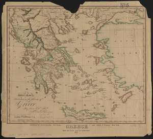
Greece from the latest and best authorities
3290.
Greece with part of Anatolia = La Graecia con parte della Natolia
3291.
Green County, Wis.
3292.
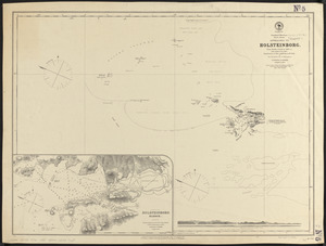
Greenland, west coast, Davis Strait, approaches to Holsteinborg : from British surveys of 1853-4, with additions to 1875
3293.
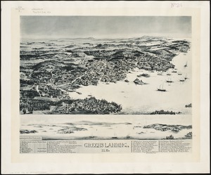
Greens Landing, Me
3294.
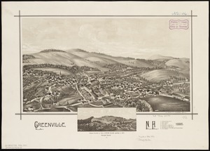
Greenville, N.H : 1886
3295.
Griechenland zur zeit des Peloponnesischen Krieges, nach den glaubwürdigsten geschichtsschreibern
3296.
Grondtekening van de stad en forten van St. Iago = Plan de la ville et des forts de St. Yago
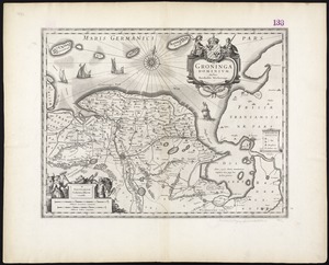
3297.
Groninga Dominium
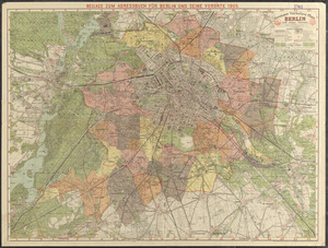
3298.
Grosser verkehrs-plan Berlin und seine vororte
3299.
Groton, Mass : 1886
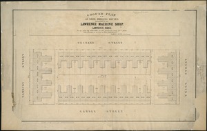
3300.
Ground plan of 50 brick dwelling houses, belonging to the Lawrence Machine Shop, Lawrence, Mass : to be sold by auction on the...
‹ Prev
Next ›
1
2
…
161
162
163
164
165
166
167
168
169
…
444
445