Greenland, west coast, Davis Strait, approaches to Holsteinborg : from British surveys of 1853-4, with additions to 1875
Item Information
- Title:
- Greenland, west coast, Davis Strait, approaches to Holsteinborg : from British surveys of 1853-4, with additions to 1875
- Title (alt.):
-
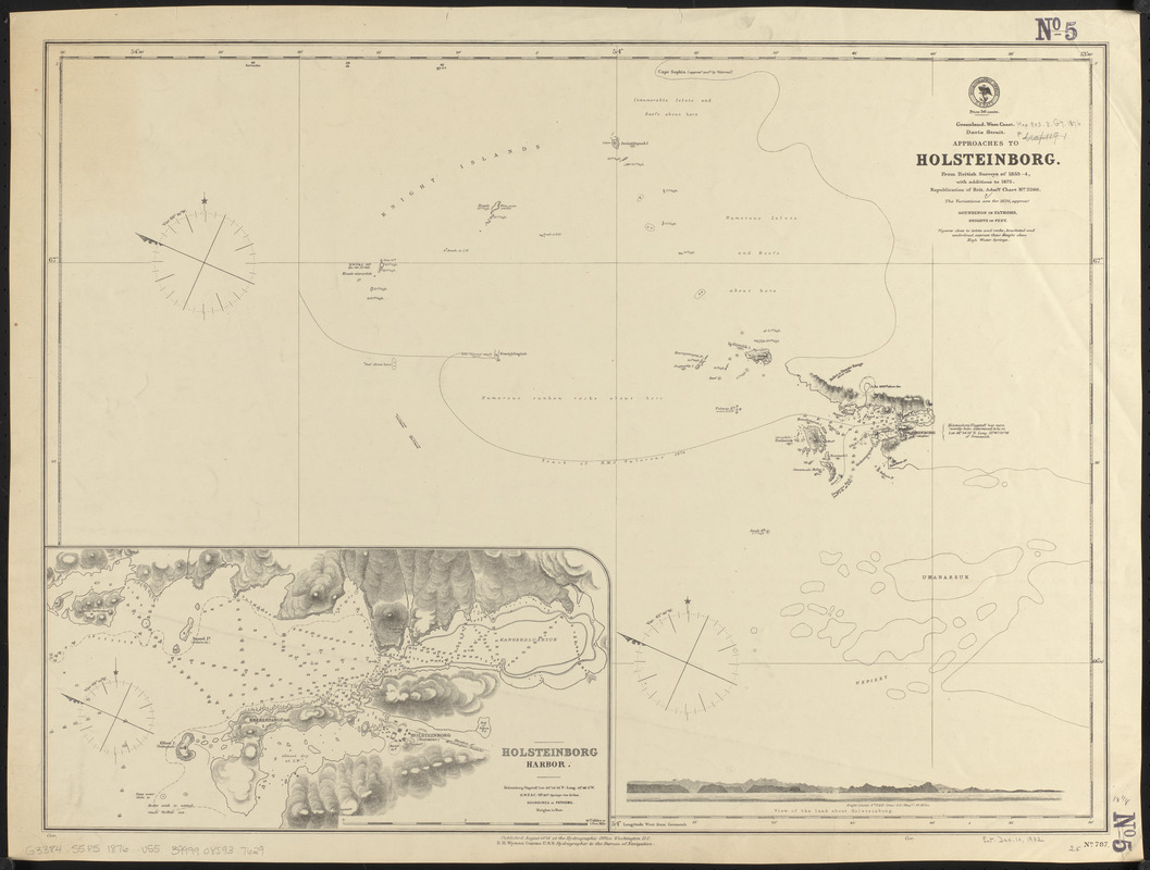
Approaches to Holsteinborg
- Issuing body:
- United States. Hydrographic Office
- Date:
-
1876
- Format:
-
Maps/Atlases
- Location:
-
Boston Public Library
Norman B. Leventhal Map & Education Center - Collection (local):
-
Norman B. Leventhal Map & Education Center Collection
- Subjects:
-
Nautical charts--Greenland--Sisimiut
Sisimiut (Greenland)--Maps
- Places:
-
Greenland (territory)Holsteinsborg
- Extent:
- 1 map ; 47 x 64 cm
- Terms of Use:
-
No known copyright restrictions.
No known restrictions on use.
- Publisher:
-
Washington, D.C. :
Hydrographic Office
- Scale:
-
Scale approximately 1:76,000
- Language:
-
English
- Notes:
-
Relief shown by hachures and spot heights. Depths shown by soundings.
Inset: Holsteinborg Harbor.
Includes View of the land about Holsteinborg.
"Republication of Brit. admty. chart no. 2266."
- Identifier:
-
06_01_015518
- Call #:
-
G9096.P5 svar .U55
- Barcode:
-
39999085937629


