Toggle navigation
LMEC Home
Exhibitions
Georeferencing
Tools for Teachers
Collections
My Favorites
Sign Up / Log In
Search
Search the map portal
Map Collection
Map Collection
Map Sets
Search
Search
Search for
Search In
All Fields
Creator
Title
Subject
Place
Search All Digital Collections
Advanced Search
8652 Results
My Search
Start Over
More Like
commonwealth:kk91fq60v
Remove constraint More Like: commonwealth:kk91fq60v
Date facet yearly ssim
1845
to
1849
Remove constraint Date facet yearly ssim: <span class='from'>1845</span> to <span class='to'>1849</span>
Filter your Search
Place
North and Central America
5,894
United States
4,810
Massachusetts
2,065
Europe
1,388
Suffolk (county)
1,040
Boston
1,013
Canada
451
Asia
436
more
Place
»
Topic
Boston (Mass.)--Maps
581
United States--Maps
279
Real property--Massachusetts--Boston--Maps
175
Massachusetts--Maps
161
Landowners--Massachusetts--Boston--Maps
133
North America--Maps--Early works to 1800
103
New England--Maps
101
Europe--Maps
79
more
Topic
»
Date
Date range begin
–
Date range end
Current results range from
1482
to
2023
View distribution
Creator
United States. Hydrographic Office
595
O.H. Bailey & Co
148
Des Barres, Joseph F. W. (Joseph Frederick Wallet), 1722-1824
124
United States. Post Office Dept
120
Ptolemy, 2nd cent
100
Walling, Henry Francis, 1825-1888
94
Geological Survey (U.S.)
86
Jefferys, Thomas, -1771
86
more
Creator
»
Format
Maps/Atlases
8,593
Manuscripts
215
Prints
56
Books
36
Objects/Artifacts
10
Drawings/Illustrations
8
Posters
4
Georeferenced
Yes
869
No
7,783
Collection
Norman B. Leventhal Map & Education Center Collection
8,644
Boston and New England Maps
2,221
Urban Maps
1,985
Maritime Charts and Atlases
1,087
American Revolutionary War-Era Maps
624
Boston Redevelopment Authority Collection
87
Mapping Boston Collection
6
Richard H. Brown Revolutionary War Map Collection at Mount Vernon
5
more
Collection
»
Available to use
No known restrictions
8,496
Creative Commons license
59
Search Constraints
Sort by relevance
relevance
title
date (asc)
date (desc)
Number of results to display per page
20 per page
10
per page
20
per page
50
per page
100
per page
View results as:
grid view
map view
Search Results
1881.
The Daily Telegraph war map no. 21 : of the Belgian and British fronts
1882.
The Daily telegraph war map no. 22
1883.
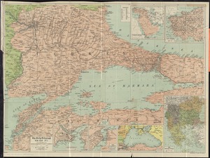
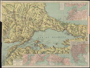
The Daily telegraph war map no. 23
1884.
The Daily Telegraph war map no. 24 : of the British front
1885.
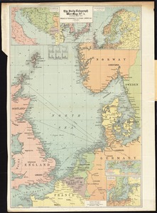
The Daily Telegraph war map no. 3
1886.
The Daily Telegraph war map no. 7
1887.
The Daily Telegraph war map no. 8
1888.
The Daily Telegraph war map no. 9
1889.
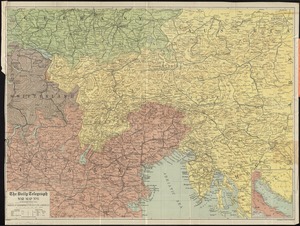
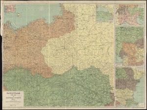
The Daily Telegraph war map of eastern Europe (no. 5)
1890.
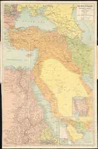
The Daily Telegraph war map of Egypt and the Near East (No. 6)
1891.
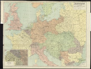
The Daily Telegraph war map of Europe (no. 1)
1892.
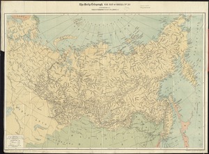
The Daily Telegraph war map of Siberia (no. 28)
1893.
Daily weather map : Tuesday, September 29, 1959
1894.
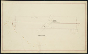
Dalton
1895.
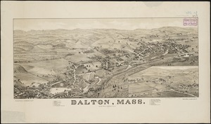
Dalton, Mass
1896.
Danbury, Conn
1897.
Dane County, Wis.
1898.
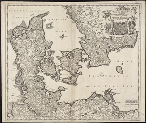
Dania regnum in quo sunt Ducatus Holsatia et Slesvicum Insulae Danicae et Provinciae Iutia, Scania, Blekingia et Hallandia
1899.
Daniae regni typum potentissimo Invictissimoque D. Christiano, Daniae, Norvegiae, Gotthorum Vandalorum Regi lubens offert
1900.
Danube to India
‹ Prev
Next ›
1
2
…
91
92
93
94
95
96
97
98
99
…
432
433