Toggle navigation
LMEC Home
Exhibitions
Georeferencing
Tools for Teachers
Collections
My Favorites
Sign Up / Log In
Search
Search the map portal
Map Collection
Map Collection
Map Sets
Search
Search
Search for
Search In
All Fields
Creator
Title
Subject
Place
Search All Digital Collections
Advanced Search
8563 Results
My Search
Start Over
More Like
commonwealth:kk91fq60v
Remove constraint More Like: commonwealth:kk91fq60v
Date facet yearly ssim
1849
Remove constraint Date facet yearly ssim: <span class='single'>1849</span>
Filter your Search
Place
North and Central America
5,856
United States
4,776
Massachusetts
2,052
Europe
1,359
Suffolk (county)
1,034
Boston
1,007
Canada
450
Asia
422
more
Place
»
Topic
Boston (Mass.)--Maps
577
United States--Maps
273
Real property--Massachusetts--Boston--Maps
174
Massachusetts--Maps
160
Landowners--Massachusetts--Boston--Maps
132
North America--Maps--Early works to 1800
103
New England--Maps
99
Europe--Maps
78
more
Topic
»
Date
Date range begin
–
Date range end
Current results range from
1482
to
2023
View distribution
Creator
United States. Hydrographic Office
594
O.H. Bailey & Co
148
Des Barres, Joseph F. W. (Joseph Frederick Wallet), 1722-1824
124
United States. Post Office Dept
120
Ptolemy, 2nd cent
100
Walling, Henry Francis, 1825-1888
94
Geological Survey (U.S.)
86
Jefferys, Thomas, -1771
86
more
Creator
»
Format
Maps/Atlases
8,504
Manuscripts
215
Prints
56
Books
36
Objects/Artifacts
10
Drawings/Illustrations
8
Posters
4
Georeferenced
Yes
869
No
7,694
Collection
Norman B. Leventhal Map & Education Center Collection
8,555
Boston and New England Maps
2,205
Urban Maps
1,936
Maritime Charts and Atlases
1,085
American Revolutionary War-Era Maps
624
Boston Redevelopment Authority Collection
87
Mapping Boston Collection
6
Richard H. Brown Revolutionary War Map Collection at Mount Vernon
5
more
Collection
»
Available to use
No known restrictions
8,408
Creative Commons license
58
Search Constraints
Sort by relevance
relevance
title
date (asc)
date (desc)
Number of results to display per page
20 per page
10
per page
20
per page
50
per page
100
per page
View results as:
grid view
map view
Search Results
221.
Americae sive Indiae Occidentalis : tabula generalis
222.
Americae tam septentrionalis quam meridionalis in mappa geographica delineatio
223.
American explorations in the West, 1803-1852
224.
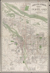
American Map and Reproducing Company's map of Portland and vicinity
225.
American Radiator Company trade card
226.
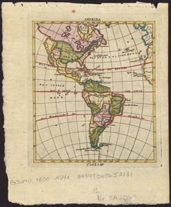
Amerika
227.
Amerikanisch-Spanischer kriegsschauplatz
228.
L'Amérique
229.
L'Amérique divisée en ses principaux états
230.
L'Amerique divisée par grand etats
231.
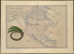
Amérique du Nord
232.
Amérique du Sud
233.
L'Amerique Meridionale : dressée sur les observations de Mrs. de L'Academie Royale des Sciences & quelques autres, & sur les...
234.
L'Amerique meridionale
235.
Amérique méridionale : publiée sous les auspices de Monseigneur le Duc d'Orleans prémier prince du Sang
236.
L'Amerique Meridionale divisée en ses principales parties
237.
Amerique meridionale divisée en ses principales parties ou sont distingués les vns des autres les estats suivant qu'ils...
238.
L'Amerique meridionale divisée en ses principaux etats
239.
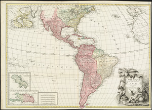
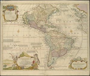
L'Amerique, meridionale, et septentrionale
240.
Amérique Septentrionale
‹ Prev
Next ›
1
2
…
8
9
10
11
12
13
14
15
16
…
428
429