Toggle navigation
LMEC Home
Exhibitions
Georeferencing
Tools for Teachers
Collections
My Favorites
Sign Up / Log In
Search
Search the map portal
Map Collection
Map Collection
Map Sets
Search
Search
Search for
Search In
All Fields
Creator
Title
Subject
Place
Search All Digital Collections
Advanced Search
9012 Results
My Search
Start Over
More Like
commonwealth:jw82df15t
Remove constraint More Like: commonwealth:jw82df15t
Filter your Search
Place
North and Central America
6,242
United States
5,158
Massachusetts
2,163
Europe
1,396
Suffolk (county)
1,332
Boston
1,305
Canada
450
Asia
438
more
Place
»
Topic
Boston (Mass.)--Maps
752
United States--Maps
282
City planning--Massachusetts--Boston--Maps
252
Real property--Massachusetts--Boston--Maps
230
Landowners--Massachusetts--Boston--Maps
169
Massachusetts--Maps
166
Urban renewal--Massachusetts--Boston--Maps
155
Buildings--Massachusetts--Boston--Maps
125
more
Topic
»
Date
Date range begin
–
Date range end
Current results range from
1482
to
2023
View distribution
Creator
United States. Hydrographic Office
595
Boston Redevelopment Authority
253
O.H. Bailey & Co
148
Des Barres, Joseph F. W. (Joseph Frederick Wallet), 1722-1824
124
United States. Post Office Dept
120
Ptolemy, 2nd cent
100
Walling, Henry Francis, 1825-1888
94
Geological Survey (U.S.)
87
more
Creator
»
Format
Maps/Atlases
8,952
Manuscripts
218
Prints
56
Books
36
Objects/Artifacts
10
Drawings/Illustrations
8
Posters
5
Georeferenced
Yes
885
No
8,127
Collection
Norman B. Leventhal Map & Education Center Collection
8,724
Boston and New England Maps
2,457
Urban Maps
2,240
Maritime Charts and Atlases
1,083
American Revolutionary War-Era Maps
662
Boston Redevelopment Authority Collection
289
Massachusetts Real Estate Atlases
38
William L. Clements Library Collection
27
more
Collection
»
Available to use
No known restrictions
8,767
Creative Commons license
71
Search Constraints
Sort by relevance
relevance
title
date (asc)
date (desc)
Number of results to display per page
20 per page
10
per page
20
per page
50
per page
100
per page
View results as:
grid view
map view
Search Results
161.
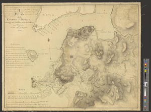
A map of the environs of Brooklyn : surveyed by order of his excellency General Sir Henry Clinton K.B., commander in chief of...
162.
Part of the city of New York, 27th Augt: 1778 [and] part of Long Island
163.
Plan des environs de Brookland &c a Bettford : levé à coup d'oeil
164.
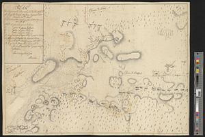
A plan of the environs of Brooklyn showing the position of the rebel lines and defences on the 27th of August 1776
165.
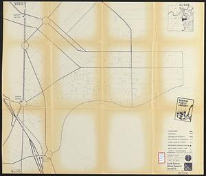
South End renewal area : locality map
166.
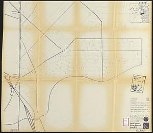
Back Bay urban renewal area r-47 : community facilities & circulation plan
167.
Charlestown urban renewal area r-55 : right of way adjustments
168.
Developer's kit : South Cove urban renewal area, project no. Mass. r-92, parcel r-7, residential use
169.
Dorchester improvement area, map no. 2 - south east
170.
Jamaica Plain urban renewal area r-49 : proposed circulation
171.
Jamaica Plain urban renewal area r-49 : existing circulation
172.
North Harvard project area : location map
173.
Proposed land use plan and circulation system
174.
Roxbury - N. Dorchester G.N.R.P. : preliminary land use plan
175.
Roxbury - N. Dorchester G.N.R.P. : preliminary circulation plan
176.
Roxbury-N. Dorchester G.N.R.P. r-50 : existing circulation
177.
Roxbury-N. Dorchester G.N.R.P. r-50 : proposed circulation
178.
Shawmut Avenue
179.
South Boston urban renewal area r-51 : proposed circulation
180.
South Boston urban renewal area r-51 : existing circulation
‹ Prev
Next ›
1
2
…
5
6
7
8
9
10
11
12
13
…
450
451

![Part of the city of New York, 27th Augt: 1778 [and] part of Long Island](https://bpldcassets.blob.core.windows.net/derivatives/metadata/commonwealth-oai:6d573t30q/image_thumbnail_300.jpg)