Toggle navigation
LMEC Home
Exhibitions
Georeferencing
Tools for Teachers
Collections
My Favorites
Sign Up / Log In
Search
Search the map portal
Map Collection
Map Collection
Map Sets
Search
Search
Search for
Search In
All Fields
Creator
Title
Subject
Place
Search All Digital Collections
Advanced Search
8789 Results
My Search
Start Over
More Like
commonwealth:js956k718
Remove constraint More Like: commonwealth:js956k718
Filter your Search
Place
North and Central America
6,020
United States
4,938
Massachusetts
2,116
Europe
1,396
Suffolk (county)
1,140
Boston
1,113
Canada
449
Asia
438
more
Place
»
Topic
Boston (Mass.)--Maps
595
United States--Maps
282
Real property--Massachusetts--Boston--Maps
220
Landowners--Massachusetts--Boston--Maps
169
Massachusetts--Maps
162
City planning--Massachusetts--Boston--Maps
125
North America--Maps--Early works to 1800
103
New England--Maps
102
more
Topic
»
Date
Date range begin
–
Date range end
Current results range from
1482
to
2023
View distribution
Creator
United States. Hydrographic Office
595
O.H. Bailey & Co
148
Boston Redevelopment Authority
124
Des Barres, Joseph F. W. (Joseph Frederick Wallet), 1722-1824
123
United States. Post Office Dept
120
Ptolemy, 2nd cent
100
Walling, Henry Francis, 1825-1888
94
Geological Survey (U.S.)
86
more
Creator
»
Format
Maps/Atlases
8,729
Manuscripts
215
Prints
56
Books
36
Objects/Artifacts
10
Drawings/Illustrations
8
Posters
5
Georeferenced
Yes
869
No
7,920
Collection
Norman B. Leventhal Map & Education Center Collection
8,695
Boston and New England Maps
2,292
Urban Maps
2,082
Maritime Charts and Atlases
1,083
American Revolutionary War-Era Maps
616
Boston Redevelopment Authority Collection
146
Massachusetts Real Estate Atlases
35
Applied Geographics, Inc. Records
1
Available to use
No known restrictions
8,612
Creative Commons license
47
Search Constraints
Sort by relevance
relevance
title
date (asc)
date (desc)
Number of results to display per page
20 per page
10
per page
20
per page
50
per page
100
per page
View results as:
grid view
map view
Search Results
7941.
Tabula VII Asiae
7942.
Tabula VII Europae
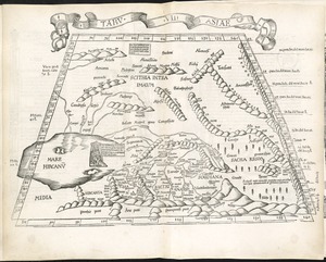
7943.
Tabula VIII Asiae
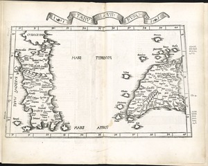
7944.
Tabula VIII Europae
7945.
Tabula X Asiae
7946.
Tabula X Europae
7947.
Tabula XI Asiae
7948.
Tabula XII Asiae
7949.
Tabulae maximae quibus illustrantur terrae veterum in usum scholarum
7950.
Tabulae maximae quibus illustrantur terrae veterum in usum scholarum
7951.
Tabulae maximae quibus illustrantur terrae veterum in usum scholarum
7952.
Tabulae maximae quibus illustrantur terrae veterum in usum scholarum
7953.
Tackabury's map of United States
7954.
Tactical pilotage chart, TPC
7955.
Taiara or King's Island ; Henuake, Honden or Dog Id. ; Penrhyns Island ; Two groups
7956.
Taiara or King's Island ; Henuake, Honden or Dog Id. ; Penrhyns Island ; Two groups
7957.
Tanger
7958.
Taputeouea or Drummond's Island, Kingsmill Group ; Peacock's anchorage at Drummond's Island, Kingsmill Group
7959.
Taputeouea or Drummond's Island, Kingsmill Group ; Peacock's anchorage at Drummond's Island, Kingsmill Group
7960.
Taunton
‹ Prev
Next ›
1
2
…
394
395
396
397
398
399
400
401
402
…
439
440