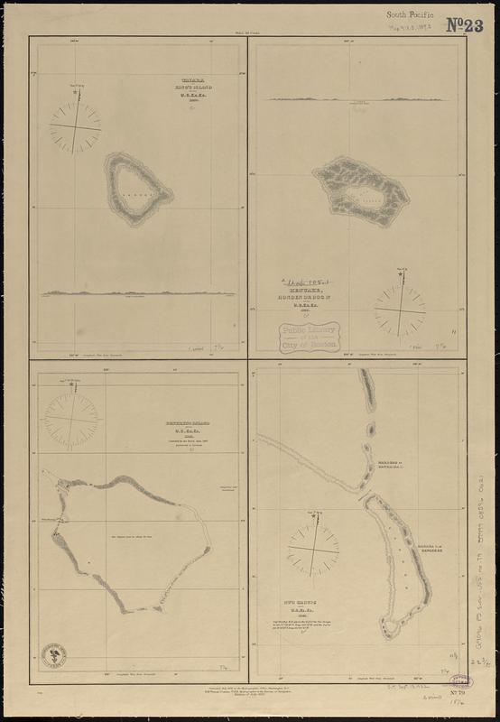
Taiara or King's Island ; Henuake, Honden or Dog Id. ; Penrhyns Island ; Two groups
Item Information
- Title:
- Taiara or King's Island ; Henuake, Honden or Dog Id. ; Penrhyns Island ; Two groups
- Issuing body:
- United States. Hydrographic Office
- Engraver:
- Sherman & Smith
- Cartographer:
- United States Exploring Expedition (1838-1842)
- Name on Item:
-
by the U.S. Ex. Ex. ; eng. by Sherman & Smith
- Date:
-
1887
- Format:
-
Maps/Atlases
- Genre:
-
Nautical charts
- Location:
-
Boston Public Library
Norman B. Leventhal Map & Education Center - Collection (local):
-
Norman B. Leventhal Map & Education Center Collection
- Subjects:
-
Taiaro (French Polynesia)--Maps
Pukapuka (French Polynesia)--Maps
Penrhyn (Cook Islands)--Maps
Marokau (French Polynesia)--Maps
Ravahere (French Polynesia)--Maps
Nautical charts--French Polynesia--Taiaro
Nautical charts--French Polynesia--Pukapuka
Nautical charts--Cook Islands--Penrhyn
Nautical charts--French Polynesia--Marokau
Nautical charts--French Polynesia--Ravahere
United States Exploring Expedition (1838-1842)
- Places:
-
Cook Islands (territory)Penrhyn Atoll
French Polynesia (territory)Tuamotu Islands (area)Ravahéré (atoll)
Taiaro
Atoll Pukapuka
Marokau
- Extent:
- 4 maps on 1 sheet ; 58 x 39 cm
- Terms of Use:
-
No known copyright restrictions.
No known restrictions on use.
- Publisher:
-
Washington, D.C. :
Hydrographic Office
- Edition:
- Edition of July 1887
- Scale:
-
Scale approximately 1:74,500
Scale approximately 1:75,000
Scale approximately 1:148,000
Scale approximately 1:149,000
- Language:
-
English
- Table of Contents:
-
Port Santoña
Port Bermeo
Port Lequeitio
- Notes:
-
Depths shown pictorially.
Includes 2 coastal profiles: Kings I. 6 miles distant -- Honden I. 6 miles distant.
"Corrected July 1872 at the Hydrographic Office, Washington D.C."
- Identifier:
-
06_01_017619
- Call #:
-
G9096.P5 svar .U55 no. 79
- Barcode:
-
39999085960621


