Toggle navigation
LMEC Home
Exhibitions
Georeferencing
Tools for Teachers
Collections
My Favorites
Sign Up / Log In
Search
Search the map portal
Map Collection
Map Collection
Map Sets
Search
Search
Search for
Search In
All Fields
Creator
Title
Subject
Place
Search All Digital Collections
Advanced Search
8902 Results
My Search
Start Over
More Like
commonwealth:js956k387
Remove constraint More Like: commonwealth:js956k387
Filter your Search
Place
North and Central America
6,133
United States
5,049
Massachusetts
2,133
Europe
1,396
Suffolk (county)
1,248
Boston
1,221
Canada
449
Asia
438
more
Place
»
Topic
Boston (Mass.)--Maps
752
United States--Maps
282
Real property--Massachusetts--Boston--Maps
226
City planning--Massachusetts--Boston--Maps
171
Landowners--Massachusetts--Boston--Maps
169
Massachusetts--Maps
166
New England--Maps
104
North America--Maps--Early works to 1800
103
more
Topic
»
Date
Date range begin
–
Date range end
Current results range from
1482
to
2023
View distribution
Creator
United States. Hydrographic Office
595
Boston Redevelopment Authority
176
O.H. Bailey & Co
148
Des Barres, Joseph F. W. (Joseph Frederick Wallet), 1722-1824
124
United States. Post Office Dept
120
Ptolemy, 2nd cent
100
Walling, Henry Francis, 1825-1888
94
Geological Survey (U.S.)
87
more
Creator
»
Format
Maps/Atlases
8,842
Manuscripts
215
Prints
56
Books
36
Objects/Artifacts
10
Drawings/Illustrations
8
Posters
5
Georeferenced
Yes
885
No
8,017
Collection
Norman B. Leventhal Map & Education Center Collection
8,723
Boston and New England Maps
2,372
Urban Maps
2,156
Maritime Charts and Atlases
1,083
American Revolutionary War-Era Maps
638
Boston Redevelopment Authority Collection
206
Massachusetts Real Estate Atlases
38
Mapping Boston Collection
20
more
Collection
»
Available to use
No known restrictions
8,679
Creative Commons license
70
Search Constraints
Sort by relevance
relevance
title
date (asc)
date (desc)
Number of results to display per page
20 per page
10
per page
20
per page
50
per page
100
per page
View results as:
grid view
map view
Search Results
2921.
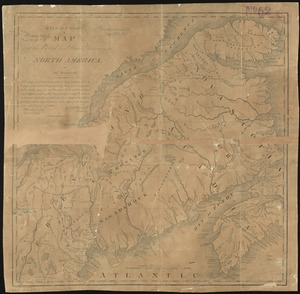
Extract from a map of the British and French dominions in North America
2922.
Extract from the plan of the coast survey of Boston Harbor, 1847
2923.
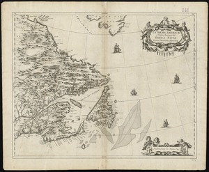
Extrema Americae versus Boream, ubi Terra Nova, Nova Francia, adjacentiaque
2924.
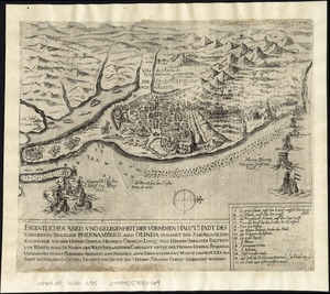
Eygentlicher abris und gelegenheit der vornemen hauptstadt des Königreichs Brasilien Phernambuco auch Olinda genandt inn...
2925.
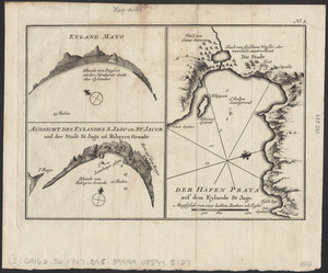
Eyland Mayo ; Aussicht des eylandes S. Jago od. St Jacob und der stadt St Jago od. Ribeyro Grande ; Der hafen Praya auf dem...
2926.
Fac simile of Holmes' map of the Province of Pennsylvania : with the names of the original purchasers from William Penn, begun...
2927.
Facsimile di una carta idrografica di Andrea Bianco del 1436 esistente nella Marciana
2928.
The facts of prohibition in the United States
2929.
Fair Haven, Vt
2930.
Fairbanks Street, Brighton
2931.
Fairburn's map of the country twelve miles round London
2932.
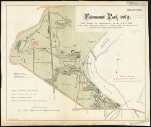
Fairmount Park 1869 : map showing the improvements on the west-side of the river from Girard Avenue to George's Hill and...
2933.
Fairmount Park, Philadelphia, 1868 : with limits, as prescribed in Act of Assembly, approved March 26th, 1868 : showing the...
2934.
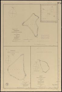
Fakaafo or Bowditch Island ; Nuku-Nono or Duke of Clarence Island ; Oatáfu or Duke of York Island
2935.
Fakaafo or Bowditch Island ; Nuku-Nono or Duke of Clarence Island ; Oatáfu or Duke of York Island
2936.
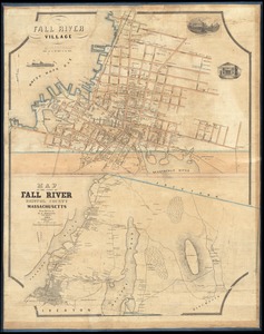
Fall River Village ; Map of the town of Fall River, Bristol County, Massachusetts
2937.
Falmouth Harbour
2938.
Falmouth Harbour
2939.
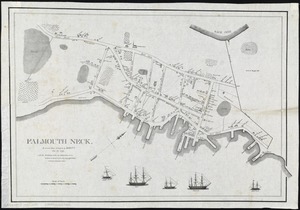
Falmouth Neck : as it was when destroyed by Mowett, Oct. 18, 1775
2940.
Fangaloa Bay, north side of Upolu
‹ Prev
Next ›
1
2
…
143
144
145
146
147
148
149
150
151
…
445
446