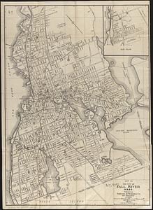
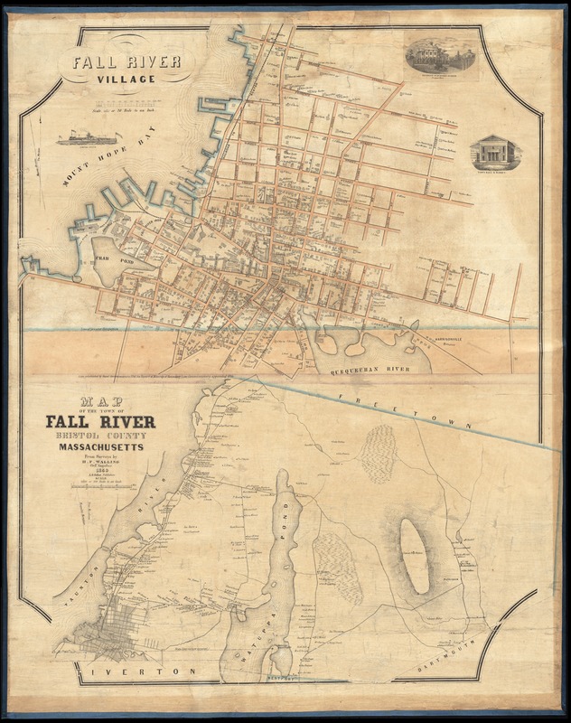
Fall River Village ; Map of the town of Fall River, Bristol County, Massachusetts
Item Information
- Title:
- Fall River Village ; Map of the town of Fall River, Bristol County, Massachusetts
- Creator:
- Walling, Henry Francis, 1825-1888
- Name on Item:
-
from surveys by H.F. Walling.
- Date:
-
1850
- Format:
-
Maps/Atlases
- Location:
-
Boston Public Library
Norman B. Leventhal Map & Education Center - Collection (local):
-
Norman B. Leventhal Map & Education Center Collection
- Subjects:
-
Real property--Massachusetts--Fall River--Maps
Landowners--Massachusetts--Fall River--Maps
Fall River (Mass.)--Maps
- Places:
-
MassachusettsBristol (county)Fall River
- Extent:
- 2 maps on 1 sheet : hand colored ; 47 x 68 cm and 41 x 71 cm, on sheet 99 x 73 cm
- Terms of Use:
-
No known copyright restrictions.
No known restrictions on use.
- Publisher:
-
[New York] :
A.G. Gillet,
- Scale:
-
Scale 1:3,960. 20 rods to an inch
Scale 1:19,800. 100 rods to an inch
- Language:
-
English
- Notes:
-
Relief shown by hachures.
Map of the village shows buildings and some owners; map of the town shows major landowners.
Includes illustrations of the steamship Empire State, Town Hall & Market, and residence of Dr. Nathan Durfee on Prospect Street.
- Identifier:
-
06_01_012252
- Call #:
-
G3764.F3 1850 .W35
- Barcode:
-
39999065696716