Search Constraints
Search Results

7801. Ta. here. Helve

7802. Ta. mo. Galliae

7803. Ta. mo. Germa
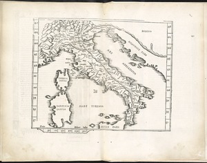
7805. Ta. no. Italiae
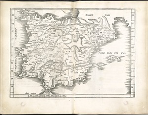
7807. Tab. mo. Hispan
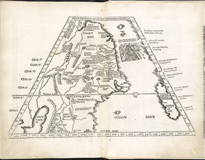
7810. Tab. moderna Indiae
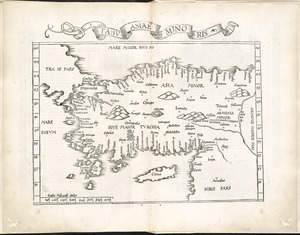
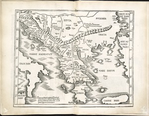
7813. Tabu. Asiae minoris
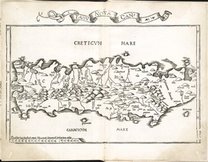
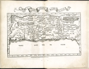
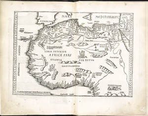
7815. Tabu. nova Can
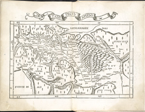
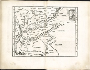
7816. Tabu. provi. Rheni
![Tabu. provi. Rheni [verso]](https://bpldcassets.blob.core.windows.net/derivatives/images/commonwealth:3f462s27r/image_thumbnail_300.jpg)