Toggle navigation
LMEC Home
Exhibitions
Georeferencing
Tools for Teachers
Collections
My Favorites
Sign Up / Log In
Search
Search the map portal
Map Collection
Map Collection
Map Sets
Search
Search
Search for
Search In
All Fields
Creator
Title
Subject
Place
Search All Digital Collections
Advanced Search
205 Results
My Search
Start Over
More Like
commonwealth:j38608291
Remove constraint More Like: commonwealth:j38608291
Filter your Search
Place
North and Central America
161
United States
146
New England
101
Massachusetts
45
Middle Atlantic
21
Rhode Island
19
Connecticut
17
Canada
16
more
Place
»
Topic
New England--Maps--Early works to 1800
97
Massachusetts--Maps--Early works to 1800
31
Middle Atlantic States--Maps--Early works to 1800
20
Connecticut--Maps--Early works to 1800
16
Rhode Island--Maps--Early works to 1800
15
World maps--Early works to 1800
13
North America--Maps--Early works to 1800
11
Northeastern States--Maps--Early works to 1800
10
more
Topic
»
Date
Date range begin
–
Date range end
Current results range from
1482
to
1999
View distribution
Creator
Jefferys, Thomas, d. 1771
8
Jefferys, Thomas, -1771
6
Bellin, Jacques Nicolas, 1703-1772
5
Bowles, Carington, 1724-1793
5
Des Barres, Joseph F. W. (Joseph Frederick Wallet), 1722-1824
5
Ortelius, Abraham, 1527-1598
5
Green, John, d. 1757
4
Sotzmann, D. F.
4
more
Creator
»
Format
Maps/Atlases
205
Manuscripts
5
Books
1
Georeferenced
Yes
21
No
184
Collection
American Revolutionary War-Era Maps
98
Sidney R. Knafel Map Collection at Phillips Academy
87
Norman B. Leventhal Map & Education Center Collection
82
Boston and New England Maps
50
Mapping Boston Collection
24
Maritime Charts and Atlases
14
Richard H. Brown Revolutionary War Map Collection at Mount Vernon
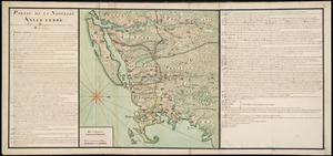
11
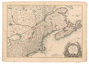
MacLean Collection Map Library
9
more
Collection
»
Available to use
No known restrictions
59
Creative Commons license
45
Search Constraints
Sort by relevance
relevance
title
date (asc)
date (desc)
Number of results to display per page
20 per page
10
per page
20
per page
50
per page
100
per page
View results as:
grid view
map view
Search Results
121.
Nova Anglia, Novum Belgium et Virginia
122.
Nova Belgica et Anglia Nova
123.
Nova Belgica et Anglia Nova
124.
Novi Belgii, Novaeque Angliae nec non partis Virginiae tabula
125.
Novi Belgii Novaeqve Angliae nec non partis Virginiae Tabula
126.
Partie de la Novvelle Angleterre contenant les villes, les bourgs, et le commerce des habitans
127.
Partie orientale du Canada, avec la Nouvelle Angleterre, l'Acadie, et la Terre-Neuve
128.
Partie septentrionale des possessions Angloise en Amerique : pour servire d'intelligence à la guerre présente entre les...
129.
Partie septentrionale des possessions angloise en Amerique
130.
Pas caert van Nieu Nederland, Virginia en Nieu Engelant
131.
Pas caerte van Nieu Nederlandt en de Engelsche Virginies van Cabo Cod tot Cabo Canrick
132.
Pas-caert van Terra Nova, Nova Francia, Nieuw-Engeland en de groote rivier van Canada
133.
Pascaerte van Terra Nova Nova Francia Nievw Engeland En de Groote Revier van Canada
134.
Pas-kaart vande zee kusten inde boght van Niew Engeland : tusschen de staaten Hoek en C. de Sable
135.
Plan des jenigen treffen welches am 8. Sept 1755. zwischen dem Engl. Gen. Johnson, und dem Franz. Gen. Diesckau welcher dabey...
136.
Schauplatz des Kriegs zwischen Engelland und seinen Collonien in America
137.
The seat of war, in New England, by an American volunteer : with the marches of the several corps sent by the colonies, towards...
138.
An accurate map of the English colonies in North America, bordering on the river Ohio
139.
America
140.
America sive India Nova : ad magnae Gerardi Mercatoris aui universalis imitationem in compendium redacta
‹ Prev
Next ›
1
2
3
4
5
6
7
8
9
10
11