Toggle navigation
LMEC Home
Exhibitions
Georeferencing
Tools for Teachers
Collections
My Favorites
Sign Up / Log In
Search
Search the map portal
Map Collection
Map Collection
Map Sets
Search
Search
Search for
Search In
All Fields
Creator
Title
Subject
Place
Search All Digital Collections
Advanced Search
419 Results
My Search
Start Over
More Like
commonwealth:hq37vv62q
Remove constraint More Like: commonwealth:hq37vv62q
Filter your Search
Place
North and Central America
325
North America
230
United States
153
New England
100
Middle Atlantic
38
Canada
31
Massachusetts
27
New York
18
more
Place
»
Topic
North America--Maps--Early works to 1800
240
New England--Maps--Early works to 1800
97
Middle Atlantic States--Maps--Early works to 1800
38
Great Britain--Colonies--America--Maps--Early works to 1800
18
Canada--Maps--Early works to 1800
16
Northeastern States--Maps--Early works to 1800
14
United States--Maps--Early works to 1800
14
World maps--Early works to 1800
13
more
Topic
»
Date
Date range begin
–
Date range end
Current results range from
1482
to
1999
View distribution
Creator
Jefferys, Thomas, -1771
22
Sayer, Robert, 1725-1794
20
Mitchell, John, 1711-1768
19
Gibson, J. (John), active 1750-1792
14
Anville, Jean Baptiste Bourguignon d', 1697-1782
11
Bowen, Emanuel, 1693 or 1694-1767
11
Moll, Herman, d. 1732
11
Bowles, Carington, 1724-1793
10
more
Creator
»
Format
Maps/Atlases
419
Manuscripts
4
Books
1
Georeferenced
Yes
22
No
397
Collection
American Revolutionary War-Era Maps
255
Norman B. Leventhal Map & Education Center Collection
181
Sidney R. Knafel Map Collection at Phillips Academy
87
MacLean Collection Map Library
67
New York Public Library Collection
38
Mapping Boston Collection
33
Boston and New England Maps
31
Richard H. Brown Revolutionary War Map Collection at Mount Vernon
26
more
Collection
»
Available to use
No known restrictions
153
Creative Commons license
107
Search Constraints
Sort by relevance
relevance
title
date (asc)
date (desc)
Number of results to display per page
20 per page
10
per page
20
per page
50
per page
100
per page
View results as:
grid view
map view
Search Results
181.
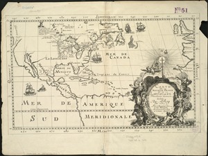
Carte de la Nouuelle France et de la Louisiane nouuellement découuerte : dediée au Roy l'an 1683
182.
Carte de la Nouvelle France ou se voit le cours des grandes rivieres de S. Laurens & de Mississipi aujour d'hui S. Louis, aux...
183.
Carte de la partie septentrionale et occidentale de l' Amerique
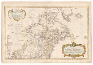
184.
Carte de l'Amérique septentrionale, 1754
185.
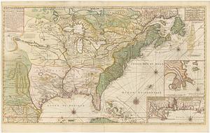
Carte de l'Amérique septentrionale, depuis la baye d'Hudson jusqu'au Mississipi : pour servir aux essais historiques et...
186.
Carte de l'Amerique Septentrionale depuis le 28 degre de latitude jusqu'au 7
187.
Carte de l'Amérique Septle. pour servir à l'intelligence de la guerre entre les Anglois et les insurgents
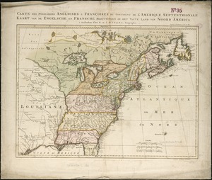
188.
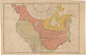
Carte des possessions angloises & françoises du continent de l'Amérique septentrionale = Kaart van de Engelsche en Fransche...
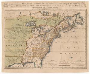
189.
Carte des possessions angloises & françoises du continent de l'Amerique Septentrionale = Kaart van de engelsche en fransche...
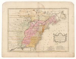
190.
Carte des possessions angloises & françoises du continent de l'Amérique Septentrionale
191.
Carte des possessions angloises & françoises du continent de l'Amérique Septentrionale = A map of the British and French...
192.
Carte des possessions angloises & françoises du continent de l'Amérique Septentrionale
193.
Carte des possessions angloises & françoises du continent de l'Amérique Septentrionale
194.
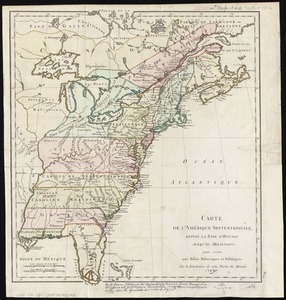
Carte des possessions angloises dans l'Amerique Septentrionale pour servir d'intelligence à la guerre presente traduite de...
195.
Carte des possessions des Anglois en Amerique, par rapport à leurs differends avec la France
196.
Carte detaillé des possessions angloises dans l'Amerique Septentrionale : construite d'après les derniéres relations et les...
197.
Carte detaillée des possessions angloises dans l'Amerique Septentrionale : construite d'après les dernieres relations et les...
198.
Carte du Mexique et de la Florida : des terres angloises et des Isles Antilles, du cours et des environs de la Riviere de...
199.
Carte du théatre de la guerre actuel entre les anglais et les Treize Colonies Unies de l'Amerique Septentrionale
200.
Carte d'un partie de l'Amerique Septentrionale : ou est tracée notre route d'Halifax à New York, par Quebec, Montreal, le Lac...
‹ Prev
Next ›
1
2
…
6
7
8
9
10
11
12
13
14
…
20
21