Toggle navigation
LMEC Home
Exhibitions
Georeferencing
Tools for Teachers
Collections
My Favorites
Sign Up / Log In
Search
Search the map portal
Map Collection
Map Collection
Map Sets
Search
Search
Search for
Search In
All Fields
Creator
Title
Subject
Place
Search All Digital Collections
Advanced Search
197 Results
My Search
Start Over
More Like
commonwealth:hm510v708
Remove constraint More Like: commonwealth:hm510v708
Filter your Search
Place
North and Central America
186
United States
175
Massachusetts
109
North Carolina
28
Georgia
23
South Carolina
20
Middlesex (county)
17
Bristol (county)
9
more
Place
»
Topic
North Carolina--Maps
30
Georgia--Maps
23
South Carolina--Maps
20
Massachusetts--Maps
19
Railroads--South Carolina--Maps
5
Alabama--Maps
4
Counties--Georgia--Maps
4
Counties--South Carolina--Maps
4
more
Topic
»
Date
Date range begin
–
Date range end
Current results range from
1752
to
2010
View distribution
Creator
Applied Geographics, Inc.
61
MassGIS (Office : Mass.)
56
Massachusetts. Executive Office of Environmental Affairs
32
Geological Survey (U.S.)
8
Massachusetts Bays Program
8
Massachusetts Coastal Zone Management Office
8
Carey, Mathew, 1760-1839
7
United States. Post Office Dept
7
more
Creator
»
Format
Maps/Atlases
196
Ephemera
1
Georeferenced
Yes
6
No
191
Collection
Norman B. Leventhal Map & Education Center Collection
180
Applied Geographics, Inc. Records
143
Boston and New England Maps
117
Urban Maps
28
American Revolutionary War-Era Maps
19
Maritime Charts and Atlases
17
American Antiquarian Society Collection
9
William L. Clements Library Collection
7
more
Collection
»
Available to use
No known restrictions
180
Search Constraints
Sort by relevance
relevance
title
date (asc)
date (desc)
Number of results to display per page
20 per page
10
per page
20
per page
50
per page
100
per page
View results as:
grid view
map view
Search Results
21.
The State of South Carolina: : from the best authorities. 1796
22.
The state of South Carolina : from the best authorities
23.
The state of South Carolina: from the best authorities
24.
Georgia and the Indian land cessions, ca. 1770
25.
Georgia from the latest authorities
26.
Georgia, from the latest authorities
27.
Map of northern Georgia
28.
A map of the sea coast of Georgia & the inland parts thereof extending to the westward of that part of Savannah called Broad...
29.
Map of the state of Georgia
30.
Mississippi Territory and Georgia
31.
A New map of the Cherokee nation : with the names of the towns & rivers they are situated on No. lat from 34 to 36
32.
Northern Alabama and Georgia
33.
Northern Georgia with portions of adjacent states
34.
Northwestern Georgia : (with portions of the adjoining states of Tennessee and Alabama) being part of the Department of the...
35.
Post route map of the State of Georgia showing post offices with the intermediate distances and mail routes in operation on the...
36.
Post route map of the state of Georgia showing post offices with the intermediate distances on mail routes in operation on the...
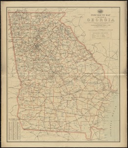
37.
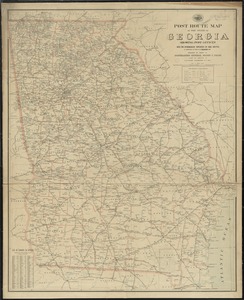
Post route map of the state of Georgia showing post offices with the intermediate distances on mail routes in operation on the...
38.
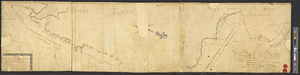
To Lachlan Mc: Gillivray esqr: deputy superintendant : this sketch of the boundary line between the province of Georgia and the...
39.
Coast of North Carolina & Virginia
40.
Colton's new topographical map of the eastern portion of the State of North Carolina with part of Virginia & South Carolina...
‹ Prev
Next ›
1
2
3
4
5
6
…
9
10