Toggle navigation
LMEC Home
Exhibitions
Georeferencing
Tools for Teachers
Collections
My Favorites
Sign Up / Log In
Search
Search the map portal
Map Collection
Map Collection
Map Sets
Search
Search
Search for
Search In
All Fields
Creator
Title
Subject
Place
Search All Digital Collections
Advanced Search
8698 Results
My Search
Start Over
More Like
commonwealth:hd76xc30j
Remove constraint More Like: commonwealth:hd76xc30j
Filter your Search
Place
North and Central America
5,928
United States
4,845
Massachusetts
2,079
Europe
1,396
Suffolk (county)
1,046
Boston
1,019
Canada
449
Asia
438
more
Place
»
Topic
Boston (Mass.)--Maps
586
United States--Maps
282
Real property--Massachusetts--Boston--Maps
175
Massachusetts--Maps
162
Landowners--Massachusetts--Boston--Maps
133
North America--Maps--Early works to 1800
103
New England--Maps
102
Europe--Maps
79
more
Topic
»
Date
Date range begin
–
Date range end
Current results range from
1482
to
2023
View distribution
Creator
United States. Hydrographic Office
594
O.H. Bailey & Co
148
Des Barres, Joseph F. W. (Joseph Frederick Wallet), 1722-1824
123
United States. Post Office Dept
120
Ptolemy, 2nd cent
100
Walling, Henry Francis, 1825-1888
94
Geological Survey (U.S.)
86
Jefferys, Thomas, -1771
85
more
Creator
»
Format
Maps/Atlases
8,638
Manuscripts
215
Prints
56
Books
36
Objects/Artifacts
10
Drawings/Illustrations
8
Posters
5
Georeferenced
Yes
869
No
7,829
Collection
Norman B. Leventhal Map & Education Center Collection
8,697
Boston and New England Maps
2,234
Urban Maps
2,023
Maritime Charts and Atlases
1,084
American Revolutionary War-Era Maps
617
Boston Redevelopment Authority Collection
87
Applied Geographics, Inc. Records
3
New York Public Library Collection
1
Available to use
No known restrictions
8,555
Creative Commons license
48
Search Constraints
Sort by relevance
relevance
title
date (asc)
date (desc)
Number of results to display per page
20 per page
10
per page
20
per page
50
per page
100
per page
View results as:
grid view
map view
Search Results
6261.
Plan of lots on Fort Hill district, belonging to the City of Boston : to be sold at public auction, on Wednesday, April 15th at...
6262.
Plan of lots on Mount-Bowdoin in Dorchester
6263.
[Plan of lots on O Street, South Boston]
6264.
[Plan of lots on Park, Beacon and Tremont Streets in Boston]
6265.
[Plan of lots on Pine Street, Boston, between Washington and Front Streets]
6266.
[Plan of lots on West Selden Street, Dorchester]
6267.
Plan of lots to be sold at auction in West New[ton] on Friday, September 23d, 1853, at 3 o'clock, p.m : by the foot & by the acre
6268.
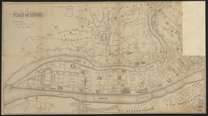
Plan of Lyons
6269.
Plan of main ship channel in Boston Harbor showing the work of removing certain obstructions to navigation
6270.
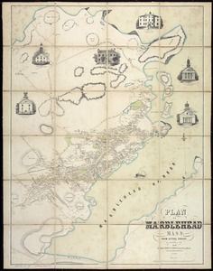
Plan of Marblehead, Mass. from actual survey
6271.
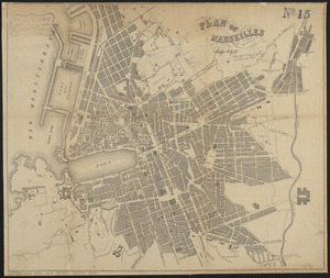
Plan of Marseilles
6272.
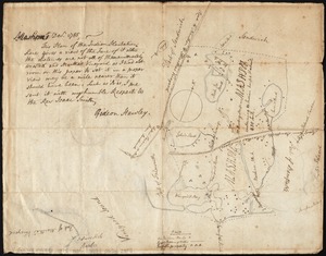
Plan of Mashpee
6273.
Plan of Mayflower Park situated in the town of Braintree owned by the Braintree Land Associates
6274.
Plan of Mercantile Wharf property in Boston Mass : showing 5 lots of land thereon to be sold at public auction on Tuesday April...
6275.
Plan of Middlesex County, Massachusetts
6276.
Plan of Milton Cemetery
6277.
Plan of modern Rome
6278.
Plan of modern Rome
6279.
Plan of Mount Auburn
6280.
Plan of Mount Hope Cemetery : including the City Cemetery belonging to the City of Boston and situated in West Roxbury &...
‹ Prev
Next ›
1
2
…
310
311
312
313
314
315
316
317
318
…
434
435


![[Plan of lots on O Street, South Boston]](https://bpldcassets.blob.core.windows.net/derivatives/images/commonwealth:79408310h/image_thumbnail_300.jpg)
![[Plan of lots on Park, Beacon and Tremont Streets in Boston]](https://bpldcassets.blob.core.windows.net/derivatives/images/commonwealth:9s161j64v/image_thumbnail_300.jpg)
![[Plan of lots on Pine Street, Boston, between Washington and Front Streets]](https://bpldcassets.blob.core.windows.net/derivatives/images/commonwealth:9s161h488/image_thumbnail_300.jpg)
![[Plan of lots on West Selden Street, Dorchester]](https://bpldcassets.blob.core.windows.net/derivatives/images/commonwealth:js956j14f/image_thumbnail_300.jpg)
![Plan of lots to be sold at auction in West New[ton] on Friday, September 23d, 1853, at 3 o'clock, p.m](https://bpldcassets.blob.core.windows.net/derivatives/images/commonwealth:x059c971d/image_thumbnail_300.jpg)