Toggle navigation
LMEC Home
Exhibitions
Georeferencing
Tools for Teachers
Collections
My Favorites
Sign Up / Log In
Search
Search the map portal
Map Collection
Map Collection
Map Sets
Search
Search
Search for
Search In
All Fields
Creator
Title
Subject
Place
Search All Digital Collections
Advanced Search
462 Results
My Search
Start Over
More Like
commonwealth:gt54s800t
Remove constraint More Like: commonwealth:gt54s800t
Filter your Search
Place
North and Central America
390
United States
217
North America
128
Canada
61
South America
60
Mesoamerica
59
America
50
New York
23
more
Place
»
Topic
America--Maps--Early works to 1800
78
North America--Maps--Early works to 1800
65
Western Hemisphere--Maps--Early works to 1800
49
United States--Maps--Early works to 1800
44
Canada--Maps--Early works to 1800
40
Indians of North America--Maps--Early works to 1800
14
Great Lakes Region (North America)--Maps--Early works to 1800
12
Pennsylvania--Maps--Early works to 1800
11
more
Topic
»
Date
Date range begin
–
Date range end
Current results range from
1520
to
1999
View distribution
Creator
Jefferys, Thomas, -1771
21
Bellin, Jacques Nicolas, 1703-1772
15
Gibson, J. (John), active 1750-1792
14
Robert Sayer and John Bennett (Firm)
14
Sayer, Robert, 1725-1794
14
Carleton, Osgood, 1742-1816
13
Faden, William, 1749-1836
13
Bowles, Carington, 1724-1793
10
more
Creator
»
Format
Maps/Atlases
460
Manuscripts
5
Paintings
3
Ephemera
1
Objects/Artifacts
1
Prints
1
Georeferenced
Yes
2
No
460
Collection
MacLean Collection Map Library
379
American Revolutionary War-Era Maps
346
Norman B. Leventhal Map & Education Center Collection
61
Sidney R. Knafel Map Collection at Phillips Academy
9
Richard H. Brown Revolutionary War Map Collection at Mount Vernon
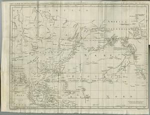
6
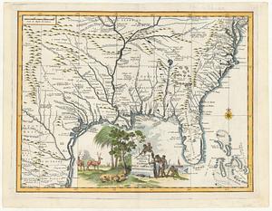
New York Public Library Collection
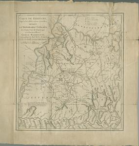
4
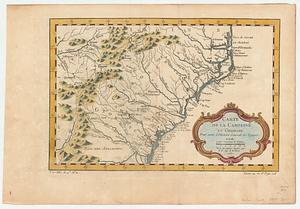
Mapping Boston Collection
3
Newberry Library Collection
2
more
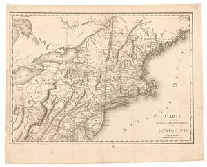
Collection
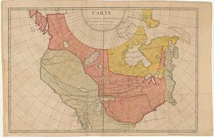
»
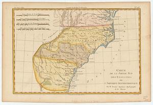
Available to use
No known restrictions
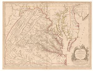
59
Creative Commons license
13
Search Constraints
Sort by relevance
relevance
title
date (asc)
date (desc)
Number of results to display per page
20 per page
10
per page
20
per page
50
per page
100
per page
View results as:
grid view
map view
Search Results
121.
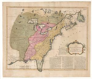
The British & French dominions in North America particularly shewing the French encroachments through all the British...
122.
British dominions in America agreeable to the treaty of 1763 : divided into the several provinces, and jurisdictions
123.
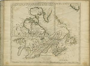
The British possessions in North America from the best authorities
124.
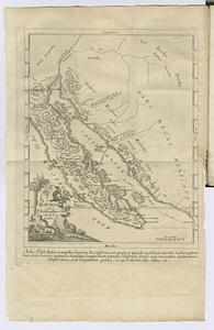
California
125.
Californias: Antigua y nueva
126.
Canada Louisiane et terres angloises
127.
Canada Louisiane et terres angloises
128.
Carta del Mar Pacifico del nord che comprendela costa nord est d'Asia e la costa-nord ouest d'America riconosciute nel 1778 e79...
129.
Carta geografica della Florida nell' America settentrional
130.
Carte de Kentucke, d'apres les observations actuelles : dediee a l'honorable congres des Etats-Unis de l'Amerique et a son...
131.
Carte de la Caroline et Georgie : pour servir à l'histoire générale des voyages
132.
Carte de la Caroline et Georgie : pour servir à l'histoire générale des voyages
133.
Carte de la Louisiane
134.
Carte de la Louisiane colonie francaise avec le cours du fleuve St. Louis, les rivieres adjacentes, les nations des naturels,...
135.
Carte de la Nouvelle France ou se voit le cours des grandes rivieres de S. Laurens & de Mississipi aujour d'hui S. Louis, aux...
136.
Carte de la partie septentrionale des Etats-Unis
137.
Carte de la partie septentrionale et occidentale de l' Amerique
138.
Carte de la partie sud des Etats Unis de l'Amerique Septentrionale
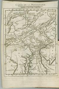
139.
Carte de la Pensilvanie
140.
Carte de la Virginie et du Maryland
‹ Prev
Next ›
1
2
3
4
5
6
7
8
9
10
11
…
23
24