Toggle navigation
LMEC Home
Exhibitions
Georeferencing
Tools for Teachers
Collections
My Favorites
Sign Up / Log In
Search
Search the map portal
Map Collection
Map Collection
Map Sets
Search
Search
Search for
Search In
All Fields
Creator
Title
Subject
Place
Search All Digital Collections
Advanced Search
857 Results
My Search
Start Over
More Like
commonwealth:d7920269f
Remove constraint More Like: commonwealth:d7920269f
Filter your Search
Place
North and Central America
804
United States
644
New York
131
New England
130
Canada
86
New Jersey
79
North America
69
Massachusetts
49
more
Place
»
Topic
United States--History--Revolution, 1775-1783--Maps
330
New England--Maps
127
North America--Maps--Early works to 1800
59
Railroads--New England--Maps
50
United States--Maps--Early works to 1800
44
New Jersey--Maps
40
Canada--Maps--Early works to 1800
38
New York (State)--Maps
35
more
Topic
»
Date
Date range begin
–
Date range end
Current results range from
1623
to
2015
View distribution
Creator
Faden, William, 1749-1836
21
Robert Sayer and John Bennett (Firm)
19
Jefferys, Thomas, -1771
18
Clinton, Henry, Sir, 1738?-1795
17
Bellin, Jacques Nicolas, 1703-1772
16
Gibson, J. (John), active 1750-1792
14
Hills, John, active 1777-1819
14
Montrésor, John, 1736-1799
14
more
Creator
»
Format
Maps/Atlases
850
Manuscripts
9
Drawings/Illustrations
5
Paintings
3
Ephemera
1
Objects/Artifacts
1
Prints
1
Georeferenced
Yes
35
No
822
Collection
American Revolutionary War-Era Maps
673
MacLean Collection Map Library
379
William L. Clements Library Collection
310
Norman B. Leventhal Map & Education Center Collection
132
Boston and New England Maps
83
American Antiquarian Society Collection
19
David Judkins Weaver Papers
4
Sidney R. Knafel Map Collection at Phillips Academy
4
more
Collection
»
Available to use
No known restrictions
134
Creative Commons license
8
Search Constraints
Sort by relevance
relevance
title
date (asc)
date (desc)
Number of results to display per page
20 per page
10
per page
20
per page
50
per page
100
per page
View results as:
grid view
map view
Search Results
261.
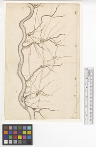
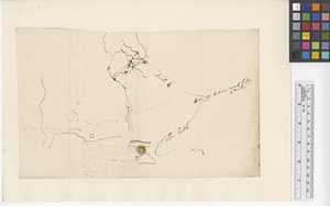
Newark, New Jersey
262.
Newport and its environs, ca. 1778
263.
Newport County, ca. 1779
264.
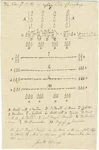
The order of battle in crossing Lake Champlane
265.
Original plan of Brentons Neck; and all the ground to the southward of the town of New-port Rhode Island, 1779
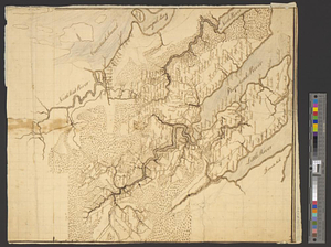
266.
Part of modern Brunswick County
267.
Part of modern Brunswick County
268.
Part of modern Charleston County
269.
Part of modern Monmouth County, 1778
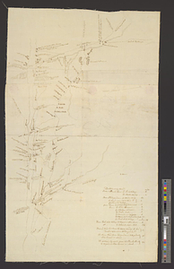
270.
Part of modern Westchester County
271.
Part of modern Westchester County
272.
Part of Monmouth County, New Jersey
273.
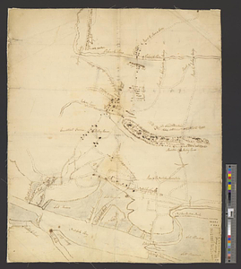
Part of the city of New York, 27th Augt: 1778 [and] part of Long Island
274.
Part of the counties of Charlotte and Albany, in the province of New York; being the seat of war between the king's forces...
275.
Part of the modern counties of Burlington and Camden, New Jersey
276.
Part of the modern counties of Currituck, Camden, and Pasquotank, North Carolina
277.
Part of the modern counties of Dutchess, Putnam, and Westchester
278.
Part of the modern counties of Essex and Hudson, New Jersey
279.
Part of the modern counties of Hudson and Bergen, New Jersey
280.
Part of the modern counties of Litchfield and Fairfield, Connecticut, and Westchester and Putnam, New York
‹ Prev
Next ›
1
2
…
10
11
12
13
14
15
16
17
18
…
42
43

![Part of the city of New York, 27th Augt: 1778 [and] part of Long Island](https://bpldcassets.blob.core.windows.net/derivatives/metadata/commonwealth-oai:6d573t30q/image_thumbnail_300.jpg)