Toggle navigation
LMEC Home
Exhibitions
Georeferencing
Tools for Teachers
Collections
My Favorites
Sign Up / Log In
Search
Search the map portal
Map Collection
Map Collection
Map Sets
Search
Search
Search for
Search In
All Fields
Creator
Title
Subject
Place
Search All Digital Collections
Advanced Search
8858 Results
My Search
Start Over
More Like
commonwealth:cj82m439q
Remove constraint More Like: commonwealth:cj82m439q
Filter your Search
Place
North and Central America
6,010
United States
4,859
Massachusetts
2,079
Europe
1,396
Suffolk (county)
1,046
Boston
1,019
Canada
454
Asia
442
more
Place
»
Topic
Boston (Mass.)--Maps
586
United States--Maps
282
North America--Maps--Early works to 1800
240
Real property--Massachusetts--Boston--Maps
175
Massachusetts--Maps
162
Landowners--Massachusetts--Boston--Maps
133
New England--Maps
102
Europe--Maps
79
more
Topic
»
Date
Date range begin
–
Date range end
Current results range from
1482
to
2023
View distribution
Creator
United States. Hydrographic Office
595
O.H. Bailey & Co
148
Des Barres, Joseph F. W. (Joseph Frederick Wallet), 1722-1824
123
United States. Post Office Dept
120
Ptolemy, 2nd cent
100
Jefferys, Thomas, -1771
94
Walling, Henry Francis, 1825-1888
94
Sayer, Robert, 1725-1794
89
more
Creator
»
Format
Maps/Atlases
8,798
Manuscripts
217
Prints
56
Books
36
Objects/Artifacts
10
Drawings/Illustrations
8
Posters
5
Georeferenced
Yes
872
No
7,986
Collection
Norman B. Leventhal Map & Education Center Collection
8,707
Boston and New England Maps
2,234
Urban Maps
2,023
Maritime Charts and Atlases
1,083
American Revolutionary War-Era Maps
753
Boston Redevelopment Authority Collection
87
MacLean Collection Map Library
66
New York Public Library Collection
36
more
Collection
»
Available to use
No known restrictions
8,556
Creative Commons license
121
Search Constraints
Sort by relevance
relevance
title
date (asc)
date (desc)
Number of results to display per page
20 per page
10
per page
20
per page
50
per page
100
per page
View results as:
grid view
map view
Search Results
201.
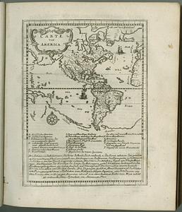
Americae siue noui orbis, noua descriptio
202.
Americae siue noui orbis, noua descriptio
203.
Americae siue noui orbis, noua descriptio
204.
L'Amerique : divisée en ses principaux etats, assujetie aux observations astronomiqes
205.
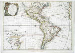
L'Amerique : suivant le R.P. Charlevoix Jte., Mr. de la Condamine, et plusieurs autres nouvle. observations
206.
L'Amerique divisee en ses principales parties ou sont distingues les uns des autres les etats selon quils appartiennent...
207.
L'Amerique divisée en ses principaux États
208.
L'Amerique divisee en tous ses pays et etats dressee sur de nouveaux memoires et sur les dernieres observations
209.
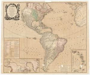
Amérique ou Indes Occidentales, avec les nouvelles découvertes du Capit'e Cook, depuis le Détroit de Behrings ou du Nord,...
210.
Bowles's new four-sheet map of America, and the West Indies, wherein are particularly ascertained the limits and extent of the...
211.
Bowles's new four-sheet map of America, and the West Indies, wherein are particularly ascertained the limits and extent of the...
212.
Carte d'Amerique : divisée en ses principaux etats avec les nouvelles decouvertes faites au Nord et dans la Mer du Sud par les...
213.
Carte von America
214.
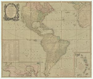
A chart of North and South America, including the Atlantic and Pacific Oceans, with the nearest coasts of Europe, Africa and Asia
215.
Maris Pacifici (quod vulgo Mar del Zur) cum regionibus circumiacentibus, insulisque in eodem passim sparsis, novissima descriptio
216.
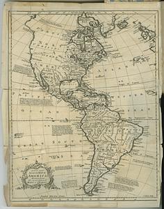
A new and accurate map of America, drawn from the most approv'd maps & charts
217.
Novae insulae XVII, nova tabula
218.
Oceani occidetalis seu terre nove tabula
219.
Quarte partie du monde
220.
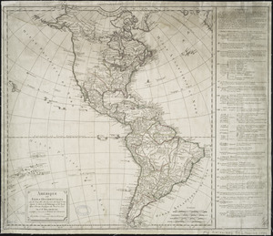
Tipus orbis uniuersalis iuxta Ptolomei cosmographi traditionem et Americi Vespucii alior[um]que
‹ Prev
Next ›
1
2
…
7
8
9
10
11
12
13
14
15
…
442
443


![Tipus orbis uniuersalis iuxta Ptolomei cosmographi traditionem et Americi Vespucii alior[um]que](https://bpldcassets.blob.core.windows.net/derivatives/images/commonwealth:j3860806q/image_thumbnail_300.jpg)