Toggle navigation
LMEC Home
Exhibitions
Georeferencing
Tools for Teachers
Collections
My Favorites
Sign Up / Log In
Search
Search the map portal
Map Collection
Map Collection
Map Sets
Search
Search
Search for
Search In
All Fields
Creator
Title
Subject
Place
Search All Digital Collections
Advanced Search
8699 Results
My Search
Start Over
More Like
commonwealth:cj82m367p
Remove constraint More Like: commonwealth:cj82m367p
Filter your Search
Place
North and Central America
5,928
United States
4,845
Massachusetts
2,079
Europe
1,396
Suffolk (county)
1,046
Boston
1,019
Canada
449
Asia
438
more
Place
»
Topic
Boston (Mass.)--Maps
586
United States--Maps
282
Real property--Massachusetts--Boston--Maps
175
Massachusetts--Maps
162
Landowners--Massachusetts--Boston--Maps
133
North America--Maps--Early works to 1800
103
New England--Maps
102
Europe--Maps
79
more
Topic
»
Date
Date range begin
–
Date range end
Current results range from
1482
to
2023
View distribution
Creator
United States. Hydrographic Office
595
O.H. Bailey & Co
148
Des Barres, Joseph F. W. (Joseph Frederick Wallet), 1722-1824
123
United States. Post Office Dept
120
Ptolemy, 2nd cent
100
Walling, Henry Francis, 1825-1888
94
Geological Survey (U.S.)
86
Jefferys, Thomas, -1771
85
more
Creator
»
Format
Maps/Atlases
8,639
Manuscripts
218
Prints
56
Books
36
Objects/Artifacts
10
Drawings/Illustrations
8
Posters
5
Georeferenced
Yes
870
No
7,829
Collection
Norman B. Leventhal Map & Education Center Collection
8,694
Boston and New England Maps
2,233
Urban Maps
2,023
Maritime Charts and Atlases
1,082
American Revolutionary War-Era Maps
620
Boston Redevelopment Authority Collection
87
Newberry Library Collection
3
Richard H. Brown Revolutionary War Map Collection at Mount Vernon
1
more
Collection
»
Available to use
No known restrictions
8,552
Creative Commons license
48
Search Constraints
Sort by relevance
relevance
title
date (asc)
date (desc)
Number of results to display per page
20 per page
10
per page
20
per page
50
per page
100
per page
View results as:
grid view
map view
Search Results
1.
Carta particolare del'India Occidentale che contiene il Golfo de Veragua, la Baia di Honduras nel' mare del'Noort è parte del'...
2.
Carta particolare dell' mare del' Zur che comincia con il capo Lucar è finisce con Cagidos della nuoua Spagnia, è la Baia di...
3.
Carta particolare del'Isola di Cuba è di Iamaica con il capo della Florida è l'Isola Intorno
4.
A new general chart of the West Indies from the latest marine journals and srveys regulated and ascertained by astronomical...
5.
A new general chart of the West Indies from the latest marine journals and surveys regulated and ascertained by astronomical...
6.
A new general chart of the West Indies from the latest marine journals and surveys regulated and ascertained by astronomical...
7.
Carte de la Mer du Sud et des costes d'Amerique et d'Asie situées sur cette mer : Carte de la Mer du Nord et des costes...
8.
The coast of West Florida and Louisiana
9.
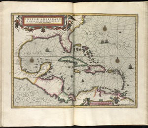
Insulae Americanae in Oceano Septentrionali cum terris adiacentibus
10.
Insulae Americanae in Oceano Septentrionali cum terris adiacentibus
11.
Pascaerte van Westindien de Vaste Kusten en de Eylanden
12.
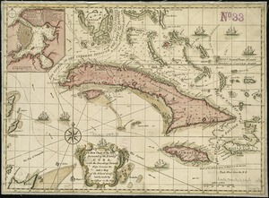
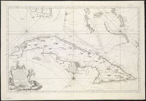
An accurate map of Cuba, and the adjacent islands
13.
Beschryvinghe der eylanden van Cuba, Hispaniola, Iamaica, S. Ioannis ende Margarita
14.
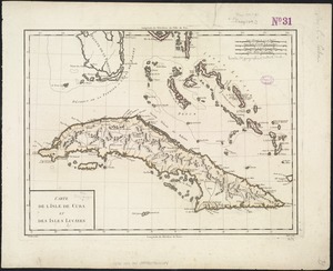
Carte de l'Isle de Cuba et des Isles Lucayes
15.
Carte réduite de l'isle de Cube
16.
Cuba en Iamaica : soo als die door Kolumbus ontdekt, en by de Kastilianen bevolkt sijn = Iles de Cuba et de la Jamaique : ainsi...
17.
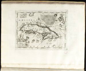
Isola Cuba
18.
A map of the isle of Cuba : with the Bahama Islands, Gulf of Florida, and Windward Passage ; drawn from English and Spanish...
19.
[Mexico and Central America]
20.
A new chart of the seas surrounding the island of Cuba, with the soundings, currents, ships, courses &c. and a map of the...
‹ Prev
Next ›
1
2
3
4
5
…
434
435


![[Mexico and Central America]](https://bpldcassets.blob.core.windows.net/derivatives/images/commonwealth:cj82m4685/image_thumbnail_300.jpg)