Toggle navigation
LMEC Home
Exhibitions
Georeferencing
Tools for Teachers
Collections
My Favorites
Sign Up / Log In
Search
Search the map portal
Map Collection
Map Collection
Map Sets
Search
Search
Search for
Search In
All Fields
Creator
Title
Subject
Place
Search All Digital Collections
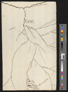
Advanced Search
8707 Results
My Search
Start Over
More Like
commonwealth:cj82m304d
Remove constraint More Like: commonwealth:cj82m304d
Filter your Search
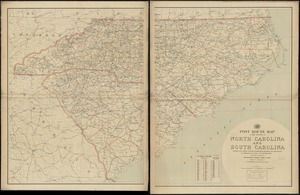
Place
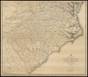
North and Central America
5,938
United States
4,851
Massachusetts
2,079
Europe
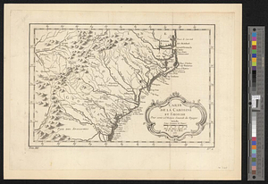
1,396
Suffolk (county)
1,046
Boston
1,019
Canada
449
Asia
438
more
Place
»
Topic
Boston (Mass.)--Maps
586
United States--Maps
282
Real property--Massachusetts--Boston--Maps
175
Massachusetts--Maps
162
Landowners--Massachusetts--Boston--Maps
133
North America--Maps--Early works to 1800
103
New England--Maps
102
Europe--Maps
79
more
Topic
»
Date
Date range begin
–
Date range end
Current results range from
1482
to
2023
View distribution
Creator
United States. Hydrographic Office
595
O.H. Bailey & Co
148
Des Barres, Joseph F. W. (Joseph Frederick Wallet), 1722-1824
123
United States. Post Office Dept
120
Ptolemy, 2nd cent
100
Walling, Henry Francis, 1825-1888
94
Geological Survey (U.S.)
87
Jefferys, Thomas, -1771
85
more
Creator
»
Format
Maps/Atlases
8,647
Manuscripts
215
Prints
56
Books
36
Objects/Artifacts
10
Drawings/Illustrations
8
Posters
5
Georeferenced
Yes
869
No
7,838
Collection
Norman B. Leventhal Map & Education Center Collection
8,695
Boston and New England Maps
2,233
Urban Maps
2,023
Maritime Charts and Atlases
1,083
American Revolutionary War-Era Maps
628
Boston Redevelopment Authority Collection
87
William L. Clements Library Collection
7
American Antiquarian Society Collection
5
more
Collection
»
Available to use
No known restrictions
8,553
Creative Commons license
47
Search Constraints
Sort by relevance
relevance
title
date (asc)
date (desc)
Number of results to display per page
20 per page
10
per page
20
per page
50
per page
100
per page
View results as:
grid view
map view
Search Results
21.
Colton's North Carolina
22.
J.H. Colton's topographical map of North and South Carolina : a large portion of Georgia & part of adjoining states
23.
Manuscript maps of U.S. states
24.
Manuscript maps of U.S. states, possibly drawn by a schoolchild
25.
Map of North Carolina
26.
Map of North Carolina
27.
Middle Virginia and North Carolina
28.
North Carolina
29.
North Carolina & South Carolina
30.
Physiographical map of North Carolina
31.
Post route map of the states of North Carolina and South Carolina showing post offices with the intermediate distances and mail...
32.
Post route map of the states of North Carolina and South Carolina showing post offices with the intermediate distances and mail...
33.
Post route map of the states of North Carolina and South Carolina with adjacent parts of Georgia, Tennessee, Kentucky, West...
34.
The Rand McNally new commercial atlas map of North Carolina
35.
The state of North Carolina from the best authorities, &c
36.
Carte composée des differens ouvrages de messieurs les ingenieurs qui ont eté à Louisiane, avec les renvois alphabetiques de...
37.
A draught of the river Missisippi. From the Balise to Fort Cavendish : taken in the months of June, July, August, September,...
38.
Map of the area between Fort Loudon, Tennessee, and Kaskaskia, Illinois
39.
Carte de la Caroline at Georgie pour servir à l'histoire générale des voyages : tirée des auteurs Anglois
40.
Carte de la Caroline et Georgie. : Pour servir à l'Histoire générale des voyages
‹ Prev
Next ›
1
2
3
4
5
6
…
435
436