Toggle navigation
LMEC Home
Exhibitions
Georeferencing
Tools for Teachers
Collections
My Favorites
Sign Up / Log In
Search
Search the map portal
Map Collection
Map Collection
Map Sets
Search
Search
Search for
Search In
All Fields
Creator
Title
Subject
Place
Search All Digital Collections
Advanced Search
8769 Results
My Search
Start Over
More Like
commonwealth:cj82m2577
Remove constraint More Like: commonwealth:cj82m2577
Filter your Search
Place
North and Central America
5,992
United States
4,914
Massachusetts
2,083
Europe
1,396
Suffolk (county)
1,048
Boston
1,021
Canada
470
Asia
438
more
Place
»
Topic
Boston (Mass.)--Maps
588
United States--Maps
330
Real property--Massachusetts--Boston--Maps
175
Massachusetts--Maps
164
Landowners--Massachusetts--Boston--Maps
133
New England--Maps
127
North America--Maps--Early works to 1800
103
Europe--Maps
79
more
Topic
»
Date
Date range begin
–
Date range end
Current results range from
1482
to
2023
View distribution
Creator
United States. Hydrographic Office
595
O.H. Bailey & Co
148
Des Barres, Joseph F. W. (Joseph Frederick Wallet), 1722-1824
123
United States. Post Office Dept
120
Ptolemy, 2nd cent
100
Walling, Henry Francis, 1825-1888
94
Geological Survey (U.S.)
87
Jefferys, Thomas, -1771
86
more
Creator
»
Format
Maps/Atlases
8,709
Manuscripts
215
Prints
56
Books
36
Objects/Artifacts
10
Drawings/Illustrations
8
Posters
5
Georeferenced
Yes
873
No
7,896
Collection
Norman B. Leventhal Map & Education Center Collection
8,704
Boston and New England Maps
2,239
Urban Maps
2,023
Maritime Charts and Atlases
1,083
American Revolutionary War-Era Maps
674
Boston Redevelopment Authority Collection
87
American Antiquarian Society Collection
29
William L. Clements Library Collection
16
more
Collection
»
Available to use
No known restrictions
8,560
Creative Commons license
53
Search Constraints
Sort by relevance
relevance
title
date (asc)
date (desc)
Number of results to display per page
20 per page
10
per page
20
per page
50
per page
100
per page
View results as:
grid view
map view
Search Results
6021.
Pascaarte vande vaste cust en eylanden van Westindien, als mede de Virginis en Nieu-Nederland, van C. Droge tot C. Cod
6022.
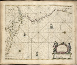
Pascaarte vande zee custen van Guinea, en Brasilia : van Cabo de Verde, tot C. de bona Esperanc̨a : van R. de Amazones tot Rio...
6023.
Pas-caert van Terra Nova, Nova Francia, Nieuw-Engeland en de groote rivier van Canada
6024.
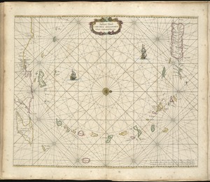
Pascaert vande Caribes Eylanden
6025.
Pascaerte van Brazil en Nieu Nederlandt, van Corvo en Flores tot de Barbados
6026.
Pascaerte van Nova Hispania, Chili, Peru, en Guatimala
6027.
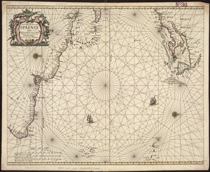
Pascaerte van 't westelyckste deel vande Spaense Zee, tuschen Brasil, de zoute en Vlaemse eylanded, en voorwestwart
6028.
Pascaerte van Terra Nova Nova Francia Nievw Engeland En de Groote Revier van Canada
6029.
Pascaerte van Westindien de Vaste Kusten en de Eylanden
6030.
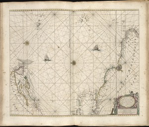
Pascaerte vande Vlaemsche, Soute, en Caribesche Eylanden, als mede Terra Nova, en de custen van Nova Francia, Nova Anglia, Nieu...
6031.
Pascaerte vande Vlaemsche, Soute, en Caribesche Eylanden, als mede Terra Nova, en de custen van Nova Francia, Nova Anglia, Nieu...
6032.
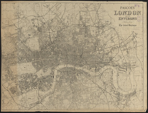
Pascoe's London and its environs, drawn from the latest surveys
6033.
Pashtunistan
6034.
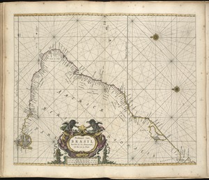
Paskaart van Brasil van Rio de los Amazones tot Rio de la Plata
6035.
Paskaart van de cust van Portugal, Barbaria en Genehoa : beginnende van d'Barlenges tot aan C. Verde met al zyn Diepte en...
6036.
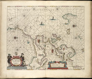
Pas-kaart van Europa met een gedeelte van de kust van Africa tot aen Cabo Verde
6037.
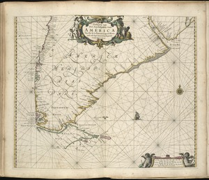
Paskaarte van Het Zuydelijckste van America van Rio de la Plata, tot Caap de Hoorn, ende inde Zuyd Zee, tot B. de Koquimbo
6038.
Paskaarte van't zuÿdelÿckste Deel van America, van Cabo St. Antonio, to Caep de Hoorn, en de inde Zuÿd Zee, tot B. de Tongoÿ
6039.
Paskaert van Brasilia van Pernambuco tot C. de S. Antonio
6040.
Paskaert van de Noordelijckste kuste van America van Groenland door de Straet Davis en de Straet Hudson tot Terra Neuf
‹ Prev
Next ›
1
2
…
298
299
300
301
302
303
304
305
306
…
438
439