Search Constraints
Search Results


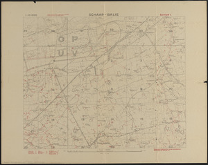
7284. Schaap-balie
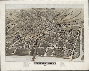
7286. Schenectady, N.Y

![School atlas to Cummings' ancient & modern geography [cover]](https://bpldcassets.blob.core.windows.net/derivatives/images/commonwealth:3f463152q/image_thumbnail_300.jpg)
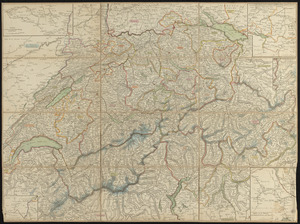
7290. Schweiz
7291. Schweiz
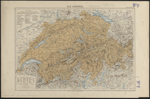
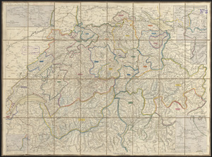
7292. Die Schweiz
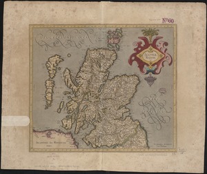
7293. Scotia Regnum
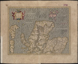
7294. Scotiae regnum
![[Scotiae regnum]](https://bpldcassets.blob.core.windows.net/derivatives/images/commonwealth:cj82m2666/image_thumbnail_300.jpg)
7295. [Scotiae regnum]
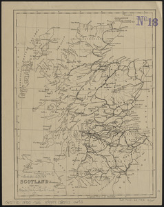
7296. Scotland