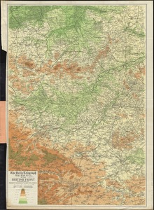
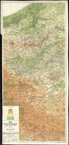
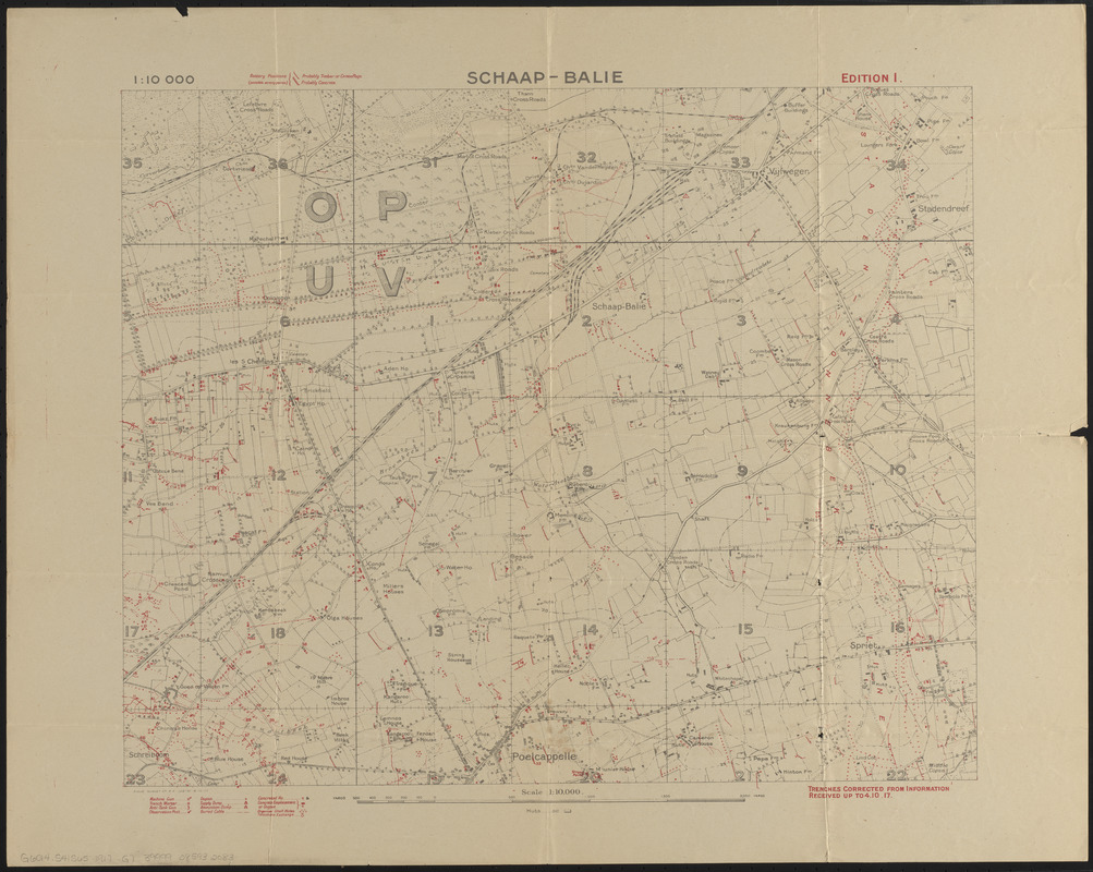
Schaap-balie
Item Information
- Title:
- Schaap-balie
- Cartographer:
- Great Britain. War Office. General Staff. Geographical Section
- Name on Item:
-
Field Survey Co. R. E. (2679)
- Date:
-
1917
- Format:
-
Maps/Atlases
- Location:
-
Boston Public Library
Norman B. Leventhal Map & Education Center - Collection (local):
-
Norman B. Leventhal Map & Education Center Collection
- Subjects:
-
Military topography--Belgium--Schaap Balir--Maps
World War, 1914-1918--Belgium--Maps
Schaap Balir (Belgium)--Maps
- Places:
-
BelgiumFlanders (region)West Flanders (province)Schaap Balir
- Extent:
- 1 map : color ; 41 x 51 cm
- Terms of Use:
-
No known copyright restrictions.
No known restrictions on use.
- Publisher:
-
[Great Britain] :
[War Office]
- Scale:
-
Scale 1:10,000
- Language:
-
English
- Notes:
-
Red overprint showing trenches, batteries, armaments, posts and other military information.
Relief shown by contours.
"Trenches corrected from information received up to 4.10.17."
- Identifier:
-
06_01_015136
- Call #:
-
G6014.S41S65 1917 .G7
- Barcode:
-
39999085932083