Toggle navigation
LMEC Home
Exhibitions
Georeferencing
Tools for Teachers
Collections
My Favorites
Sign Up / Log In
Search
Search the map portal
Map Collection
Map Collection
Map Sets
Search
Search
Search for
Search In
All Fields
Creator
Title
Subject
Place
Search All Digital Collections
Advanced Search
8730 Results
My Search
Start Over
More Like
commonwealth:cj82m119m
Remove constraint More Like: commonwealth:cj82m119m
Filter your Search
Place
North and Central America
5,961
United States
4,879
Massachusetts
2,099
Europe
1,396
Suffolk (county)
1,068
Boston
1,041
Canada
449
Asia
438
more
Place
»
Topic
Boston (Mass.)--Maps
586
United States--Maps
282
Real property--Massachusetts--Boston--Maps
175
Massachusetts--Maps
162
Landowners--Massachusetts--Boston--Maps
133
North America--Maps--Early works to 1800
103
New England--Maps
102
Europe--Maps
79
more
Topic
»
Date
Date range begin
–
Date range end
Current results range from
1482
to
2023
View distribution
Creator
United States. Hydrographic Office
595
O.H. Bailey & Co
148
Des Barres, Joseph F. W. (Joseph Frederick Wallet), 1722-1824
126
United States. Post Office Dept
120
Ptolemy, 2nd cent
100
Walling, Henry Francis, 1825-1888
94
Geological Survey (U.S.)
86
Jefferys, Thomas, -1771
85
more
Creator
»
Format
Maps/Atlases
8,670
Manuscripts
216
Prints
56
Books
36
Objects/Artifacts
10
Drawings/Illustrations
8
Posters
5
Georeferenced
Yes
873
No
7,857
Collection
Norman B. Leventhal Map & Education Center Collection
8,713
Boston and New England Maps
2,250
Urban Maps
2,028
Maritime Charts and Atlases
1,091
American Revolutionary War-Era Maps
644
Boston Redevelopment Authority Collection
87
Mapping Boston Collection
19
Richard H. Brown Revolutionary War Map Collection at Mount Vernon
6
more
Collection
»
Available to use
No known restrictions
8,554
Creative Commons license
79
Search Constraints
Sort by relevance
relevance
title
date (asc)
date (desc)
Number of results to display per page
20 per page
10
per page
20
per page
50
per page
100
per page
View results as:
grid view
map view
Search Results
4161.
Map of the European & North American Railway and its connections
4162.
Map of the European and North American Railway, showing its connection with the railways of the United States & Canada; made by...
4163.
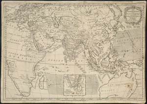
Map of the European settlements in the East Indies and on the eastern coast of Africa including part of Europe
4164.
A map of the extremity of Cape Cod : including the townships of Provincetown & Truro: with chart of their sea coast and of Cape...
4165.
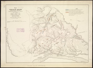
Map of the field of Shiloh, near Pittsburgh Landing, Tenn., shewing the positions of the U.S. forces under the command of Maj....
4166.
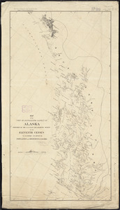
Map of the first or Southeastern district of Alaska
4167.
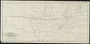
Map of the Fort Wayne, Lacon, & Platte Valley Air Line Railroad, with its eastern connections and proposed extension west in...
4168.
Map of the fresh water tide lands of California
4169.
[Map of the great Venango oil basin]
4170.
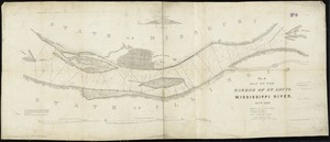
Map of the harbor of St. Louis, Mississippi River, Oct. 1837
4171.
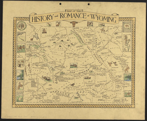
Map of the history and romance of Wyoming
4172.
A map of the history of New York state
4173.
Map of the Hudson River & Berkshire R. R. and its connections
4174.
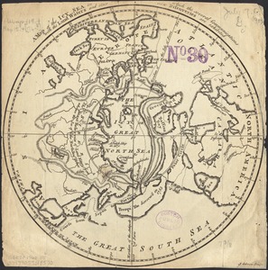
A map of the icy sea in which the several communications with the land waters and other new discoveries are exhibited
4175.
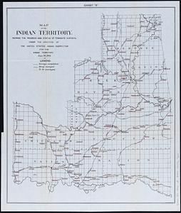
Map of the Indian Territory : showing the progress and status of townsite surveys, under the direction of the United States...
4176.
Map of the Indian Territory : showing the progress and status of townsite appraisements, under the supervision of the United...
4177.
A map of the inhabited part of Canada from the French surveys : with the frontiers of New York and New England from the large...
4178.
A map of the island of Corsica
4179.
A map of the island of Guadaloupe
4180.
Map of the island of Nantucket, including Tuckernuck
‹ Prev
Next ›
1
2
…
205
206
207
208
209
210
211
212
213
…
436
437

![[Map of the great Venango oil basin]](https://bpldcassets.blob.core.windows.net/derivatives/images/commonwealth:w9505s29m/image_thumbnail_300.jpg)