Toggle navigation
LMEC Home
Exhibitions
Georeferencing
Tools for Teachers
Collections
My Favorites
Sign Up / Log In
Search
Search the map portal
Map Collection
Map Collection
Map Sets
Search
Search
Search for
Search In
All Fields
Creator
Title
Subject
Place
Search All Digital Collections
Advanced Search
8931 Results
My Search
Start Over
More Like
commonwealth:cj82m1015
Remove constraint More Like: commonwealth:cj82m1015
Filter your Search
Place
North and Central America
6,162
United States
5,064
Massachusetts
2,194
Europe
1,396
Suffolk (county)
1,207
Boston
1,180
Canada
450
Asia
438
more
Place
»
Topic
Boston (Mass.)--Maps
752
United States--Maps
282
Massachusetts--Maps
235
Real property--Massachusetts--Boston--Maps
195
City planning--Massachusetts--Boston--Maps
157
Landowners--Massachusetts--Boston--Maps
142
New England--Maps
106
North America--Maps--Early works to 1800
103
more
Topic
»
Date
Date range begin
–
Date range end
Current results range from
1482
to
2023
View distribution
Creator
United States. Hydrographic Office
595
Boston Redevelopment Authority
162
O.H. Bailey & Co
148
Des Barres, Joseph F. W. (Joseph Frederick Wallet), 1722-1824
124
United States. Post Office Dept
120
Ptolemy, 2nd cent
100
Walling, Henry Francis, 1825-1888
95
Geological Survey (U.S.)
92
more
Creator
»
Format
Maps/Atlases
8,870
Manuscripts
217
Prints
56
Books
36
Objects/Artifacts
10
Drawings/Illustrations
8
Posters
5
Ephemera
1
Georeferenced
Yes
894
No
8,037
Collection
Norman B. Leventhal Map & Education Center Collection
8,764
Boston and New England Maps
2,402
Urban Maps
2,143
Maritime Charts and Atlases
1,083
American Revolutionary War-Era Maps
657
Boston Redevelopment Authority Collection
194
Mapping Boston Collection
22
Applied Geographics, Inc. Records
21
more
Collection
»
Available to use
No known restrictions
8,706
Creative Commons license
73
Search Constraints
Sort by relevance
relevance
title
date (asc)
date (desc)
Number of results to display per page
20 per page
10
per page
20
per page
50
per page
100
per page
View results as:
grid view
map view
Search Results
8041.
Systema ideale quo exprimitur, aquarum per canales hydragogos subterraneos ex mari et in montium hydrophylacia protrusio,...
8042.
Ta. here. Helve
8043.
Ta. mo. Galliae
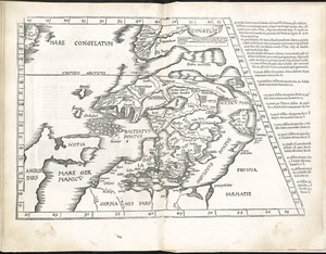
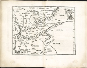
8044.
Ta. mo. Germa
8045.
Ta. moder. Bossinae, Serviae, Graeciae, et Sclavoniae
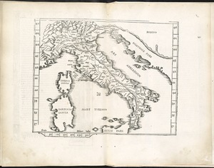
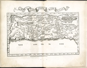
8046.
Ta. no. Italiae
8047.
Ta. superioris Indiae et Tartariae maioris
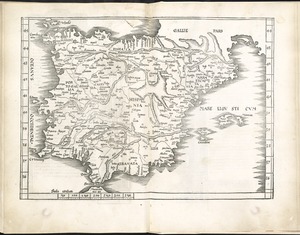
8048.
Tab. mo. Hispan
8049.
Tab. mo. primae partis Aphricae, et tabula secunde partis Aphricae
8050.
Tab. mo. secundae partis Aphricae
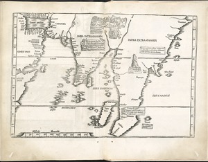
8051.
Tab. moderna Indiae
8052.
Tab. nova Norbegiae et Gottiae
8053.
Les tables de geographie, reduites en un jeu de cartes
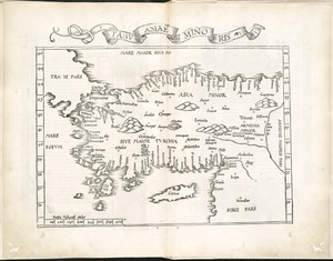
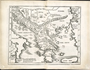
8054.
Tabu. Asiae minoris
8055.
Tabu. moderna Hungariae, Poloniae, Russiae, Prussiae et Valachiae
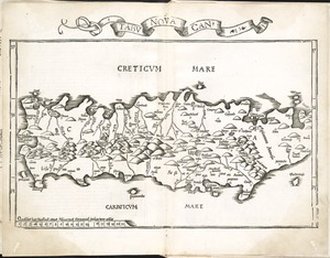
8056.
Tabu. nova Can
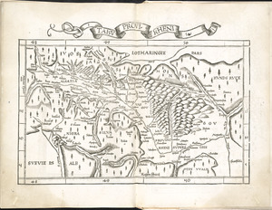
8057.
Tabu. provi. Rheni
8058.
Tabu. provi. Rheni [verso]
8059.
Tabu. terre Sanctae
8060.
Tabula anemographica seu pyxis nautica vulgo compass charte : quâ ventorum noia septem linguis græca scil. latina, italica,...
‹ Prev
Next ›
1
2
…
399
400
401
402
403
404
405
406
407
…
446
447