Toggle navigation
LMEC Home
Exhibitions
Georeferencing
Tools for Teachers
Collections
My Favorites
Sign Up / Log In
Search
Search the map portal
Map Collection
Map Collection
Map Sets
Search
Search
Search for
Search In
All Fields
Creator
Title
Subject
Place
Search All Digital Collections
Advanced Search
8705 Results
My Search
Start Over
More Like
commonwealth:cj82kp35r
Remove constraint More Like: commonwealth:cj82kp35r
Filter your Search
Place
North and Central America
5,936
United States
4,853
Massachusetts
2,079
Europe
1,396
Suffolk (county)
1,046
Boston
1,019
Canada
449
Asia
438
more
Place
»
Topic
Boston (Mass.)--Maps
586
United States--Maps
282
Real property--Massachusetts--Boston--Maps
175
Massachusetts--Maps
162
Landowners--Massachusetts--Boston--Maps
133
North America--Maps--Early works to 1800
103
New England--Maps
102
Europe--Maps
79
more
Topic
»
Date
Date range begin
–
Date range end
Current results range from
1482
to
2023
View distribution
Creator
United States. Hydrographic Office
595
O.H. Bailey & Co
148
Des Barres, Joseph F. W. (Joseph Frederick Wallet), 1722-1824
123
United States. Post Office Dept
120
Ptolemy, 2nd cent
100
Walling, Henry Francis, 1825-1888
94
Geological Survey (U.S.)
86
Jefferys, Thomas, -1771
86
more
Creator
»
Format
Maps/Atlases
8,645
Manuscripts
215
Prints
56
Books
36
Objects/Artifacts
10
Drawings/Illustrations
8
Posters
5
Georeferenced
Yes
869
No
7,836
Collection
Norman B. Leventhal Map & Education Center Collection
8,694
Boston and New England Maps
2,233
Urban Maps
2,023
Maritime Charts and Atlases
1,083
American Revolutionary War-Era Maps
627
Boston Redevelopment Authority Collection
87
William L. Clements Library Collection
5
Maps from AAS
4
more
Collection
»
Available to use
No known restrictions
8,552
Creative Commons license
48
Search Constraints
Sort by relevance
relevance
title
date (asc)
date (desc)
Number of results to display per page
20 per page
10
per page
20
per page
50
per page
100
per page
View results as:
grid view
map view
Search Results
3001.
Japanese fishing, areas and seasons
3002.
Japan-Yezo Id., e. coast, Akishi Bay : republished from the Brt. Admty. chart no. 992, corrected to 1873
3003.
Java and Madoera : Indonesian ethnic groups, elementary education, and Christian missions
3004.
Java and Madoera principal estate regions showing major products
3005.
Jefferson County, Wis.
3006.
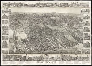
Jersey City, N.J : 1883
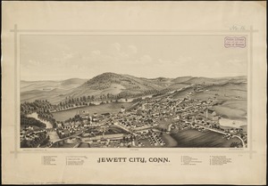
3007.
Jewett City, Conn
3008.
J.H. Colton's topographical map of North and South Carolina : a large portion of Georgia & part of adjoining states
3009.
J.H. Colton's Topographical map of seat of war in Virginia, Maryland, &c
3010.
J.M.E. Riedel's new street number guide map of Fort Wayne
3011.
John Hancock office and parking garage complex, Boston, Massachusetts
3012.
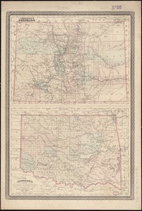
Johnson's Colorado ; Johnson's Indian Territory
3013.
Johnson's map of New York and the adjacent cities
3014.
Johnson's Massachusetts Connecticut and Rhode Island
3015.
Johnson's new illustrated family atlas of the world, with physical geography, and with descriptions geographical, statistical,...
3016.
Johnson's North America
3017.
Johnson's Virginia, Delaware, Maryland & West Virginia
3018.
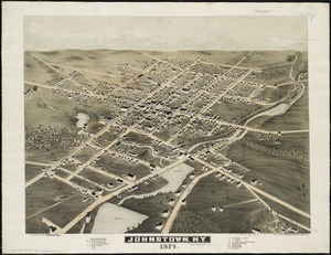
Johnstown, N.Y : 1874
3019.
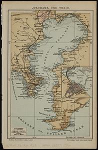
Jokohama und Tokio
3020.
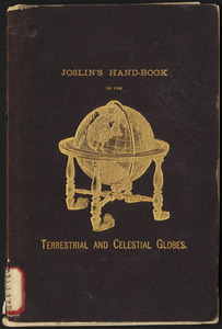
Joslin's hand-book to the terrestrial and celestial globes : how to use a globe
‹ Prev
Next ›
1
2
…
147
148
149
150
151
152
153
154
155
…
435
436


![Johnson's new illustrated family atlas of the world, with physical geography, and with descriptions geographical, statistical, and historical, including the latest federal census, and the existing religious denominations in the world [frontispiece]](https://bpldcassets.blob.core.windows.net/derivatives/images/commonwealth:0r96fp61c/image_thumbnail_300.jpg)