Toggle navigation
LMEC Home
Exhibitions
Georeferencing
Tools for Teachers
Collections
My Favorites
Sign Up / Log In
Search
Search the map portal
Map Collection
Map Collection
Map Sets
Search
Search
Search for
Search In
All Fields
Creator
Title
Subject
Place
Search All Digital Collections
Advanced Search
8672 Results
My Search
Start Over
More Like
commonwealth:cj82kn950
Remove constraint More Like: commonwealth:cj82kn950
Filter your Search
Place
North and Central America
5,911
United States
4,830
Massachusetts
2,072
Europe
1,392
Suffolk (county)
1,043
Boston
1,016
Canada
455
Asia
437
more
Place
»
Topic
Boston (Mass.)--Maps
584
United States--Maps
279
Real property--Massachusetts--Boston--Maps
175
Massachusetts--Maps
162
Landowners--Massachusetts--Boston--Maps
133
New England--Maps
122
North America--Maps--Early works to 1800
103
Europe--Maps
79
more
Topic
»
Date
Date range begin
–
Date range end
Current results range from
1482
to
2023
View distribution
Creator
United States. Hydrographic Office
595
O.H. Bailey & Co
148
Des Barres, Joseph F. W. (Joseph Frederick Wallet), 1722-1824
123
United States. Post Office Dept
120
Ptolemy, 2nd cent
100
Walling, Henry Francis, 1825-1888
94
Geological Survey (U.S.)
86
Jefferys, Thomas, -1771
85
more
Creator
»
Format
Maps/Atlases
8,612
Manuscripts
215
Prints
56
Books
36
Objects/Artifacts
10
Drawings/Illustrations
8
Posters
5
Georeferenced
Yes
871
No
7,801
Collection
Norman B. Leventhal Map & Education Center Collection
8,650
Boston and New England Maps
2,226
Urban Maps
1,992
Maritime Charts and Atlases
1,083
American Revolutionary War-Era Maps
632
Boston Redevelopment Authority Collection
87
American Antiquarian Society Collection
9
William L. Clements Library Collection
6
more
Collection
»
Available to use
No known restrictions
8,508
Creative Commons license
50
Search Constraints
Sort by relevance
relevance
title
date (asc)
date (desc)
Number of results to display per page
20 per page
10
per page
20
per page
50
per page
100
per page
View results as:
grid view
map view
Search Results
3801.
Map of New Milford, Litchfield Co., Conn
3802.
Map of New York and vicinity
3803.
Map of New York and vicinity
3804.
Map of New York City showing concrete socialism in red, and private enterprises in white, 1895
3805.
A map of New York which is published by the Washington Square Bookshop
3806.
A map of New-England : being the first that ever was here cut, and done by the best pattern that could be had, which being in...
3807.
A map of New-England : being the first that ever was here cut, and done by the best pattern that could be had, which being in...
3808.
A map of New-England : being the first that ever was here cut, and done by the best pattern that could be had, which being in...
3809.
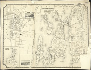
Map of Newport County, Rhode Island
3810.
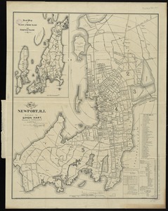
Map of Newport, R.I
3811.
Map of Newton Mass
3812.
Map of New-York
3813.
Map of New-York Bay and Harbor and the environs
3814.
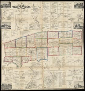
Map of Niagara and Orleans Counties, New York
3815.
Map of Norfolk County, Massachusetts : based upon the trigonometrical survey of the state
3816.
Map of North America : showing all routes to Alaska and Klondike country
3817.
Map of North America
3818.
Map of North America : reduced from map on scale of 1:5,000,000
3819.
Map of North America
3820.
Map of North America : to illustrate facts of geographical distribution
‹ Prev
Next ›
1
2
…
187
188
189
190
191
192
193
194
195
…
433
434