Toggle navigation
LMEC Home
Exhibitions
Georeferencing
Tools for Teachers
Collections
My Favorites
Sign Up / Log In
Search
Search the map portal
Map Collection
Map Collection
Map Sets
Search
Search
Search for
Search In
All Fields
Creator
Title
Subject
Place
Search All Digital Collections
Advanced Search
8776 Results
My Search
Start Over
More Like
commonwealth:cj82kn152
Remove constraint More Like: commonwealth:cj82kn152
Filter your Search
Place
North and Central America
6,007
United States
4,925
Massachusetts
2,096
Europe
1,396
Suffolk (county)
1,056
Boston
1,029
Canada
457
Asia
438
more
Place
»
Topic
Boston (Mass.)--Maps
586
United States--Maps
282
Real property--Massachusetts--Boston--Maps
175
Massachusetts--Maps
162
Landowners--Massachusetts--Boston--Maps
133
North America--Maps--Early works to 1800
106
New England--Maps
102
New England--Maps--Early works to 1800
97
more
Topic
»
Date
Date range begin
–
Date range end
Current results range from
1482
to
2023
View distribution
Creator
United States. Hydrographic Office
595
O.H. Bailey & Co
148
Des Barres, Joseph F. W. (Joseph Frederick Wallet), 1722-1824
125
United States. Post Office Dept
120
Ptolemy, 2nd cent
100
Walling, Henry Francis, 1825-1888
94
Jefferys, Thomas, -1771
88
Geological Survey (U.S.)
86
more
Creator
»
Format
Maps/Atlases
8,716
Manuscripts
216
Prints
56
Books
36
Objects/Artifacts
10
Drawings/Illustrations
8
Posters
5
Georeferenced
Yes
876
No
7,900
Collection
Norman B. Leventhal Map & Education Center Collection
8,732
Boston and New England Maps
2,253
Urban Maps
2,024
Maritime Charts and Atlases
1,093
American Revolutionary War-Era Maps
661
Boston Redevelopment Authority Collection
87
Mapping Boston Collection
36
Sidney R. Knafel Map Collection at Phillips Academy
15
more
Collection
»
Available to use
No known restrictions
8,555
Creative Commons license
102
Search Constraints
Sort by relevance
relevance
title
date (asc)
date (desc)
Number of results to display per page
20 per page
10
per page
20
per page
50
per page
100
per page
View results as:
grid view
map view
Search Results
2921.
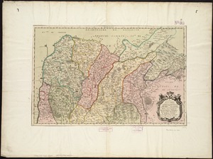
Insubres in Segusianis : partie du dioecese et archevche de Lyon : partie septentrionale de Bresse, Bugey, et Valromey,...
2922.
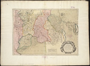
Insubres in Segusianis : partie du dioecese, et Archevesché de Lyon : partie méridionale de la Bresse du Bugey, et Valromey,...
2923.
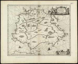
Insula Borneo et occidentalis pars Celebris, cum adjacentibus insulis
2924.
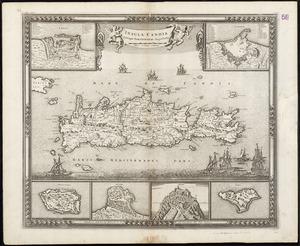
Insula Candia : ejusque fortificatio
2925.
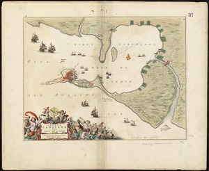
Insula Gaditana, vulgo Isla de Cadiz
2926.
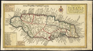
Insula Iamaica : in suas parochias divisa et secundum exemplar primitivum Londinense excusa
2927.
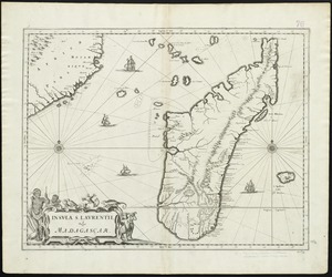
Insula S. Laurentii, vulgo Madagascar
2928.
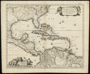
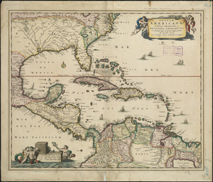
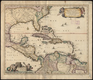
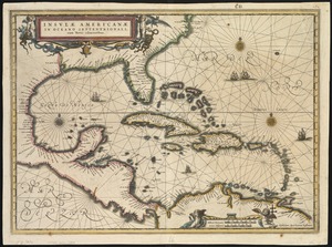
Insulæ Americanæ in Oceano Septentrionali ac regiones adiacentes : a C. de May usque ad Lineam Æquinoctialem
2929.
Insulæ Americanæ in Oceano Septentrionali ac regiones adiacentes : a C. de May usque ad Lineam Æquinoctialem
2930.
Insulæ Americanæ in Oceano Septentrionali ac regiones adiacentes : a C. de May usque ad Lineam Æquinoctialem
2931.
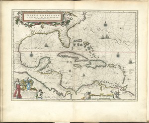
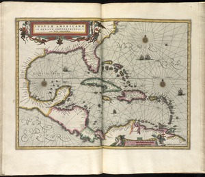
Insulae Americanae in Oceano Septentrionali, cum terris adiacentibus
2932.
Insulae Americanae in Oceano Septentrionali cum terris adiacentibus
2933.
Insulae Americanae in Oceano Septentrionali cum terris adiacentibus
2934.
Insulae Americanae in Oceano Septentrionali, cum terris adiacentibus
2935.
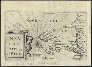
Insulae Capitis Viridis
2936.
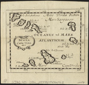
Insulae Capo Viridis
2937.
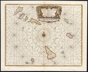
Insulae de Cabo Verde, Olim Hesperides, sive Gorgades : Belgice de zoute eylanden
2938.
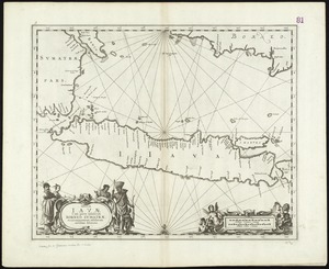
Insulae Iavae, cum parte insularum Borneo Sumatrae, et circumjacentum insularum novissima delineatio
2939.
Insulae Promontorii Viridis, Hispanis, Issas Cabo Verde, Belgis, De Soute Eylanden
2940.
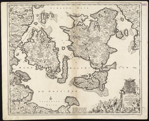
Insularum Danicarum ut Zee-landiae, Fioniae, Langelandiae, Lalandiae, Falstriae, Fembriae, Monae aliarumque in Mari Balthico...
‹ Prev
Next ›
1
2
…
143
144
145
146
147
148
149
150
151
…
438
439