Toggle navigation
LMEC Home
Exhibitions
Georeferencing
Tools for Teachers
Collections
My Favorites
Sign Up / Log In
Search
Search the map portal
Map Collection
Map Collection
Map Sets
Search
Search
Search for
Search In
All Fields
Creator
Title
Subject
Place
Search All Digital Collections
Advanced Search
8552 Results
My Search
Start Over
More Like
commonwealth:cj82kk87w
Remove constraint More Like: commonwealth:cj82kk87w
Filter your Search
Place
North and Central America
5,847
United States
4,771
Massachusetts
2,052
Europe
1,359
Suffolk (county)
1,034
Boston
1,007
Canada
448
Asia
422
more
Place
»
Topic
Boston (Mass.)--Maps
577
United States--Maps
273
Real property--Massachusetts--Boston--Maps
174
Massachusetts--Maps
160
Landowners--Massachusetts--Boston--Maps
132
North America--Maps--Early works to 1800
103
New England--Maps
99
Europe--Maps
78
more
Topic
»
Date
Date range begin
–
Date range end
Current results range from
1482
to
2023
View distribution
Creator
United States. Hydrographic Office
594
O.H. Bailey & Co
148
Des Barres, Joseph F. W. (Joseph Frederick Wallet), 1722-1824
123
United States. Post Office Dept
119
Ptolemy, 2nd cent
100
Walling, Henry Francis, 1825-1888
94
Geological Survey (U.S.)
86
Jefferys, Thomas, -1771
85
more
Creator
»
Format
Maps/Atlases
8,493
Manuscripts
215
Prints
56
Books
36
Objects/Artifacts
10
Drawings/Illustrations
8
Posters
4
Georeferenced
Yes
869
No
7,683
Collection
Norman B. Leventhal Map & Education Center Collection
8,549
Boston and New England Maps
2,204
Urban Maps
1,936
Maritime Charts and Atlases
1,081
American Revolutionary War-Era Maps
619
Boston Redevelopment Authority Collection
87
William L. Clements Library Collection
3
Available to use
No known restrictions
8,408
Creative Commons license
46
Search Constraints
Sort by relevance
relevance
title
date (asc)
date (desc)
Number of results to display per page
20 per page
10
per page
20
per page
50
per page
100
per page
View results as:
grid view
map view
Search Results
1.
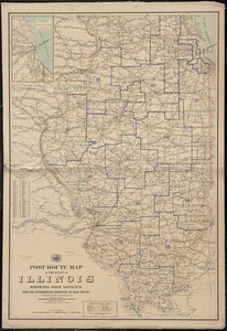
Post route map of the state of Illinois showing post offices with the intermediate distances on mail routes in operation on the...
2.
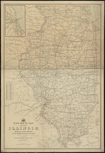
Post route map of the state of Illinois showing post offices with the intermediate distances on mail routes in operation on the...
3.
Post route map of the states of Illinois, Iowa, and Missouri with adjacent parts of Indiana, Wisconsin, Minnesota, Nebraska,...
4.
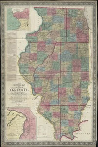
[Illinois]
5.
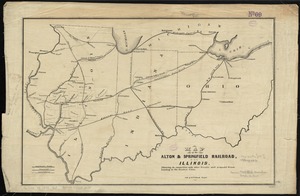
Map of the Alton & Springfield railroad, in Illinois : showing its connection with other roads and proposed roads leading to...
6.
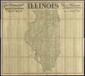
The National Publishing Company's new railroad, post-office and county map of Illinois : with complete index of all...
7.
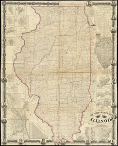
Railroad map of Illinois
8.
Base map of Illinois
9.
Manuscript maps of U.S. states
10.
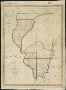
Map of Illinois
11.
Map of the state of Illinois
12.
Map of the states of Ohio, Indiana and Illinois with the settled parts of Michigan & Wisconsin
13.
New sectional map of the state of Illinois : compiled from the United States surveys, also exhibiting the internal...
14.
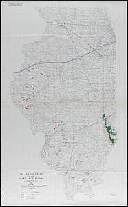
Oil and gas fields of the state of Illinois
15.
State of Illinois
16.
State of Illinois
17.
State of Illinois coal fields and producing districts
18.
Carte composée des differens ouvrages de messieurs les ingenieurs qui ont eté à Louisiane, avec les renvois alphabetiques de...
19.
A draught of the river Missisippi. From the Balise to Fort Cavendish : taken in the months of June, July, August, September,...
20.
A plan of the river Ohio from Fort Pitt to the Mississipi : by order of ye chief engineer
‹ Prev
Next ›
1
2
3
4
5
…
427
428
![[Illinois]](https://bpldcassets.blob.core.windows.net/derivatives/images/commonwealth:4m90f716w/image_thumbnail_300.jpg)