Toggle navigation
LMEC Home
Exhibitions
Georeferencing
Tools for Teachers
Collections
My Favorites
Sign Up / Log In
Search
Search the map portal
Map Collection
Map Collection
Map Sets
Search
Search
Search for
Search In
All Fields
Creator
Title
Subject
Place
Search All Digital Collections
Advanced Search
8882 Results
My Search
Start Over
More Like
commonwealth:cc08kx48x
Remove constraint More Like: commonwealth:cc08kx48x
Filter your Search
Place
North and Central America
6,113
United States
5,029
Massachusetts
2,137
Europe
1,396
Suffolk (county)
1,228
Boston
1,201
Canada
449
Asia
438
more
Place
»
Topic
Boston (Mass.)--Maps
752
United States--Maps
282
Real property--Massachusetts--Boston--Maps
195
City planning--Massachusetts--Boston--Maps
176
Massachusetts--Maps
166
Landowners--Massachusetts--Boston--Maps
142
New England--Maps
104
North America--Maps--Early works to 1800
103
more
Topic
»
Date
Date range begin
–
Date range end
Current results range from
1482
to
2023
View distribution
Creator
United States. Hydrographic Office
595
Boston Redevelopment Authority
178
O.H. Bailey & Co
148
Des Barres, Joseph F. W. (Joseph Frederick Wallet), 1722-1824
124
United States. Post Office Dept
120
Ptolemy, 2nd cent
100
Walling, Henry Francis, 1825-1888
94
Geological Survey (U.S.)
87
more
Creator
»
Format
Maps/Atlases
8,822
Manuscripts
215
Prints
56
Books
36
Objects/Artifacts
10
Drawings/Illustrations
8
Posters
5
Georeferenced
Yes
885
No
7,997
Collection
Norman B. Leventhal Map & Education Center Collection
8,725
Boston and New England Maps
2,379
Urban Maps
2,161
Maritime Charts and Atlases
1,083
American Revolutionary War-Era Maps
638
Boston Redevelopment Authority Collection
210
Mapping Boston Collection
20
Massachusetts Real Estate Atlases
12
more
Collection
»
Available to use
No known restrictions
8,685
Creative Commons license
70
Search Constraints
Sort by relevance
relevance
title
date (asc)
date (desc)
Number of results to display per page
20 per page
10
per page
20
per page
50
per page
100
per page
View results as:
grid view
map view
Search Results
5101.
Maps of Europe
5102.
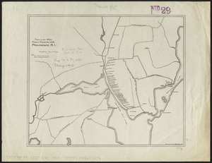
Maps of Providence, R.I., 1650, 1765, 1770
5103.
Maps of the Far East, illustrating Russo-Japanese War
5104.
Maps of the vicinities of thirty-two of the principal cities and towns in the Union
5105.
Maps showing the range, and, within the range, the degree of cultivation of certain principal crops
5106.
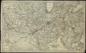
Maps showing the Toledo, Delphos & Burlington Railroad and its connections
5107.
Maps with a moral
5108.
Mar del nort
5109.
Marathon, Wis.
5110.
Marblehead, Massachusetts
5111.
Marca d'Ancona olim Picenum
5112.
March 17-21 ; March 22-26
5113.
The marches of Lord Cornwallis in the southern provinces, now states of North America : comprehending the two Carolinas, with...
5114.
Marchionatus Brandenburgi et Ducatus Pomeraniae tabula quae est pars septentrionalis circuli Saxoniae superioris
5115.
Marchionatus Brandenburgicus
5116.
Mare del Nord
5117.
Mare del Svd, detto altrimenti Mare Pacifico
5118.
Marion Co
5119.
Maris Pacifici (quod vulgo Mar del Zur) cum regionibus circumiacentibus, insulisque in eodem passim sparsis, novissima descriptio
5120.
Marocco, Algier und Tunis
‹ Prev
Next ›
1
2
…
252
253
254
255
256
257
258
259
260
…
444
445