Toggle navigation
LMEC Home
Exhibitions
Georeferencing
Tools for Teachers
Collections
My Favorites
Sign Up / Log In
Search
Search the map portal
Map Collection
Map Collection
Map Sets
Search
Search
Search for
Search In
All Fields
Creator
Title
Subject
Place
Search All Digital Collections
Advanced Search
8780 Results
My Search
Start Over
More Like
commonwealth:9s161f71n
Remove constraint More Like: commonwealth:9s161f71n
Filter your Search
Place
North and Central America
6,011
United States
4,929
Massachusetts
2,090
Europe
1,396
Suffolk (county)
1,131
Boston
1,104
Canada
449
Asia
438
more
Place
»
Topic
Boston (Mass.)--Maps
606
United States--Maps
282
Real property--Massachusetts--Boston--Maps
253
Landowners--Massachusetts--Boston--Maps
170
Massachusetts--Maps
162
City planning--Massachusetts--Boston--Maps
113
North America--Maps--Early works to 1800
103
New England--Maps
102
more
Topic
»
Date
Date range begin
–
Date range end
Current results range from
1482
to
2023
View distribution
Creator
United States. Hydrographic Office
595
O.H. Bailey & Co
148
Des Barres, Joseph F. W. (Joseph Frederick Wallet), 1722-1824
123
United States. Post Office Dept
120
Boston Redevelopment Authority
113
Ptolemy, 2nd cent
100
Walling, Henry Francis, 1825-1888
94
Geological Survey (U.S.)
86
more
Creator
»
Format
Maps/Atlases
8,720
Manuscripts
215
Prints
56
Books
36
Objects/Artifacts
10
Drawings/Illustrations
8
Posters
5
Georeferenced
Yes
869
No
7,911
Collection
Norman B. Leventhal Map & Education Center Collection
8,696
Boston and New England Maps
2,283
Urban Maps
2,072
Maritime Charts and Atlases
1,083
American Revolutionary War-Era Maps
616
Boston Redevelopment Authority Collection
136
Massachusetts Real Estate Atlases
35
Applied Geographics, Inc. Records
2
Available to use
No known restrictions
8,603
Creative Commons license
47
Search Constraints
Sort by relevance
relevance
title
date (asc)
date (desc)
Number of results to display per page
20 per page
10
per page
20
per page
50
per page
100
per page
View results as:
grid view
map view
Search Results
3881.
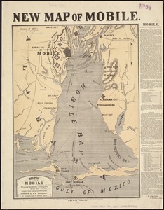
Map of Mobile showing the Rebel stronghold in the Gulf
3882.
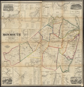
Map of Monmouth County, New Jersey
3883.
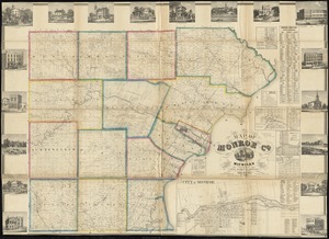
Map of Monroe County, Michigan
3884.
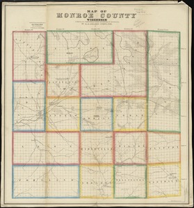
Map of Monroe County, Wisconsin
3885.
Map of Montague Village
3886.
Map of Morris's Purchase or West Geneseo in the state of New York : exhibiting part of the Lakes Erie and Ontario, the...
3887.
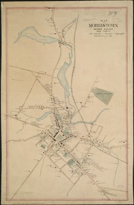
Map of Morristown : Morris County New Jersey
3888.
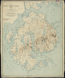
Map of Mount Desert Island, Maine
3889.
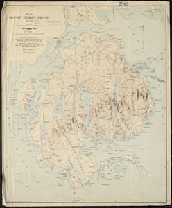
Map of Mount Desert Island, Maine
3890.
Map of Mount Desert Island, Maine
3891.
Map of n. eastern Virginia and vicinity of Washington
3892.
Map of Nebraska showing the Union Pacific Railroad land grant
3893.
Map of New Bedford
3894.
Map of New Bedford and Fairhaven
3895.
Map of New England
3896.
Map of New England : with adjacent portions of New York & Canada
3897.
[Map of New England, 31st]
3898.
A map of New England and New York
3899.
A map of New England, and Nova Scotia : with part of New York, Canada, and New Britain & the adjacent islands of New Found...
3900.
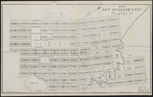
Map of New England City, Dade County, Ga
‹ Prev
Next ›
1
2
…
191
192
193
194
195
196
197
198
199
…
438
439


![[Map of New England, 31st]](https://bpldcassets.blob.core.windows.net/derivatives/images/commonwealth:wd3763094/image_thumbnail_300.jpg)