Toggle navigation
LMEC Home
Exhibitions
Georeferencing
Tools for Teachers
Collections
My Favorites
Sign Up / Log In
Search
Search the map portal
Map Collection
Map Collection
Map Sets
Search
Search
Search for
Search In
All Fields
Creator
Title
Subject
Place
Search All Digital Collections
Advanced Search
8699 Results
My Search
Start Over
More Like
commonwealth:9s161d97k
Remove constraint More Like: commonwealth:9s161d97k
Filter your Search
Place
North and Central America
5,926
United States
4,844
Massachusetts
2,079
Europe
1,396
Suffolk (county)
1,046
Boston
1,019
Canada
449
Asia
438
more
Place
»
Topic
Boston (Mass.)--Maps
586
United States--Maps
282
Real property--Massachusetts--Boston--Maps
175
Massachusetts--Maps
162
Landowners--Massachusetts--Boston--Maps
133
North America--Maps--Early works to 1800
103
New England--Maps
102
Europe--Maps
79
more
Topic
»
Date
Date range begin
–
Date range end
Current results range from
1482
to
2023
View distribution
Creator
United States. Hydrographic Office
595
O.H. Bailey & Co
148
Des Barres, Joseph F. W. (Joseph Frederick Wallet), 1722-1824
123
United States. Post Office Dept
120
Ptolemy, 2nd cent
100
Walling, Henry Francis, 1825-1888
94
Geological Survey (U.S.)
86
Jefferys, Thomas, -1771
85
more
Creator
»
Format
Maps/Atlases
8,639
Manuscripts
215
Prints
56
Books
36
Objects/Artifacts
10
Drawings/Illustrations
8
Posters
5
Georeferenced
Yes
869
No
7,830
Collection
Norman B. Leventhal Map & Education Center Collection
8,694
Boston and New England Maps
2,233
Urban Maps
2,023
Maritime Charts and Atlases
1,083
American Revolutionary War-Era Maps
621
Boston Redevelopment Authority Collection
87
William L. Clements Library Collection
5
Available to use
No known restrictions
8,552
Creative Commons license
47
Search Constraints
Sort by relevance
relevance
title
date (asc)
date (desc)
Number of results to display per page
20 per page
10
per page
20
per page
50
per page
100
per page
View results as:
grid view
map view
Search Results
1.
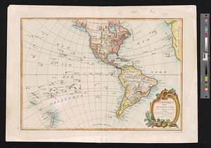
America
2.
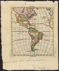
America
3.
America : Nach Arrowsmith, Brué und Lapie mit Benutzung der neuesten Vermessungen
4.
America : nach Arrowsmith, Brué und Lapie mit Benutzung der neuesten-Vermessungen
5.
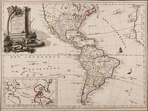
America, with the European Settlements, and the conquests of Cortes and Pizarro
6.
Amerika
7.
Géographie de l'Amérique
8.
Karte von America
9.
Western hemisphere
10.
Westliche halbkugel
11.
The World, on the globular projection with a graduation for the measurement of distances especially adapted for the use oe...
12.
America, engraved according to recent geographical observations
13.
L'Amérique, divisée par grands etats
14.
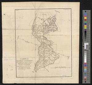
Carte du nouveau continent selon sa plus grande longueur diamètrale depuie la riv'. de la Plata jusqu'au delà du lac des...
15.
Specimen trigesimae sextae partis ex globo terrestri trium pedum Parisin cujus nec non globi Coelestis constructio addito...
16.
The Western Hemisphere from the latest discoveries
17.
The 100th anniversary map of Abraham Lincoln's visit to Massachusetts, September 11-23, 1848
18.
1630 shoreline
19.
1879. Progress map of the U.S. Geographical Surveys west of the 100th Meridian : prepared under the direction of 1st Lieut....
20.
1903 Map of Salem and surrounding places
‹ Prev
Next ›
1
2
3
4
5
…
434
435


![The World, on the globular projection with a graduation for the measurement of distances especially adapted for the use oe [sic] schools, geographical & historical lectures, and missionary meetings](https://bpldcassets.blob.core.windows.net/derivatives/images/commonwealth:ww72bp12b/image_thumbnail_300.jpg)