Toggle navigation
LMEC Home
Exhibitions
Georeferencing
Tools for Teachers
Collections
My Favorites
Sign Up / Log In
Search
Search the map portal
Map Collection
Map Collection
Map Sets
Search
Search
Search for
Search In
All Fields
Creator
Title
Subject
Place
Search All Digital Collections
Advanced Search
8944 Results
My Search
Start Over
More Like
commonwealth:9s1619901
Remove constraint More Like: commonwealth:9s1619901
Filter your Search
Place
North and Central America
6,175
United States
5,091
Massachusetts
2,168
Europe
1,396
Suffolk (county)
1,282
Boston
1,255
Canada
449
Asia
438
more
Place
»
Topic
Boston (Mass.)--Maps
752
United States--Maps
282
City planning--Massachusetts--Boston--Maps
221
Real property--Massachusetts--Boston--Maps
207
Massachusetts--Maps
166
Landowners--Massachusetts--Boston--Maps
146
Urban renewal--Massachusetts--Boston--Maps
138
New England--Maps
104
more
Topic
»
Date
Date range begin
–
Date range end
Current results range from
1482
to
2023
View distribution
Creator
United States. Hydrographic Office
595
Boston Redevelopment Authority
224
O.H. Bailey & Co
148
Des Barres, Joseph F. W. (Joseph Frederick Wallet), 1722-1824
124
United States. Post Office Dept
120
Ptolemy, 2nd cent
100
Walling, Henry Francis, 1825-1888
94
Geological Survey (U.S.)
87
more
Creator
»
Format
Maps/Atlases
8,883
Manuscripts
215
Prints
56
Books
36
Objects/Artifacts
10
Drawings/Illustrations
9
Posters
5
Georeferenced
Yes
885
No
8,059
Collection
Norman B. Leventhal Map & Education Center Collection
8,727
Boston and New England Maps
2,427
Urban Maps
2,209
Maritime Charts and Atlases
1,083
American Revolutionary War-Era Maps
642
Boston Redevelopment Authority Collection
257
Massachusetts Real Estate Atlases
22
Mapping Boston Collection
21
more
Collection
»
Available to use
No known restrictions
8,733
Creative Commons license
71
Search Constraints
Sort by relevance
relevance
title
date (asc)
date (desc)
Number of results to display per page
20 per page
10
per page
20
per page
50
per page
100
per page
View results as:
grid view
map view
Search Results
6741.
Plan of the city of Norwich, New London County, Connt
6742.
A plan of the city of Philadelphia, the capital of Pennsylvania, from an actual survey
6743.
Plan of the city of Providence
6744.
Plan of the city of Quebec : shewing the portions destroyed by the two great fires, May 28th & June 28th, 1845
6745.
Plan of the city of San Domingo
6746.
Plan of the city of St. Louis
6747.
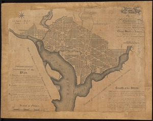
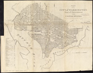
Plan of the city of Washington : now building for the metropolis of America, and established as the permanent residence of...
6748.
Plan of the city of Washington, in the territory of Columbia, ceded by the States of Virginia and Maryland to the United States...
6749.
Plan of the city of Washington in the territory of Columbia, ceded by the states of Virginia and Maryland to the United States...
6750.
Plan of the city of Washington, seat of government of the United States
6751.
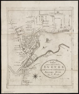
A plan of the compact part of the town of Exeter, at the head of the southerly branch of Piscataqua River
6752.
A plan of the country from Frogspoint to Croton River shewing the positions of the American and British armies from the 12th of...
6753.
Plan of the county of Essex : compiled from the original furnished by the state and corrected under the direction of James...
6754.
[Plan of the cove between Savin Hill and Commercial Point, Dorchester]
6755.
Plan of the Dighton and Somerset rail road
6756.
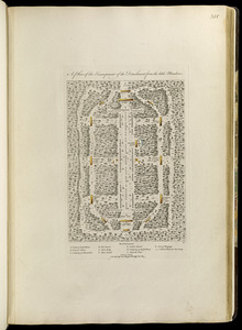
A plan of the disposition of the advanced party consisting of 400 men : to defend the workers in making the road
6757.
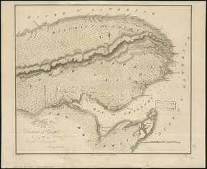
Plan of the district of Gaspé
6758.
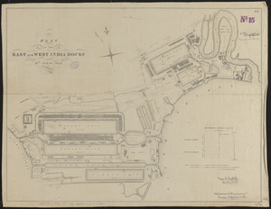
Plan of the East and West India Docks, 15th April 1841
6759.
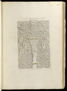
A plan of the encampment of the detachment from the little Meadows
6760.
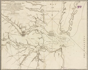
A plan of the entrance of Chesapeak Bay, with James and York rivers : wherein are shewn the respective positions (in the...
‹ Prev
Next ›
1
2
…
334
335
336
337
338
339
340
341
342
…
447
448


![[Plan of the cove between Savin Hill and Commercial Point, Dorchester]](https://bpldcassets.blob.core.windows.net/derivatives/images/commonwealth:js956k66d/image_thumbnail_300.jpg)