Toggle navigation
LMEC Home
Exhibitions
Georeferencing
Tools for Teachers
Collections
My Favorites
Sign Up / Log In
Search
Search the map portal
Map Collection
Map Collection
Map Sets
Search
Search
Search for
Search In
All Fields
Creator
Title
Subject
Place
Search All Digital Collections
Advanced Search
8944 Results
My Search
Start Over
More Like
commonwealth:9s1619901
Remove constraint More Like: commonwealth:9s1619901
Filter your Search
Place
North and Central America
6,175
United States
5,091
Massachusetts
2,168
Europe
1,396
Suffolk (county)
1,282
Boston
1,255
Canada
449
Asia
438
more
Place
»
Topic
Boston (Mass.)--Maps
752
United States--Maps
282
City planning--Massachusetts--Boston--Maps
221
Real property--Massachusetts--Boston--Maps
207
Massachusetts--Maps
166
Landowners--Massachusetts--Boston--Maps
146
Urban renewal--Massachusetts--Boston--Maps
138
New England--Maps
104
more
Topic
»
Date
Date range begin
–
Date range end
Current results range from
1482
to
2023
View distribution
Creator
United States. Hydrographic Office
595
Boston Redevelopment Authority
224
O.H. Bailey & Co
148
Des Barres, Joseph F. W. (Joseph Frederick Wallet), 1722-1824
124
United States. Post Office Dept
120
Ptolemy, 2nd cent
100
Walling, Henry Francis, 1825-1888
94
Geological Survey (U.S.)
87
more
Creator
»
Format
Maps/Atlases
8,883
Manuscripts
215
Prints
56
Books
36
Objects/Artifacts
10
Drawings/Illustrations
9
Posters
5
Georeferenced
Yes
885
No
8,059
Collection
Norman B. Leventhal Map & Education Center Collection
8,727
Boston and New England Maps
2,427
Urban Maps
2,209
Maritime Charts and Atlases
1,083
American Revolutionary War-Era Maps
642
Boston Redevelopment Authority Collection
257
Massachusetts Real Estate Atlases
22
Mapping Boston Collection
21
more
Collection
»
Available to use
No known restrictions
8,733
Creative Commons license
71
Search Constraints
Sort by relevance
relevance
title
date (asc)
date (desc)
Number of results to display per page
20 per page
10
per page
20
per page
50
per page
100
per page
View results as:
grid view
map view
Search Results
6001.
Northern Mississippi and Alabama
6002.
[Northern Mississippi and Alabama
6003.
Northern New Jersey, showing the iron-ore & limestone districts
6004.
Northern Pacific Rail Road and connections
6005.
Northern part of Florida
6006.
Northern Philippines land utilization
6007.
Northern provinces of the United States
6008.
Northumbria, Cumberlandia, et Dunelmensis Episcopatus
6009.
Northwest Africa
6010.
Northwestern Georgia : (with portions of the adjoining states of Tennessee and Alabama) being part of the Department of the...
6011.
Northwestern part of Lake Huron
6012.
Norton, Massachusetts : 1891
6013.
Norvegia regnum divisum in suos dioeceses Nidrosiensem, Bergensem, Opsloensem, et Stavangriensem et praefecturam Bahusiae quae...
6014.
Norway, from the best authorities
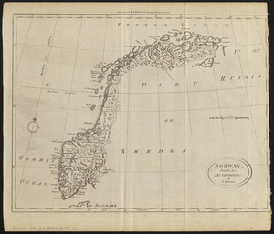
6015.
Norway, west coast : from Norwegian surveys, with corrections to 1886
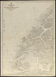
6016.
Norwood, Massachusetts : 1882
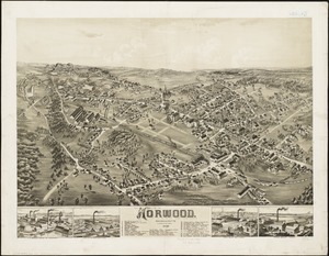
6017.
Noua et accurata totius Americae tabula
6018.
Nouae Africae delineatio
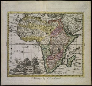
6019.
Noui Belgii Nouaeque Angliae nec non partis Virginiae tabula
6020.
Nouus planiglobii terrestris per utrumque polum conspectus
‹ Prev
Next ›
1
2
…
297
298
299
300
301
302
303
304
305
…
447
448