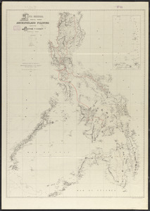
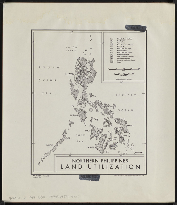
Northern Philippines land utilization
Item Information
- Title:
- Northern Philippines land utilization
- Cartographer:
- United States. Office of Strategic Services. Research and Analysis Branch
- Name on Item:
-
R & A, OSS
- Date:
-
1944
- Format:
-
Maps/Atlases
- Location:
-
Boston Public Library
Norman B. Leventhal Map & Education Center - Collection (local):
-
Norman B. Leventhal Map & Education Center Collection
- Subjects:
-
Land use--Philippines--Maps
Vegetation mapping--Philippines--Maps
Philippines--Maps
- Places:
-
Philippines
- Extent:
- 1 map ; 26 x 20 cm
- Terms of Use:
-
No known copyright restrictions.
No known restrictions on use.
- Publisher:
-
[Washington, D.C.] :
Reproduction Branch, OSS
- Scale:
-
Scale approximately 1:6,000,000
- Language:
-
English
- Notes:
-
Includes key to land use/vegetation/planting including food products, tobacco, subsistence farms, and forests.
"No. A-3760."
"13 June 1944."
"Reliability Code-1B-1B-1."
- Identifier:
-
06_01_015307
- Call #:
-
G8061.G4 1944 .U55
- Barcode:
-
39999085934337