Toggle navigation
LMEC Home
Exhibitions
Georeferencing
Tools for Teachers
Collections
My Favorites
Sign Up / Log In
Search
Search the map portal
Map Collection
Map Collection
Map Sets
Search
Search
Search for
Search In
All Fields
Creator
Title
Subject
Place
Search All Digital Collections
Advanced Search
8565 Results
My Search
Start Over
More Like
commonwealth:9s161982b
Remove constraint More Like: commonwealth:9s161982b
Filter your Search
Place
North and Central America
5,860
United States
4,784
Massachusetts
2,058
Europe
1,359
Suffolk (county)
1,048
Boston
1,021
Canada
448
Asia
422
more
Place
»
Topic
Boston (Mass.)--Maps
577
United States--Maps
273
Real property--Massachusetts--Boston--Maps
174
Massachusetts--Maps
160
Landowners--Massachusetts--Boston--Maps
132
North America--Maps--Early works to 1800
103
New England--Maps
99
Europe--Maps
78
more
Topic
»
Date
Date range begin
–
Date range end
Current results range from
1482
to
2023
View distribution
Creator
United States. Hydrographic Office
594
O.H. Bailey & Co
148
Des Barres, Joseph F. W. (Joseph Frederick Wallet), 1722-1824
123
United States. Post Office Dept
120
Ptolemy, 2nd cent
100
Walling, Henry Francis, 1825-1888
94
Geological Survey (U.S.)
86
Jefferys, Thomas, -1771
85
more
Creator
»
Format
Maps/Atlases
8,506
Manuscripts
216
Prints
56
Books
36
Objects/Artifacts
10
Drawings/Illustrations
8
Posters
4
Georeferenced
Yes
871
No
7,694
Collection
Norman B. Leventhal Map & Education Center Collection
8,556
Boston and New England Maps
2,211
Urban Maps
1,940
Maritime Charts and Atlases
1,081
American Revolutionary War-Era Maps
630
Boston Redevelopment Authority Collection
87
Mapping Boston Collection
7
Library of Congress Collection
3
more
Collection
»
Available to use
No known restrictions
8,409
Creative Commons license
61
Search Constraints
Sort by date (asc)
relevance
title
date (asc)
date (desc)
Number of results to display per page
20 per page
10
per page
20
per page
50
per page
100
per page
View results as:
grid view
map view
Search Results
141.
Artois : Atrebatum regionis vera descriptio
142.
[World map]
143.
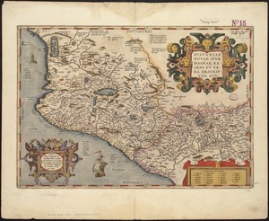
Hispaniae novae sivae magnae, recens et vera desciptio : 1579
144.
America
145.
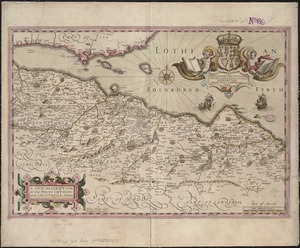
A new description of the shyres Lothian and Linlitquo
146.
Bloys
147.
Maris Pacifici (quod vulgo Mar del Zur) cum regionibus circumiacentibus, insulisque in eodem passim sparsis, novissima descriptio
148.
Carte geographique de la Nouvelle Franse
149.
Provinciae, regionis Galliae, vera exactissimaque descriptio
150.
Magnae Britanniae et Hiberniae Tabula
151.
New England : die mercklichsten dheile, also genennet durch den durchl: und mechtigen Prinzen und h.h. Carolus, Prinzen von...
152.
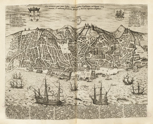
Olissippo quae nunc Lisboa ciuitas amplissima Lusi taniae, ad Tagum, toti Orientis, et multarum insularum Aphricaeque et...
153.
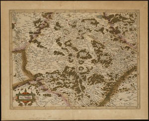
La partie meridionale de Lorraine
154.
Carte du contat d'Avignon et Venaisain
155.
Carte du Grand Perche et Perche Gouet
156.
Portolan atlas
157.
Belgii veteris typus
158.
The north part of America : conteyning Newfoundland, new England, Virginia, Florida, new Spaine, and Noua Francia wth ye rich...
159.
America with those known parts in that unknowne worlde both people and manner of buildings
160.
Carte du pais de Xaintonge
‹ Prev
Next ›
1
2
…
4
5
6
7
8
9
10
11
12
…
428
429

![[World map]](https://bpldcassets.blob.core.windows.net/derivatives/images/commonwealth:wd3762879/image_thumbnail_300.jpg)