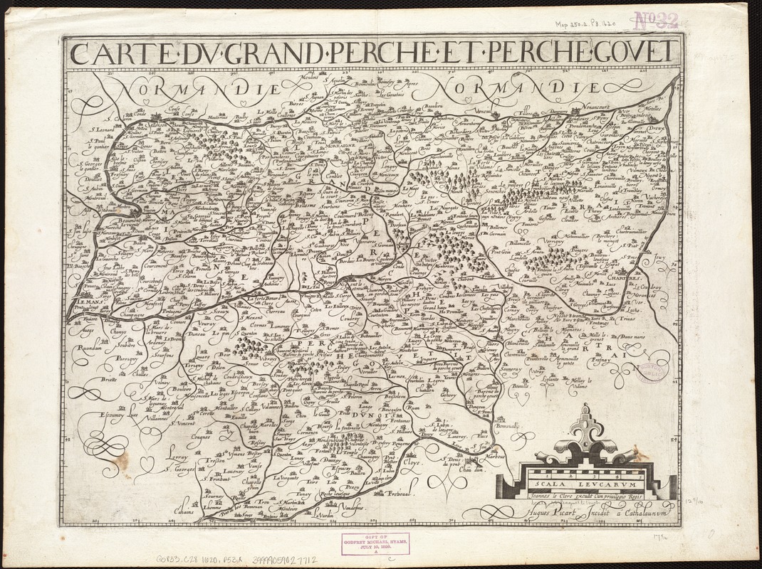
Carte du Grand Perche et Perche Gouet
Item Information
- Title:
- Carte du Grand Perche et Perche Gouet
- Title (alt.):
-
Carte dv Grand Perche et Perche Govet
- Creator:
- Picart, H. (Hugues), 1587-1662 or 4
- Name on Item:
-
Huges Picart incidit a Cathalaunum.
- Date:
-
[1620]
- Format:
-
Maps/Atlases
- Location:
-
Boston Public Library
Norman B. Leventhal Map & Education Center - Collection (local):
-
Norman B. Leventhal Map & Education Center Collection
- Subjects:
-
Perche (France)--Maps--Early works to 1800
Centre (France)--Maps--Early works to 1800
- Places:
-
FrancePerche (area)
FranceCentre (region)
- Extent:
- 1 map ; 32 x 44 cm.
- Terms of Use:
-
No known copyright restrictions.
No known restrictions on use.
- Publisher:
-
[S.l.] :
Joannes Le Clerc excudit
- Scale:
-
Scale ca. 1:285,000.
- Language:
-
French
- Notes (date):
-
This date is inferred.
- Identifier:
-
06_01_006679
- Call #:
-
G5833.C28 1620 .P53x
- Barcode:
-
39999059027712