Toggle navigation
LMEC Home
Exhibitions
Georeferencing
Tools for Teachers
Collections
My Favorites
Sign Up / Log In
Search
Search the map portal
Map Collection
Map Collection
Map Sets
Search
Search
Search for
Search In
All Fields
Creator
Title
Subject
Place
Search All Digital Collections
Advanced Search
8920 Results
My Search
Start Over
More Like
commonwealth:9s1619413
Remove constraint More Like: commonwealth:9s1619413
Filter your Search
Place
North and Central America
6,151
United States
5,067
Massachusetts
2,137
Europe
1,396
Suffolk (county)
1,266
Boston
1,239
Canada
449
Asia
438
more
Place
»
Topic
Boston (Mass.)--Maps
752
United States--Maps
282
Real property--Massachusetts--Boston--Maps
253
City planning--Massachusetts--Boston--Maps
187
Landowners--Massachusetts--Boston--Maps
170
Massachusetts--Maps
166
New England--Maps
104
North America--Maps--Early works to 1800
103
more
Topic
»
Date
Date range begin
–
Date range end
Current results range from
1482
to
2023
View distribution
Creator
United States. Hydrographic Office
595
Boston Redevelopment Authority
192
O.H. Bailey & Co
148
Des Barres, Joseph F. W. (Joseph Frederick Wallet), 1722-1824
124
United States. Post Office Dept
120
Ptolemy, 2nd cent
100
Walling, Henry Francis, 1825-1888
94
Geological Survey (U.S.)
87
more
Creator
»
Format
Maps/Atlases
8,860
Manuscripts
215
Prints
56
Books
36
Objects/Artifacts
10
Drawings/Illustrations
8
Posters
5
Georeferenced
Yes
885
No
8,035
Collection
Norman B. Leventhal Map & Education Center Collection
8,724
Boston and New England Maps
2,390
Urban Maps
2,174
Maritime Charts and Atlases
1,083
American Revolutionary War-Era Maps
638
Boston Redevelopment Authority Collection
223
Massachusetts Real Estate Atlases
38
Mapping Boston Collection
20
more
Collection
»
Available to use
No known restrictions
8,697
Creative Commons license
70
Search Constraints
Sort by relevance
relevance
title
date (asc)
date (desc)
Number of results to display per page
20 per page
10
per page
20
per page
50
per page
100
per page
View results as:
grid view
map view
Search Results
1781.
Capitanata, olim Mesapiae et Iapygiae pars
1782.
Carácas and La Guaira
1783.
Caribbean Sea, harbors etc. on the Mosquito coast : from British surveys corrected to 1872
1784.
Caribbean Sea--coast of Yucatan, special plans to chart no. 401 : from British surveys, corrected to 1872
1785.
Caribbean Sea--Gulf of Mexico, special plans to chart no. 404 : from British surveys, corrected to 1872
1786.
Caribbean Sea--western shore, special plans to chart no. 394 : from British surveys, corrected to 1872
1787.
Caribbean Sea--Yucatan, special plans to chart no. 401 : from British surveys, corrected to 1872
1788.
The Caribbee Islands and Guayana
1789.
Caribou, Aroostook Co. Maine : 1893
1790.
Caribou National Forest, Idaho
1791.
Carl Jügel's post u. reise karte von Deutschland und den nachbar staaten, bis London, Paris, Montpellier, Florenz, Warschau,...
1792.
Carolina
1793.
Carolina is by vertue of a warr and under of hand and se all of the Right Honble. Charles Craven, Esqt. Governr. of this...
1794.
Caroline Islands, Yap Island
1795.
Carpathes - Roumanie - Balkans
1796.
Carriers of the new black plague
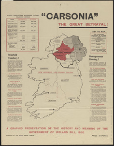
1797.
Carsonia the great betrayal!
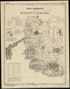
1798.
Carta corografica del Distrito Federal
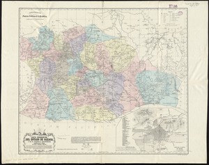
1799.
Carta corográfica del estado de Oaxaca y de su capital y alrededores
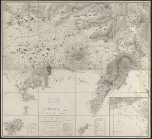
1800.
Carta de' contorni di Napoli
‹ Prev
Next ›
1
2
…
86
87
88
89
90
91
92
93
94
…
445
446