Toggle navigation
LMEC Home
Exhibitions
Georeferencing
Tools for Teachers
Collections
My Favorites
Sign Up / Log In
Search
Search the map portal
Map Collection
Map Collection
Map Sets
Search
Search
Search for
Search In
All Fields
Creator
Title
Subject
Place
Search All Digital Collections
Advanced Search
8565 Results
My Search
Start Over
More Like
commonwealth:8336h2688
Remove constraint More Like: commonwealth:8336h2688
Filter your Search
Place
North and Central America
5,860
United States
4,784
Massachusetts
2,056
Europe
1,359
Suffolk (county)
1,038
Boston
1,011
Canada
448
Asia
422
more
Place
»
Topic
Boston (Mass.)--Maps
580
United States--Maps
278
Real property--Massachusetts--Boston--Maps
175
Massachusetts--Maps
160
Landowners--Massachusetts--Boston--Maps
133
North America--Maps--Early works to 1800
103
New England--Maps
101
Europe--Maps
78
more
Topic
»
Date
Date range begin
–
Date range end
Current results range from
1482
to
2023
View distribution
Creator
United States. Hydrographic Office
594
O.H. Bailey & Co
148
Des Barres, Joseph F. W. (Joseph Frederick Wallet), 1722-1824
123
United States. Post Office Dept
120
Ptolemy, 2nd cent
100
Walling, Henry Francis, 1825-1888
94
Geological Survey (U.S.)
86
Jefferys, Thomas, -1771
85
more
Creator
»
Format
Maps/Atlases
8,506
Manuscripts
215
Prints
56
Books
36
Objects/Artifacts
10
Drawings/Illustrations
8
Posters
4
Georeferenced
Yes
869
No
7,696
Collection
Norman B. Leventhal Map & Education Center Collection
8,565
Boston and New England Maps
2,210
Urban Maps
1,940
Maritime Charts and Atlases
1,081
American Revolutionary War-Era Maps
616
Boston Redevelopment Authority Collection
87
Available to use
No known restrictions
8,424
Creative Commons license
46
Search Constraints
Sort by relevance
relevance
title
date (asc)
date (desc)
Number of results to display per page
20 per page
10
per page
20
per page
50
per page
100
per page
View results as:
grid view
map view
Search Results
3621.
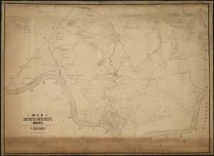
A Map of Methuen, Mass
3622.
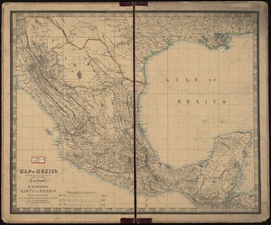
Map of Mexico, constructed from all available materials and corrected to 1862 = H. Kiepert's karte von Mexico, überdruck aus...
3623.
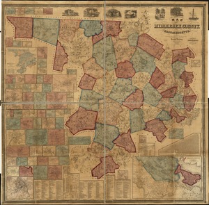
Map of Middlesex County, Mass : copied from a map belonging to the state, with various additions and alterations, by order of...
3624.
Map of Middlesex County, Massachusetts : based upon the trigonometrical survey of the state
3625.
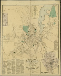
Map of Milford : town of Milford Worcester Co. Mass : from actual surveys and records
3626.
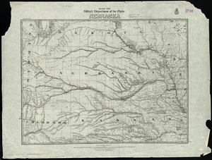
Map of military Department of the Platte, Nebraska
3627.
Map of military reconnaissance from Fort Taylor to the Coeur d'Alene mission, Washington Territory
3628.
Map of military road from Fort Walla Walla on the Columbia to Fort Benton on the Missouri
3629.
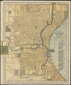
Map of Milwaukee, Wisconsin
3630.
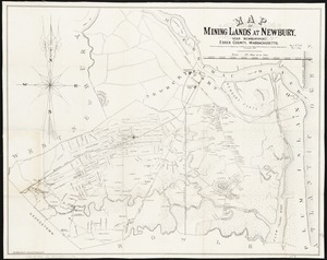
Map of mining lands at Newbury, near Newburyport, Essex County, Massachusetts
3631.
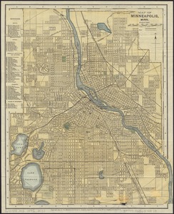
Map of Minneapolis, Minn
3632.
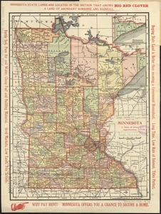
Map of Minnesota : a state of great opportunities
3633.
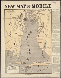
Map of Mobile showing the Rebel stronghold in the Gulf
3634.
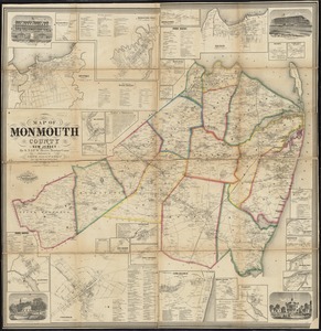
Map of Monmouth County, New Jersey
3635.
Map of Monroe County, Michigan
3636.
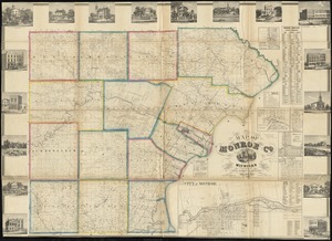
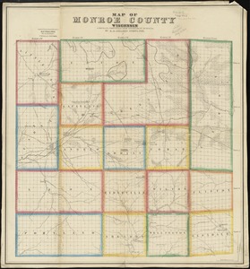
Map of Monroe County, Wisconsin
3637.
Map of Montague Village
3638.
Map of Morris's Purchase or West Geneseo in the state of New York : exhibiting part of the Lakes Erie and Ontario, the...
3639.
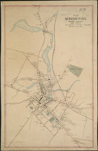
Map of Morristown : Morris County New Jersey
3640.
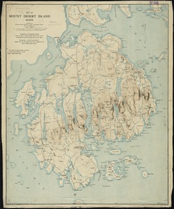
Map of Mount Desert Island, Maine
‹ Prev
Next ›
1
2
…
178
179
180
181
182
183
184
185
186
…
428
429