Toggle navigation
LMEC Home
Exhibitions
Georeferencing
Tools for Teachers
Collections
My Favorites
Sign Up / Log In
Search
Search the map portal
Map Collection
Map Collection
Map Sets
Search
Search
Search for
Search In
All Fields
Creator
Title
Subject
Place
Search All Digital Collections
Advanced Search
8257 Results
My Search
Start Over
More Like
commonwealth:8049g891f
Remove constraint More Like: commonwealth:8049g891f
Filter your Search
Place
North and Central America
4,936
United States
3,617
Suffolk (county)
1,026
Boston
999
Europe
963
Canada
440
North America
301
France
269
more
Place
»
Topic
Boston (Mass.)--Maps
574
United States--Maps
270
North America--Maps--Early works to 1800
180
Real property--Massachusetts--Boston--Maps
174
Massachusetts--Maps
160
Landowners--Massachusetts--Boston--Maps
132
New England--Maps
99
Europe--Maps
78
more
Topic
»
Date
Date range begin
–
Date range end
Current results range from
1482
to
2023
View distribution
Creator
United States. Hydrographic Office
357
O.H. Bailey & Co
148
Des Barres, Joseph F. W. (Joseph Frederick Wallet), 1722-1824
123
United States. Post Office Dept
120
Ptolemy, 2nd cent
100
Walling, Henry Francis, 1825-1888
94
Jefferys, Thomas, -1771
90
Geological Survey (U.S.)
82
more
Creator
»
Format
Maps/Atlases
8,198
Manuscripts
219
Prints
51
Books
36
Objects/Artifacts
10
Drawings/Illustrations
8
Posters
4
Georeferenced
Yes
872
No
7,385
Collection
Norman B. Leventhal Map Center Collection
8,171
Boston and New England Maps
2,185
Urban Maps
1,925
Maritime Charts and Atlases
750
American Revolutionary War-Era Maps
696
Boston Redevelopment Authority Collection
86
New York Public Library Collection
34
Richard H. Brown Revolutionary War Map Collection at Mount Vernon
21
more
Collection
»
Available to use
No known restrictions
8,024
Creative Commons license
118
Search Constraints
Sort by relevance
relevance
title
date (asc)
date (desc)
Number of results to display per page
20 per page
10
per page
20
per page
50
per page
100
per page
View results as:
grid view
map view
Search Results
61.
Carte geographique de la Nouvelle Franse
62.
Carte nouvelle de l'Amérique Angloise contenant tout ce que les Anglois possédent sur le continent de l'Amérique...
63.
Chart of the Atlantic Ocean, with the British, French, & Spanish settlements in North America, and the West Indies : as also on...
64.
Chart of the Atlantic Ocean, with the British, French, & Spanish settlements in North America, and the West Indies : as also on...
65.
Le Colonie Unite dell' America Settentr'le di nuova projezione a ss. ee. li signori riformatori dello studio di Padova : con...
66.
Domina Anglorum in America Septentrionali specialibus mappis Londini primum a Mollio edita, nunc recusa ab Homannianis Hered =...
67.
The English empire in America, Newfound-land, Canada, Hudsons Bay, &c. in plano
68.
The English Empire in America, Newfound-land, Canada, Hudsons Bay &c. in plano
69.
Extract from a map of the British and French dominions in North America
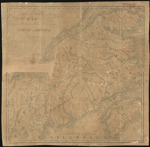
70.
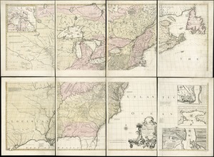
A general map of North America : in which is express'd the several new roads, forts, engagements, &c, taken from actual surveys...
71.
Generalkarte von Nord America samt den Westindischen inseln
72.
The isle of California : New Mexico : Louisiane : The river Misisipi, and the lakes of Canada
73.
A map of Louisiana and of the River Mississipi
74.
A map of New England, and Nova Scotia : with part of New York, Canada, and New Britain & the adjacent islands of New Found...
75.
A map of North America, & the West India Islands, with part of South America, Europe, Africa & the Atlantic Ocean with it's...
76.
A map of North America, with the European settlements & whatever else is remarkable in ye West Indies, from the latest and best...
77.
A map of the British and French dominions in North America : with the roads, distances, limits, and extent of the settlements,...
78.
A map of the British and French dominions in North America : with the roads, distances, limits, and extent of the settlements,...
79.
A map of the British and French dominions in North America, with the roads, distances, limits, and extent of the settlements
80.
A map of the British and French settlements in North America
‹ Prev
Next ›
1
2
3
4
5
6
7
8
…
412
413