Search Constraints
Search Results
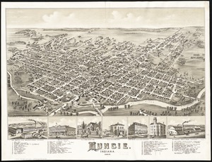
4904. Muncie, Indiana : 1884
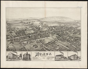
4905. Muncy : Pennsylvania
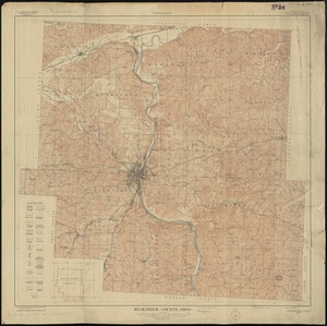
4906. Muskingum County, Ohio
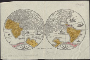
4911. The Nancy globe

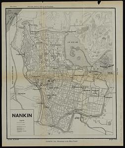
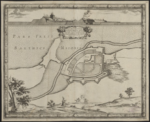
4913. Nankin

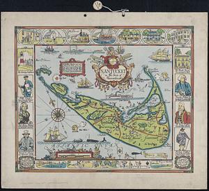
4915. Nantucket
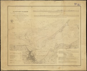
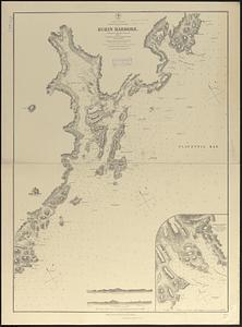
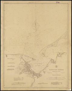
4916. Nantucket Harbor
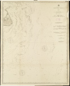
4919. Nantucket Shoals, Mass