Toggle navigation
LMEC Home
Exhibitions
Georeferencing
Tools for Teachers
Collections
My Favorites
Sign Up / Log In
Search
Search the map portal
Map Collection
Map Collection
Map Sets
Search
Search
Search for
Search In
All Fields
Creator
Title
Subject
Place
Search All Digital Collections
Advanced Search
634 Results
My Search
Start Over
More Like
commonwealth:7h14cw28w
Remove constraint More Like: commonwealth:7h14cw28w
Filter your Search
Place
North and Central America
631
United States
616
Suffolk (county)
431
Boston
429
Massachusetts
317
Roxbury
40
Downtown Boston
38
South End
38
more
Place
»
Topic
City planning--Massachusetts--Boston--Maps
352
Massachusetts--Maps
235
Urban renewal--Massachusetts--Boston--Maps
232
Boston (Mass.)--Maps
153
Land use--Massachusetts--Boston--Maps
97
Buildings--Massachusetts--Boston--Maps
73
Real property--Massachusetts--Boston--Maps
44
Central business districts--Massachusetts--Boston--Maps
40
more
Topic
»
Date
Date range begin
–
Date range end
Current results range from
1760
to
2020
View distribution
Creator
Boston Redevelopment Authority
332
MassGIS (Office : Mass.)
22
Geo. H. Walker & Co
15
Massachusetts. Executive Office of Environmental Affairs
15
Downtown Waterfront Corporation
10
Victor Gruen Associates
10
Boston Public Library. Norman B. Leventhal Map and Education Center
9
Applied Geographics, Inc.
7
more
Creator
»
Format
Maps/Atlases
632
Manuscripts
3
Prints
2
Ephemera
1
Georeferenced
Yes
68
No
566
Collection
Boston and New England Maps
560
Urban Maps
394
Boston Redevelopment Authority Collection
387
Norman B. Leventhal Map & Education Center Collection
220
Applied Geographics, Inc. Records
22
American Revolutionary War-Era Maps
20
David Judkins Weaver Papers
18
Sidney R. Knafel Map Collection at Phillips Academy
8
more
Collection
»
Available to use
No known restrictions
594
Creative Commons license
12
Search Constraints
Sort by relevance
relevance
title
date (asc)
date (desc)
Number of results to display per page
20 per page
10
per page
20
per page
50
per page
100
per page
View results as:
grid view
map view
Search Results
301.
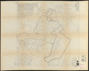
Central business district urban renewal area Massachusetts r-82 : property map
302.
Central business district urban renewal area Massachusetts r-82 A,B,C : disposition parcels
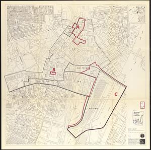
303.
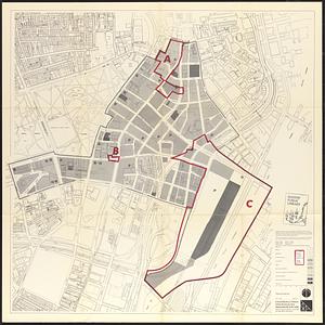
Central business district urban renewal area Massachusetts r-82 A,B,C : proposed land use
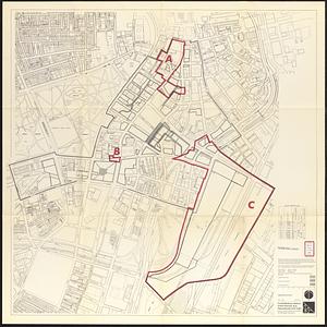
304.
Central business district urban renewal area Massachusetts r-82 A,B,C : zoning
305.
Central business district urban renewal area R-82 : sub area boundaries
306.
Central business district urban renewal area r-82 : parcel acquisition map
307.
Central business district urban renewal area r-82 : existing land use
308.
Central business district urban renewal area r-82 : building deficiencies
309.
Charles River Basin contour map of lower basin from surveys and soundings made in Aug. and Sept. 1902 for Committee on Charles...
310.
Charles River Basin contour map of upper basin from surveys and soundings
311.
Charles River, Boston Harbor, and the proposed Charles River basin : prepared to accompany report made to Henry L. Higginson,...
312.
Charlestown project no. Mass r-42 (GN) : existing circulation
313.
Charlestown project no. Mass r-42 (GN) : existing zoning
314.
Charlestown project no. Mass r-42 (GN) : generalized building conditions
315.
Charlestown project no. Mass r-42 (GN) : proposed treatment areas and project boundaries
316.
Charlestown project no. Mass r-42 (GN) : population distribution
317.
Charlestown project no. Mass r-42 (GN) : existing building coverage
318.
Charlestown renewal area : location map
319.
Charlestown renewal area : blighted areas
320.
Charlestown renewal area : existing conditions & proposed treatment areas
‹ Prev
Next ›
1
2
…
12
13
14
15
16
17
18
19
20
…
31
32