Toggle navigation
LMEC Home
Exhibitions
Georeferencing
Tools for Teachers
Collections
My Favorites
Sign Up / Log In
Search
Search the map portal
Map Collection
Map Collection
Map Sets
Search
Search
Search for
Search In
All Fields
Creator
Title
Subject
Place
Search All Digital Collections
Advanced Search
8729 Results
My Search
Start Over
More Like
commonwealth:7h14b205f
Remove constraint More Like: commonwealth:7h14b205f
Filter your Search
Place
North and Central America
5,960
United States
4,878
Massachusetts
2,083
Europe
1,396
Suffolk (county)
1,048
Boston
1,021
Canada
456
Asia
438
more
Place
»
Topic
Boston (Mass.)--Maps
588
United States--Maps
282
Real property--Massachusetts--Boston--Maps
175
Massachusetts--Maps
164
Landowners--Massachusetts--Boston--Maps
133
New England--Maps
127
North America--Maps--Early works to 1800
103
Europe--Maps
79
more
Topic
»
Date
Date range begin
–
Date range end
Current results range from
1482
to
2023
View distribution
Creator
United States. Hydrographic Office
595
O.H. Bailey & Co
148
Des Barres, Joseph F. W. (Joseph Frederick Wallet), 1722-1824
123
United States. Post Office Dept
120
Ptolemy, 2nd cent
100
Walling, Henry Francis, 1825-1888
94
Jefferys, Thomas, -1771
87
Geological Survey (U.S.)
86
more
Creator
»
Format
Maps/Atlases
8,669
Manuscripts
215
Prints
56
Books
36
Objects/Artifacts
10
Drawings/Illustrations
8
Posters
5
Georeferenced
Yes
871
No
7,858
Collection
Norman B. Leventhal Map & Education Center Collection
8,698
Boston and New England Maps
2,239
Urban Maps
2,023
Maritime Charts and Atlases
1,083
American Revolutionary War-Era Maps
642
Boston Redevelopment Authority Collection
87
American Antiquarian Society Collection
9
MacLean Collection Map Library
9
more
Collection
»
Available to use
No known restrictions
8,556
Creative Commons license
50
Search Constraints
Sort by relevance
relevance
title
date (asc)
date (desc)
Number of results to display per page
20 per page
10
per page
20
per page
50
per page
100
per page
View results as:
grid view
map view
Search Results
7261.
Saskatchewan
7262.
Saskatchewan : map showing disposition of lands
7263.
Saskatchewan : map showing disposition of lands
7264.
Satsuma, Putnam County, Florida : the property of Whitney, Gold and Hodges
7265.
Sauk County, Wis.
7266.
Sault du Niagara de 135 pieds de haut
7267.
[Scandinavia]
7268.
Scarborough's map of Ontario : with an index of all cities, villages, post-offices and railway stations and population...
7269.
Scarborough's new county and post office map of Louisiana and Mississippi : with complete index giving population and location...
7270.
Scarborough's new county and post office map of Virginia, Maryland, Delaware, and District of Columbia : with complete index...
7271.
Scarborough's new railroad, post office, township and county map of New York with distances between stations
7272.
Scattergood's map of sixteen miles around Philadelphia
7273.
Scene of the great battle yesterday between Sharpsburg and Middletown
7274.
Schaap-balie
7275.
Schedler's map of Turkey and Greece
7276.
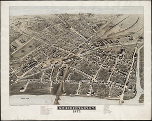
Schenectady, N.Y
7277.
Schonberg's imperial map of the United States and Canada : constructed, drawn and compiled from the latest and best authorities...
7278.
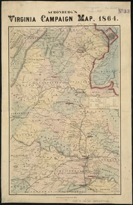
Schonberg's Virginia campaign map, 1864
7279.
School atlas to Cummings' ancient & modern geography [cover]
7280.
Schweiz
‹ Prev
Next ›
1
2
…
360
361
362
363
364
365
366
367
368
…
436
437


![[Scandinavia]](https://bpldcassets.blob.core.windows.net/derivatives/images/commonwealth:7h14b059b/image_thumbnail_300.jpg)


![School atlas to Cummings' ancient & modern geography [cover]](https://bpldcassets.blob.core.windows.net/derivatives/images/commonwealth:3f463152q/image_thumbnail_300.jpg)